General Information
Internal Identifier CG_G1_O_b
| Soil Type | Chernozem |
|---|
| Classification | WRB |
|---|
|
| Location | Bernburg (Westerfeld) |
|---|
| Latitude | 51.820 |
|---|
| Longitude | 11.700 |
|---|
|
| Landuse | agricultural crop rotation |
|---|
| Tillage | reduced tillage |
|---|
| Crop | winter wheat, maize, winter wheat, winter rape, winter barley |
|---|
|
| Sampling Depth | 13.0 |
|---|
| Sample Height | 10.0 |
|---|
| Sampling Date | March 28, 2017 |
|---|
| Voxel size | 0.06 |
|---|
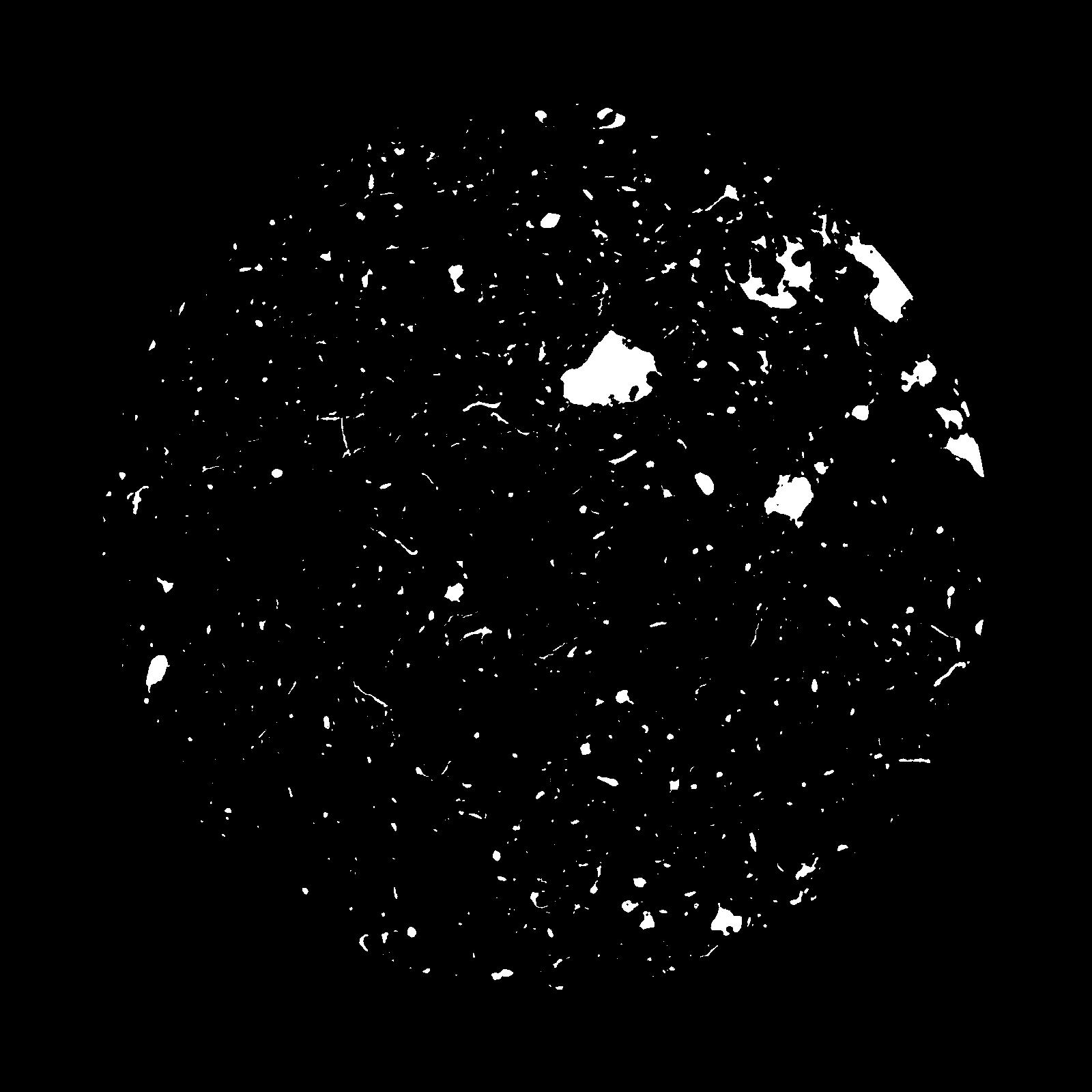
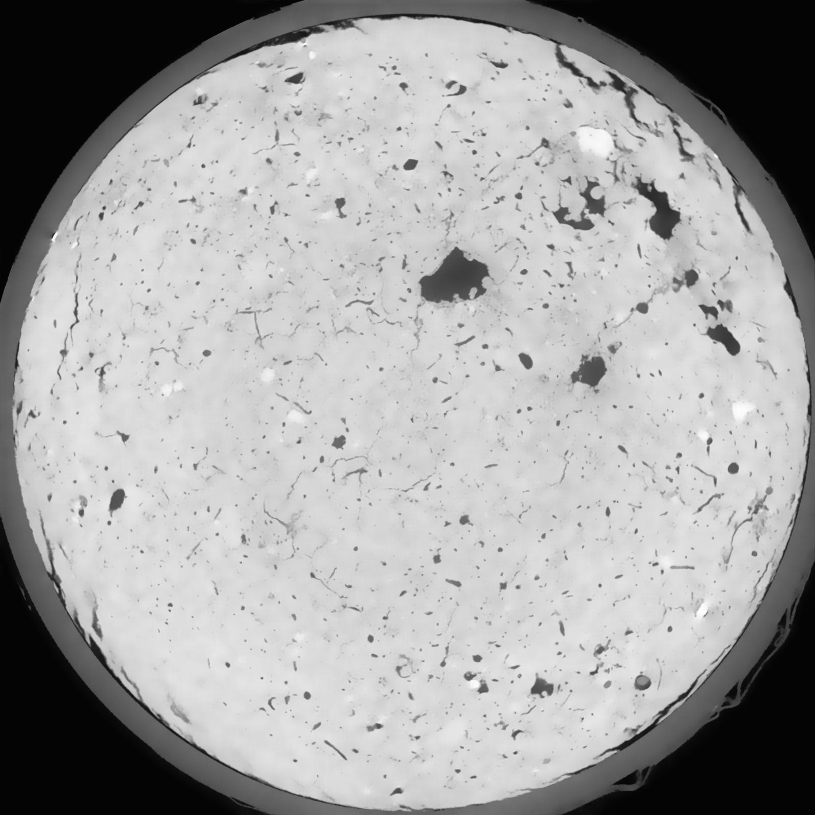
| Pores white? | True |
|---|
|
| XY Plane |

|
|---|
|
| XY Plane Grey |

|
|---|
|
| Texture | silt loam |
|---|
| Sand | 8.0 |
|---|
| Silt | 79.0 |
|---|
| Clay | 13.0 |
|---|
|
|
Results
| Porosity | Surface | Mean Curvature | Euler | MeanPoreSize | Gamma | PoreDist |
| 0.03532 | 0.3065 | 0.213722222 | 0.541666667 | 0.0 | 0.4164 | 0.525788012 |
| Opening size | Volume | Surface | MeanCurvature | Euler number |
|---|
| 0.12 | 0.03532 | 0.3065 | 0.213722222 | 0.541666667 |
| 0.15 | 0.03326 | 0.249 | 0.136805556 | 0.205138889 |
| 0.18 | 0.03165 | 0.213666667 | 0.100333333 | 0.114166667 |
| 0.21 | 0.03035 | 0.19 | 0.081277778 | 0.087222222 |
| 0.24 | 0.02983 | 0.182 | 0.078055556 | 0.099444444 |
| 0.27 | 0.02656 | 0.13365 | 0.044583333 | 0.043564352 |
| 0.3 | 0.02529 | 0.117883333 | 0.036111111 | 0.034591204 |
| 0.36 | 0.02362 | 0.098566667 | 0.026877778 | 0.024068056 |
| 0.42 | 0.02118 | 0.074233333 | 0.015738889 | 0.010719444 |
| 0.48 | 0.01993 | 0.063683333 | 0.011852778 | 0.006941667 |
| 0.54 | 0.01829 | 0.052 | 0.008122222 | 0.004535556 |
| 0.6000000000000001 | 0.01751 | 0.046866667 | 0.006691667 | 0.003047454 |
| 0.6599999999999999 | 0.01636 | 0.0407 | 0.005233333 | 0.00277125 |
| 0.72 | 0.01572 | 0.0373 | 0.004508333 | 0.001737593 |
| 0.78 | 0.01487 | 0.03345 | 0.003741667 | 0.001452454 |
| 0.8400000000000001 | 0.01446 | 0.0316 | 0.003430556 | 0.001069306 |
| 0.8999999999999999 | 0.01373 | 0.0288 | 0.002972222 | 0.000953426 |
| 1.2 | 0.01112 | 0.0205 | 0.001927917 | 0.000632639 |
| 1.5 | 0.008461 | 0.013185 | 0.001061278 | 0.000356431 |
| 1.8 | 0.006671 | 0.009041667 | 0.000633556 | 0.000204944 |
| 2.1 | 0.005385 | 0.006375 | 0.000365167 | 0.000098019 |
| 2.7 | 0.004188 | 0.004313333 | 0.000193006 | 0.000017821 |
| 3.3000000000000003 | 0.003395 | 0.003421667 | 0.000152372 | 0.000017821 |
| 3.9 | 0.002609 | 0.002588333 | 0.000114414 | 0.000008226 |
| 4.5 | 0.000387 | 0.0004565 | 0.000028336 | 0.000005484 |
Reference: An open Soil Structure Library based on X-ray CT data


