General Information
Internal Identifier SS_YS_OMB2_d
| Soil Type | Pellic Vertisol |
|---|
| Classification | WRB |
|---|
|
| Location | Shuuni Park, Binyamina, Israel |
|---|
| Latitude | 32.5367 |
|---|
| Longitude | 34.953056 |
|---|
|
| Landuse | Vineyard |
|---|
| Tillage | no Tillage |
|---|
| Crop | Grassland |
|---|
|
| Sample Height | 10.0 |
|---|
| Sampling Date | Aug. 25, 2019 |
|---|
| Voxel size | 0.005 |
|---|
|
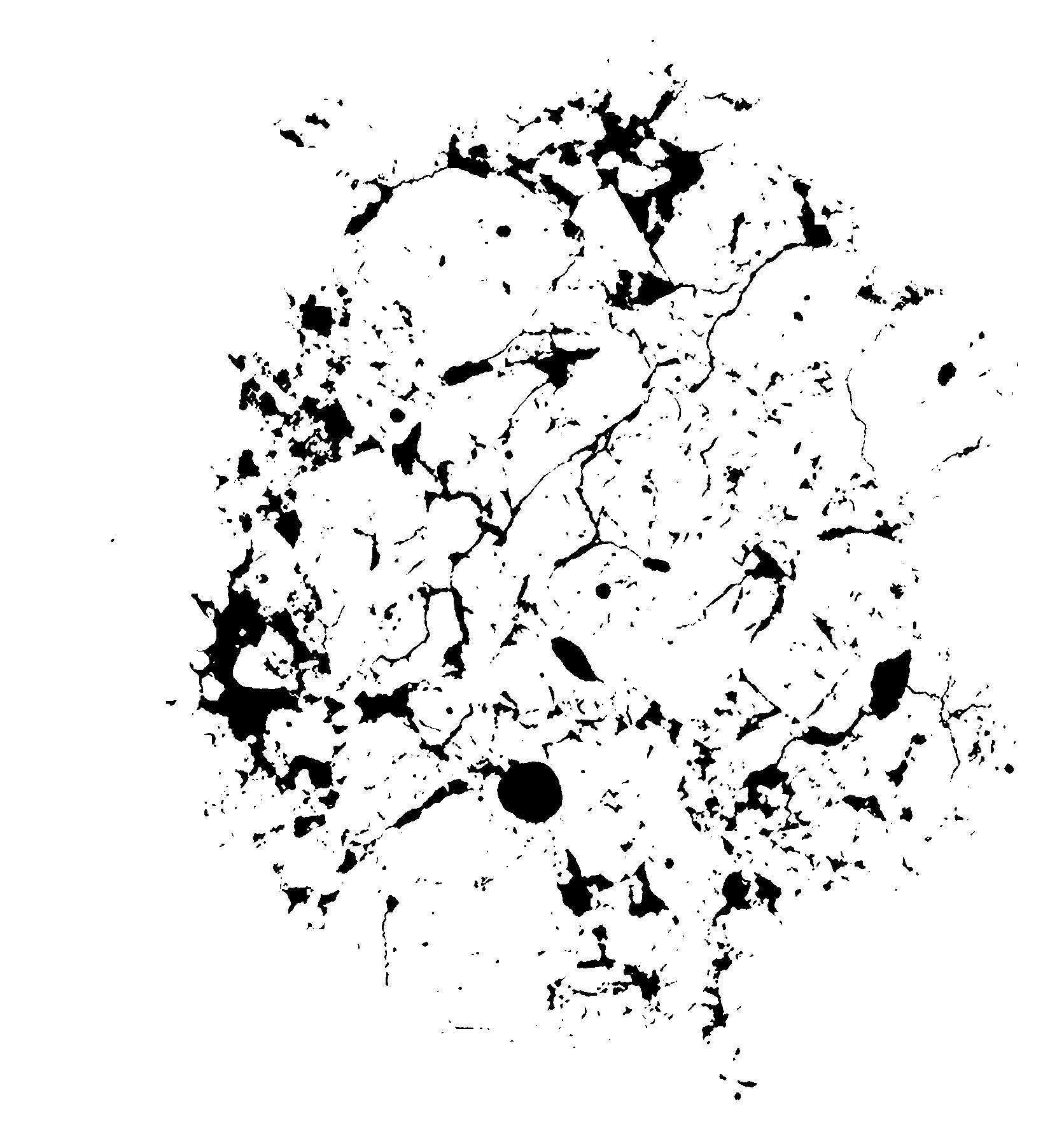
| XY Plane |

|
|---|
|
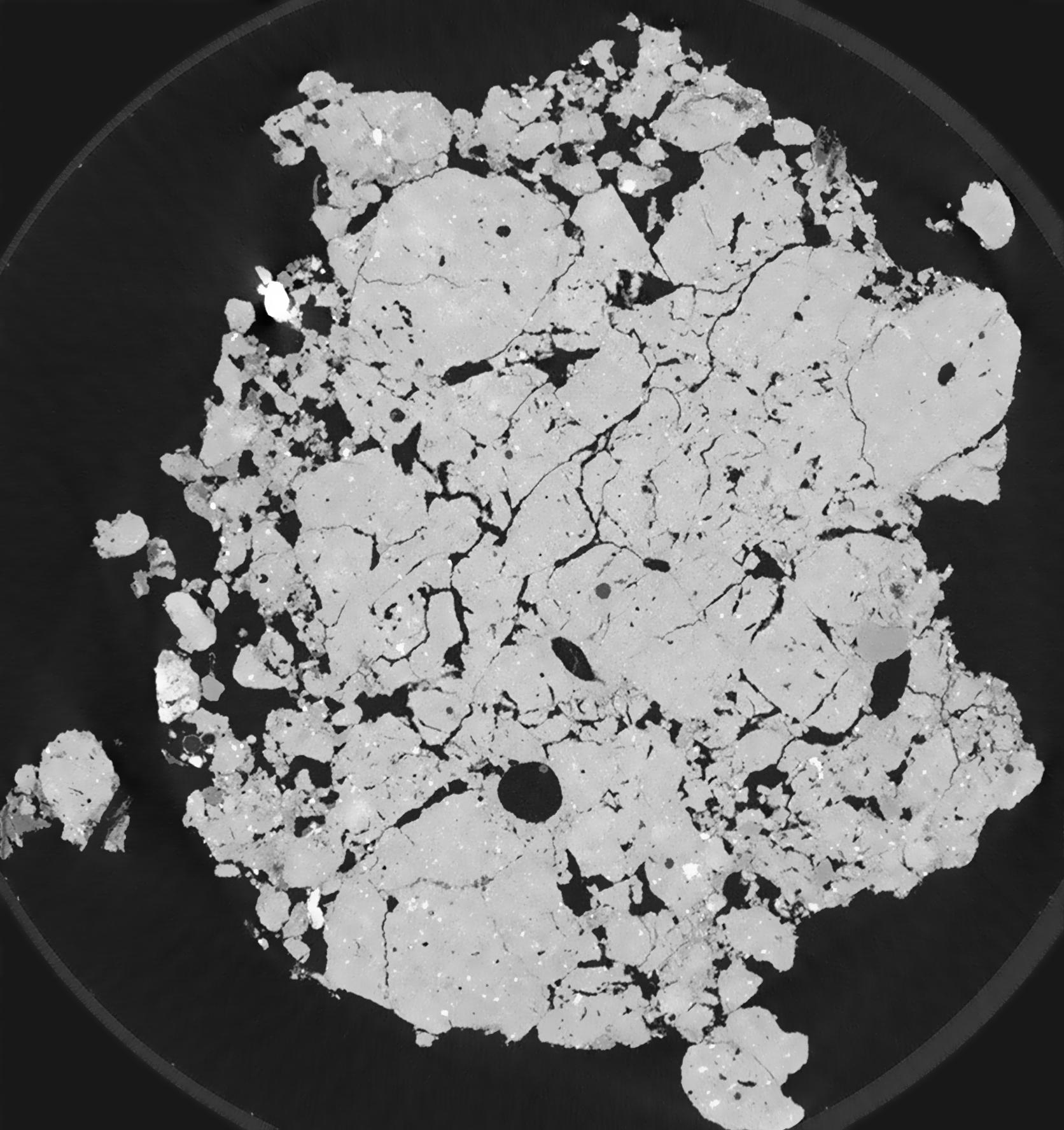
| XY Plane Grey |

|
|---|
|
| Texture | clay |
|---|
| Sand | 15.0 |
|---|
| Silt | 30.0 |
|---|
| Clay | 55.0 |
|---|
|
|
Results
| Porosity | Surface | Mean Curvature | Euler | MeanPoreSize | Gamma | PoreDist |
| 0.1508 | 10.206 | 37.688 | -604.64 | 0.0 | 0.865 | 0.040038845 |
| Opening size | Volume | Surface | MeanCurvature | Euler number |
|---|
| 0.01 | 0.1508 | 10.206 | 37.688 | -604.64 |
| 0.0125 | 0.1474 | 9.11 | 30.812 | 166.16 |
| 0.015 | 0.143 | 8.152 | 24.068 | 91.04 |
| 0.0175 | 0.1396 | 7.518 | 20.316 | 95.84 |
| 0.02 | 0.138 | 7.27 | 19.9 | 168.24 |
| 0.022500000000000003 | 0.1298 | 6.066 | 13.336 | 64.7944 |
| 0.025 | 0.1263 | 5.64 | 11.672 | 59.5416 |
| 0.030000000000000002 | 0.1219 | 5.122 | 9.928 | 52.8488 |
| 0.034999999999999996 | 0.1136 | 4.324 | 7.356 | 32.9552 |
| 0.04 | 0.1085 | 3.906 | 6.276 | 26.3544 |
| 0.045 | 0.1009 | 3.374 | 4.972 | 24.6352 |
| 0.049999999999999996 | 0.097 | 3.112 | 4.372 | 16.4312 |
| 0.055 | 0.08989 | 2.712 | 3.592 | 17.5 |
| 0.06 | 0.08609 | 2.496 | 3.1804 | 10.9464 |
| 0.065 | 0.08046 | 2.23 | 2.742 | 10.76 |
| 0.07 | 0.07778 | 2.096 | 2.5284 | 7.27424 |
| 0.07500000000000001 | 0.07239 | 1.87 | 2.1868 | 7.20456 |
| 0.1 | 0.05482 | 1.207 | 1.2476 | 4.46216 |
| 0.125 | 0.04151 | 0.7954 | 0.716 | 2.20784 |
| 0.15 | 0.03245 | 0.5644 | 0.4724 | 1.20848 |
| 0.17500000000000002 | 0.02478 | 0.3938 | 0.312816 | 0.97608 |
| 0.225 | 0.0149 | 0.19422 | 0.121432 | 0.278888 |
| 0.275 | 0.009428 | 0.106 | 0.054268 | 0.16268 |
| 0.325 | 0.006719 | 0.07148 | 0.0352092 | 0.0697216 |
| 0.375 | 0.004605 | 0.04654 | 0.0212648 | 0.0232408 |
| 0.425 | 0.001887 | 0.019762 | 0.010342 | 0.0180344 |
| 0.475 | 0.0006275 | 0.00623 | 0.00313744 | 0.00450864 |
Reference: An open Soil Structure Library based on X-ray CT data


