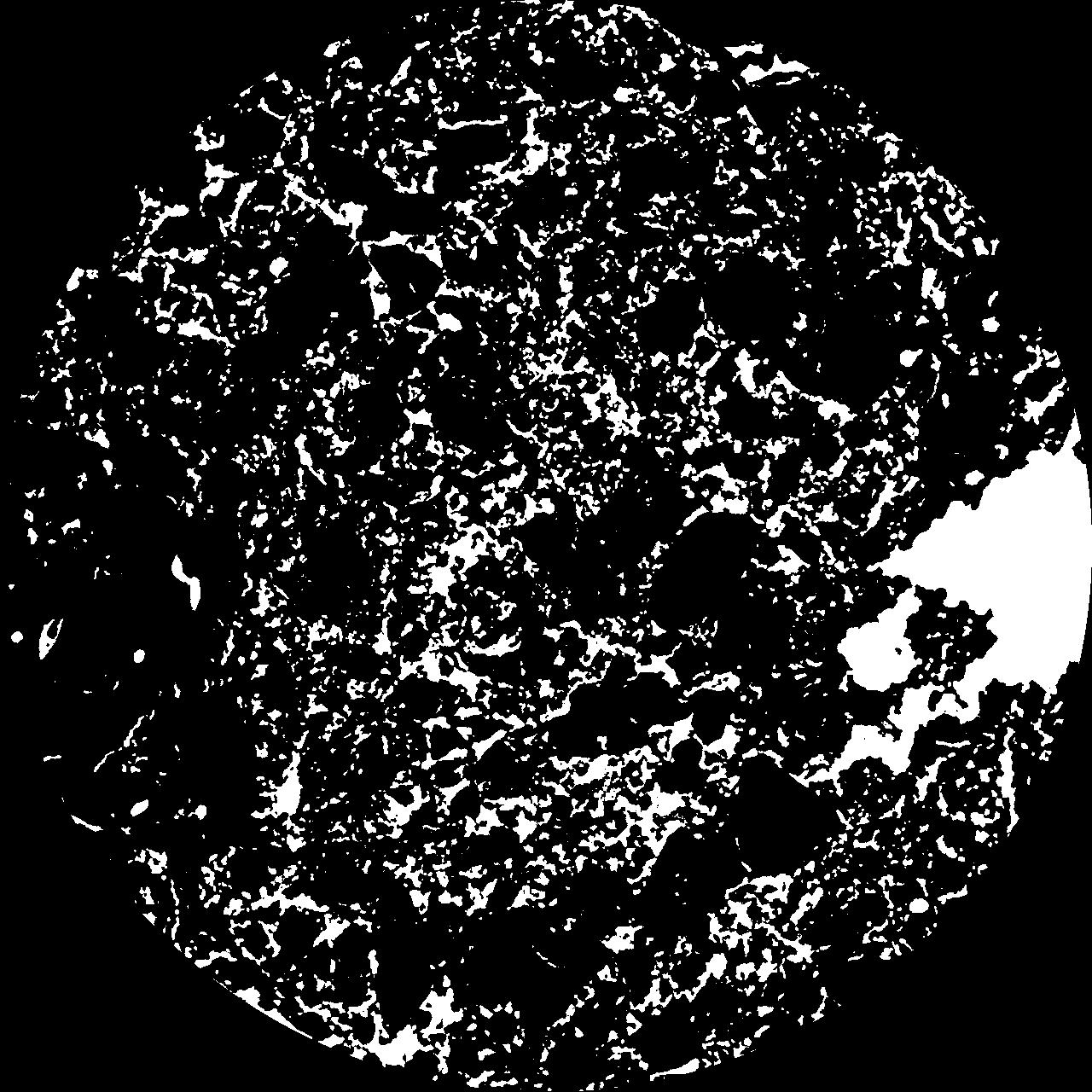
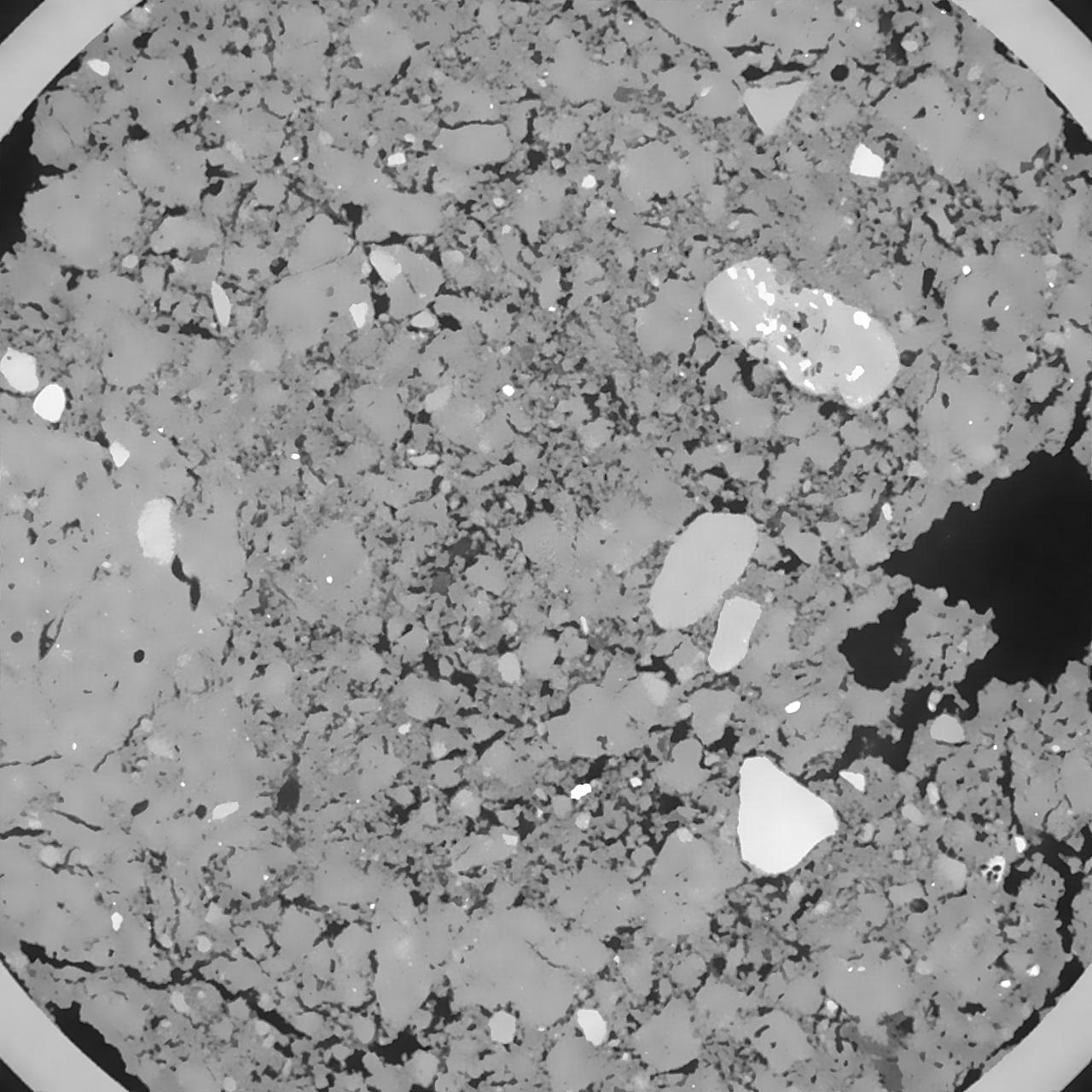
General Information
Internal Identifier SS_A27
| Soil Type | Haplic Chernozem |
|---|
| Classification | WRB |
|---|
|
| Location | "FlurwegIISystems" Bernburg, Germany |
|---|
| Latitude | 51.832 |
|---|
| Longitude | 11.705 |
|---|
|
| Landuse | Cropland |
|---|
| Tillage | tillage |
|---|
| Crop | winter wheat, potato, spring barley, winter wheat, alfalfa, alfalfa, spring oat, winter rye |
|---|
|
| Sampling Depth | 12.0 |
|---|
| Sample Height | 6.0 |
|---|
| Sampling Date | April 2, 2019 |
|---|
| Voxel size | 0.04 |
|---|
| Pores white? | True |
|---|
|
| XY Plane |

|
|---|
|
| XY Plane Grey |

|
|---|
|
| Texture | silt loam |
|---|
| Sand | 8.0 |
|---|
| Silt | 70.0 |
|---|
| Clay | 22.0 |
|---|
|
|
Results
| Porosity | Surface | Mean Curvature | Euler | MeanPoreSize | Gamma | PoreDist |
| 0.154308694 | 1.983187846 | 1.122730575 | 0.473828442 | 0.443495390772 | 0.885222650849 | 0.263022883 |
| Opening size | Volume | Surface | MeanCurvature | Euler number |
|---|
| 0.08 | 0.154308694 | 1.983187846 | 1.122730575 | 0.473828442 |
| 0.1 | 0.15010843 | 1.784737195 | 0.86794915 | -0.530035662 |
| 0.12 | 0.146651988 | 1.688004899 | 0.766267471 | -0.629091021 |
| 0.14 | 0.142910191 | 1.601044588 | 0.701981255 | -0.434336465 |
| 0.16 | 0.140606587 | 1.552655576 | 0.693319179 | -0.065794867 |
| 0.18 | 0.124755476 | 1.269288763 | 0.525970317 | 0.031664979 |
| 0.2 | 0.116312684 | 1.139416814 | 0.467897663 | 0.158888303 |
| 0.24 | 0.104469225 | 0.959753244 | 0.391839444 | 0.257878093 |
| 0.28 | 0.081829195 | 0.664684976 | 0.253057032 | 0.214624397 |
| 0.32 | 0.068978653 | 0.516051707 | 0.188448239 | 0.168862079 |
| 0.36 | 0.052995668 | 0.34839117 | 0.115216059 | 0.114099806 |
| 0.4 | 0.046213927 | 0.283463341 | 0.089636714 | 0.081257013 |
| 0.44 | 0.035653567 | 0.191639884 | 0.054475835 | 0.05254264 |
| 0.48 | 0.031093428 | 0.153348256 | 0.040746275 | 0.03371219 |
| 0.52 | 0.025741122 | 0.113552871 | 0.027327296 | 0.022181756 |
| 0.56 | 0.023584693 | 0.097675687 | 0.022355858 | 0.016066838 |
| 0.6 | 0.019986593 | 0.074153671 | 0.015200289 | 0.010568754 |
| 0.8 | 0.012445681 | 0.031938873 | 0.004462329 | 0.002664045 |
| 1.0 | 0.009206683 | 0.018433843 | 0.001842086 | 0.000726116 |
| 1.2 | 0.007317313 | 0.012630139 | 0.001129511 | 0.000444412 |
| 1.4 | 0.006042969 | 0.009143943 | 0.000703345 | 0.00027199 |
| 1.8 | 0.004436651 | 0.005336222 | 0.000292808 | 0.000067998 |
| 2.2 | 0.003634524 | 0.004107938 | 0.000221351 | 0.000029142 |
| 2.6 | 0.002967037 | 0.003033843 | 0.000146377 | 0.000029142 |
| 3.0 | 0.002576454 | 0.002628673 | 0.000134548 | 0.000019428 |
| 3.4 | 0.00199726 | 0.001775238 | 0.000069166 | 0.000004857 |
| 3.8 | 0.001824894 | 0.001645028 | 0.000066334 | 0.000004857 |
| 4.2 | 0.001607226 | 0.001496295 | 0.000063392 | 0.000004857 |
| 4.6 | 0.001066823 | 0.001061026 | 0.000050379 | 0.000004857 |
| 5.0 | 0.000635834 | 0.000764491 | 0.000048644 | 0.000009714 |
Reference: An open Soil Structure Library based on X-ray CT data


