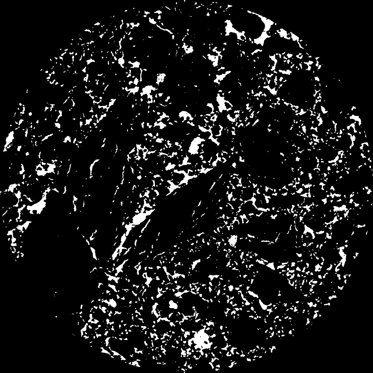
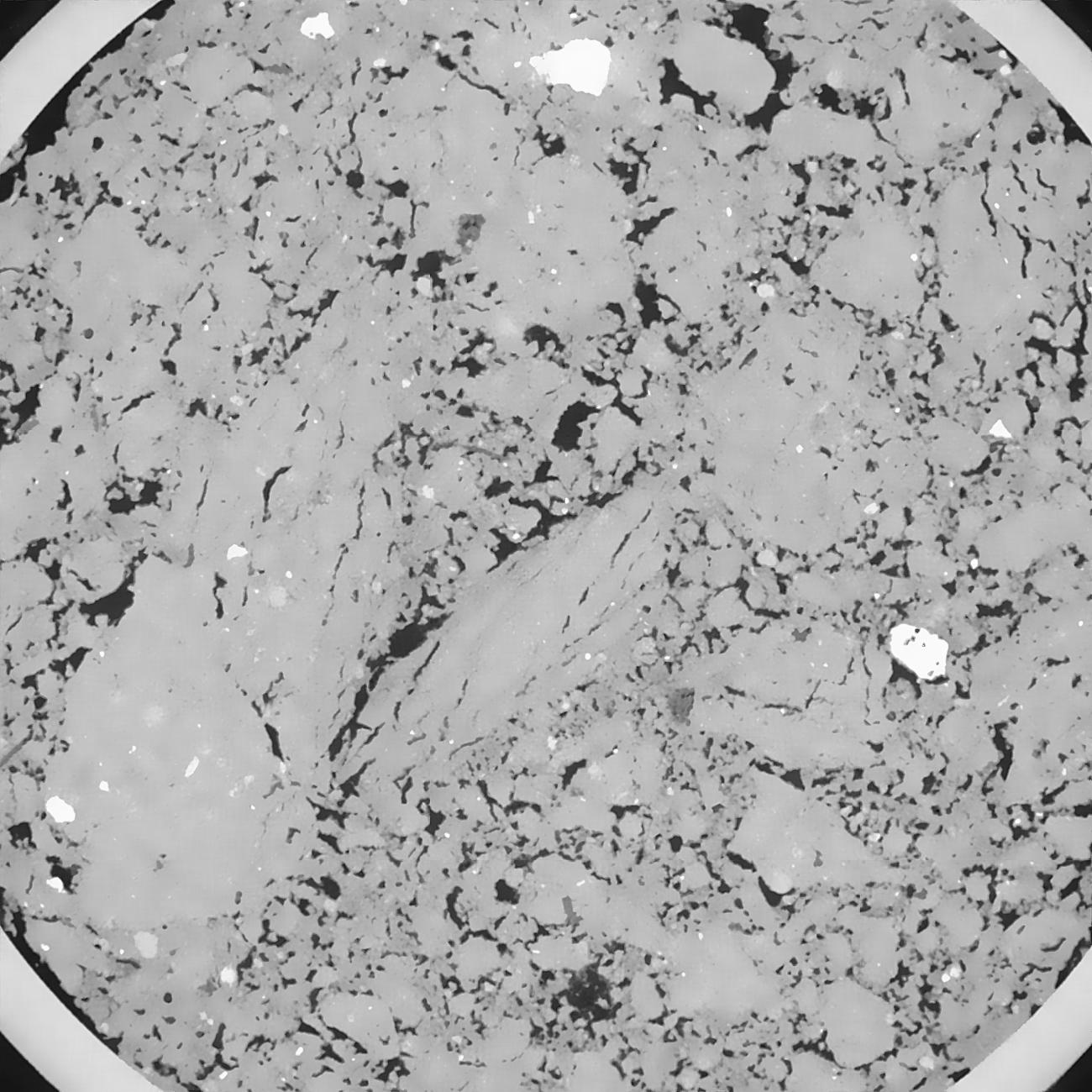
General Information
Internal Identifier SS_A86
| Soil Type | Haplic Chernozem |
|---|
| Classification | WRB |
|---|
|
| Location | "FlurwegIISystems" Bernburg, Germany |
|---|
| Latitude | 51.832 |
|---|
| Longitude | 11.705 |
|---|
|
| Landuse | Cropland |
|---|
| Tillage | tillage |
|---|
| Crop | winter wheat, potato, spring barley, winterwheat, faba Bean, spring oat, winter rye, pea |
|---|
|
| Sampling Depth | 32.0 |
|---|
| Sample Height | 6.0 |
|---|
| Sampling Date | April 2, 2019 |
|---|
| Voxel size | 0.04 |
|---|
| Pores white? | True |
|---|
|
| XY Plane |

|
|---|
|
| XY Plane Grey |

|
|---|
|
| Texture | silt loam |
|---|
| Sand | 8.0 |
|---|
| Silt | 70.0 |
|---|
| Clay | 22.0 |
|---|
|
|
Results
| Porosity | Surface | Mean Curvature | Euler | MeanPoreSize | Gamma | PoreDist |
| 0.098124482 | 1.401410186 | 1.041202482 | 2.747840926 | 0.452348649251 | 0.664531323754 | 0.246332712 |
| Opening size | Volume | Surface | MeanCurvature | Euler number |
|---|
| 0.08 | 0.098124482 | 1.401410186 | 1.041202482 | 2.747840926 |
| 0.1 | 0.0941307 | 1.222863238 | 0.754125781 | 0.825751076 |
| 0.12 | 0.090821781 | 1.123581043 | 0.624607174 | 0.413020346 |
| 0.14 | 0.087591529 | 1.043993485 | 0.548929103 | 0.366069867 |
| 0.16 | 0.085916726 | 1.007861936 | 0.536222048 | 0.540577479 |
| 0.18 | 0.074983791 | 0.798395593 | 0.375023576 | 0.308431625 |
| 0.2 | 0.069459103 | 0.708607166 | 0.322823546 | 0.300495214 |
| 0.24 | 0.062242065 | 0.595588444 | 0.265423869 | 0.268137641 |
| 0.28 | 0.048709905 | 0.412778477 | 0.167135524 | 0.171653494 |
| 0.32 | 0.041166566 | 0.323150811 | 0.124548899 | 0.124679659 |
| 0.36 | 0.031803161 | 0.223665725 | 0.079232249 | 0.084385674 |
| 0.4 | 0.027567262 | 0.18217114 | 0.06199859 | 0.060039251 |
| 0.44 | 0.021086091 | 0.125065973 | 0.039429274 | 0.041321654 |
| 0.48 | 0.018177767 | 0.099947857 | 0.02999849 | 0.027429431 |
| 0.52 | 0.014778115 | 0.074044806 | 0.020791992 | 0.018890433 |
| 0.56 | 0.01333134 | 0.062965037 | 0.017043087 | 0.013644647 |
| 0.6 | 0.010904701 | 0.046368815 | 0.011629041 | 0.008842628 |
| 0.8 | 0.005727802 | 0.015333408 | 0.002895287 | 0.001919873 |
| 1.0 | 0.003997367 | 0.007029359 | 0.000943854 | 0.000583903 |
| 1.2 | 0.003227732 | 0.003964262 | 0.000339756 | 0.000196191 |
| 1.4 | 0.002879618 | 0.002861828 | 0.000169688 | 0.000084082 |
| 1.8 | 0.002633108 | 0.002217873 | 0.000083637 | 0.00003737 |
| 2.2 | 0.002511017 | 0.002009576 | 0.0000684 | 0.000023356 |
| 2.6 | 0.002425235 | 0.001906181 | 0.00006532 | 0.000004671 |
| 3.0 | 0.002328155 | 0.001797907 | 0.000061349 | 0.000023356 |
| 3.4 | 0.002257531 | 0.001732964 | 0.000059464 | 0.000004671 |
| 3.8 | 0.002154964 | 0.001641935 | 0.000057935 | 0.000004671 |
| 4.2 | 0.002068464 | 0.001576695 | 0.000056177 | 0.000014014 |
| 4.6 | 0.001990464 | 0.001525901 | 0.000054723 | 0.000004671 |
| 5.0 | 0.001867083 | 0.001451967 | 0.000053252 | 0.000004671 |
| 5.4 | 0.001648194 | 0.001324884 | 0.000050706 | 0.000004671 |
| 5.8 | 0.000804968 | 0.000716546 | 0.000033093 | 0.000004671 |
Reference: An open Soil Structure Library based on X-ray CT data


