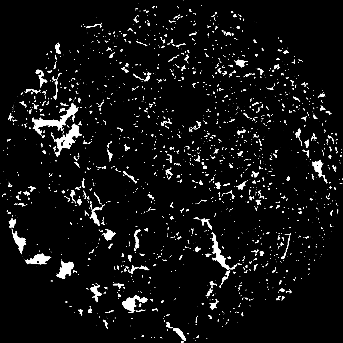
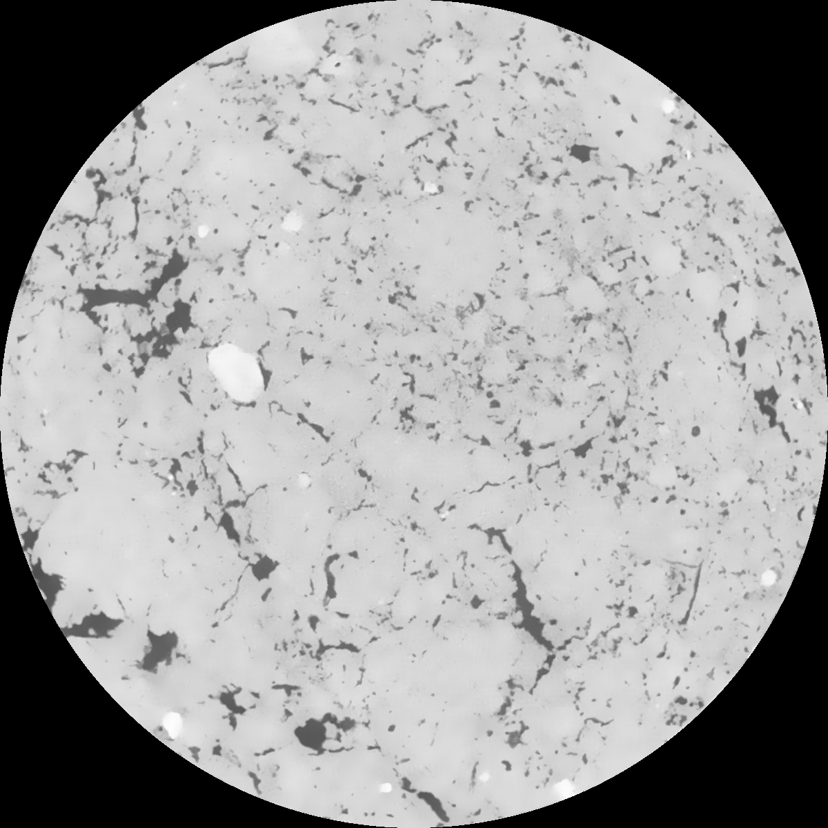
General Information
Internal Identifier Ad_1_B_1_o
| Soil Type | Haplic Luvisol |
|---|
| Classification | WRB |
|---|
|
| Location | Adenstedt |
|---|
| Latitude | 52.00772222 |
|---|
| Longitude | 9.939417 |
|---|
|
| Landuse | Cropland |
|---|
| Tillage | tillage |
|---|
| Crop | winter wheat, sugarbeets, winter wheat, silage mais |
|---|
|
| Sampling Depth | 15.0 |
|---|
| Sampling Date | March 24, 2021 |
|---|
| Voxel size | 0.06 |
|---|
| Pores white? | True |
|---|
|
| XY Plane |

|
|---|
|
| XY Plane Grey |

|
|---|
|
| Texture | clayey silt |
|---|
| Sand | 8.3 |
|---|
| Silt | 71.9 |
|---|
| Clay | 19.8 |
|---|
|
|
Results
| Porosity | Surface | Mean Curvature | Euler | MeanPoreSize | Gamma | PoreDist |
| 0.055139353 | 0.530001357 | 0.294287749 | 0.463879779 | 0.638266184347 | 0.603056562376 | 0.518102743 |
| Opening size | Volume | Surface | MeanCurvature | Euler number |
|---|
| 0.12 | 0.055139353 | 0.530001357 | 0.294287749 | 0.463879779 |
| 0.15 | 0.052791299 | 0.467966704 | 0.221390141 | 0.2005831 |
| 0.18 | 0.050994207 | 0.429979 | 0.185030639 | 0.127135698 |
| 0.21 | 0.049127084 | 0.3973917 | 0.161369201 | 0.110197311 |
| 0.24 | 0.048154925 | 0.382945266 | 0.156701729 | 0.139983304 |
| 0.27 | 0.041588889 | 0.292845265 | 0.102904383 | 0.078509743 |
| 0.3 | 0.038609841 | 0.258195705 | 0.086894567 | 0.071270341 |
| 0.36 | 0.034220315 | 0.210058605 | 0.067161142 | 0.05695261 |
| 0.42 | 0.027024936 | 0.141124665 | 0.038418353 | 0.029888263 |
| 0.48 | 0.023231509 | 0.109675795 | 0.027263629 | 0.019951502 |
| 0.54 | 0.018612009 | 0.075773727 | 0.016025995 | 0.011319956 |
| 0.6 | 0.016702123 | 0.063022828 | 0.012294494 | 0.007552603 |
| 0.66 | 0.013917583 | 0.046855353 | 0.007999586 | 0.004935782 |
| 0.72 | 0.012619617 | 0.039588754 | 0.006256615 | 0.003092374 |
| 0.78 | 0.011077223 | 0.032141549 | 0.004621219 | 0.002255043 |
| 0.84 | 0.01042227 | 0.028992069 | 0.003995348 | 0.001604353 |
| 0.9 | 0.009299857 | 0.024387607 | 0.003137001 | 0.001169707 |
| 1.2 | 0.006154897 | 0.013345371 | 0.00146139 | 0.000531801 |
| 1.5 | 0.004076048 | 0.007400081 | 0.000697141 | 0.000239055 |
| 1.8 | 0.002955575 | 0.004719011 | 0.000400897 | 0.00010994 |
| 2.1 | 0.002148719 | 0.002930832 | 0.000206061 | 0.000058805 |
| 2.7 | 0.001386436 | 0.00161951 | 0.000096968 | 0.000030681 |
| 3.3 | 0.000983166 | 0.001022243 | 0.000052411 | 0.000012784 |
| 3.9 | 0.000754592 | 0.000822438 | 0.000045948 | 0.00000767 |
| 4.5 | 0.000482273 | 0.000588342 | 0.000038066 | 0.00000767 |
| 5.1 | 0.0 | 0.0 | 0.0 | 0.0 |
| 5.7 | 0.0 | 0.0 | 0.0 | 0.0 |
| 6.3 | 0.0 | 0.0 | 0.0 | 0.0 |
| 6.9 | 0.0 | 0.0 | 0.0 | 0.0 |
| 7.5 | 0.0 | 0.0 | 0.0 | 0.0 |
| 8.1 | 0.0 | 0.0 | 0.0 | 0.0 |
| 8.7 | 0.0 | 0.0 | 0.0 | 0.0 |
| 9.3 | 0.0 | 0.0 | 0.0 | 0.0 |
| 9.9 | 0.0 | 0.0 | 0.0 | 0.0 |
Reference: An open Soil Structure Library based on X-ray CT data


