General Information
|
|
|||||||||||||||
|
|
|||||||||||||||
|
|
Results
| Porosity | Surface | Mean Curvature | Euler | MeanPoreSize | Gamma | PoreDist |
|---|---|---|---|---|---|---|
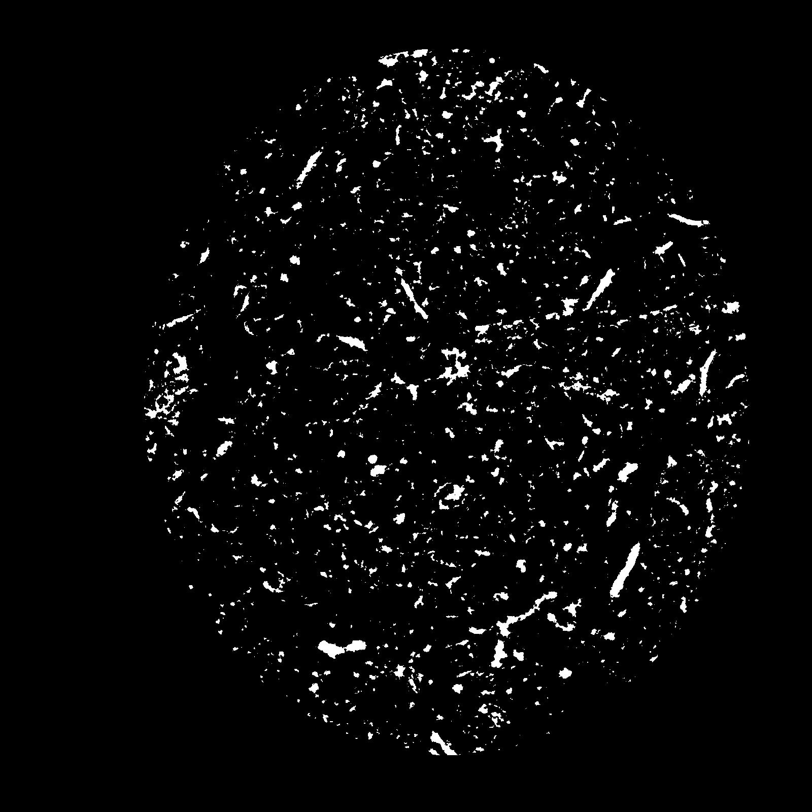
| 0.06457 | 0.6975 | 0.401388889 | 0.989351852 | 0.0 | 0.5903 | 0.402645943 |
| Opening size | Volume | Surface | MeanCurvature | Euler number |
|---|---|---|---|---|
| 0.12 | 0.06457 | 0.6975 | 0.401388889 | 0.989351852 |
| 0.15 | 0.0607 | 0.5845 | 0.261 | 0.217777778 |
| 0.18 | 0.05794 | 0.5285 | 0.212472222 | 0.121944444 |
| 0.21 | 0.05568 | 0.4905 | 0.188277778 | 0.113703704 |
| 0.24 | 0.05441 | 0.472 | 0.183055556 | 0.145324074 |
| 0.27 | 0.04679 | 0.371166667 | 0.128416667 | 0.084768519 |
| 0.3 | 0.04323 | 0.331666667 | 0.112333333 | 0.078935185 |
| 0.36 | 0.0381 | 0.277 | 0.092388889 | 0.068009259 |
| 0.42 | 0.02814 | 0.183666667 | 0.056861111 | 0.044348611 |
| 0.48 | 0.02235 | 0.13555 | 0.04025 | 0.031557407 |
| 0.54 | 0.01536 | 0.08255 | 0.022252778 | 0.018766204 |
| 0.6000000000000001 | 0.0126 | 0.063283333 | 0.016308333 | 0.0126375 |
| 0.6599999999999999 | 0.00865 | 0.038133333 | 0.008794444 | 0.007132407 |
| 0.72 | 0.007087 | 0.028533333 | 0.006102778 | 0.00423963 |
| 0.78 | 0.005463 | 0.019616667 | 0.003713889 | 0.002522083 |
| 0.8400000000000001 | 0.004904 | 0.016661667 | 0.003013889 | 0.001762731 |
| 0.8999999999999999 | 0.003965 | 0.01219 | 0.00196775 | 0.001111898 |
| 1.2 | 0.002315 | 0.005441667 | 0.000625917 | 0.000262153 |
| 1.5 | 0.001566 | 0.00324 | 0.000319472 | 0.000108477 |
| 1.8 | 0.001084 | 0.002048333 | 0.000176275 | 0.000036159 |
| 2.1 | 0.0007197 | 0.001388833 | 0.000132883 | 0.000036159 |
| 2.7 | 0.00003365 | 0.00006873 | 0.000007593 | 0.000002527 |


