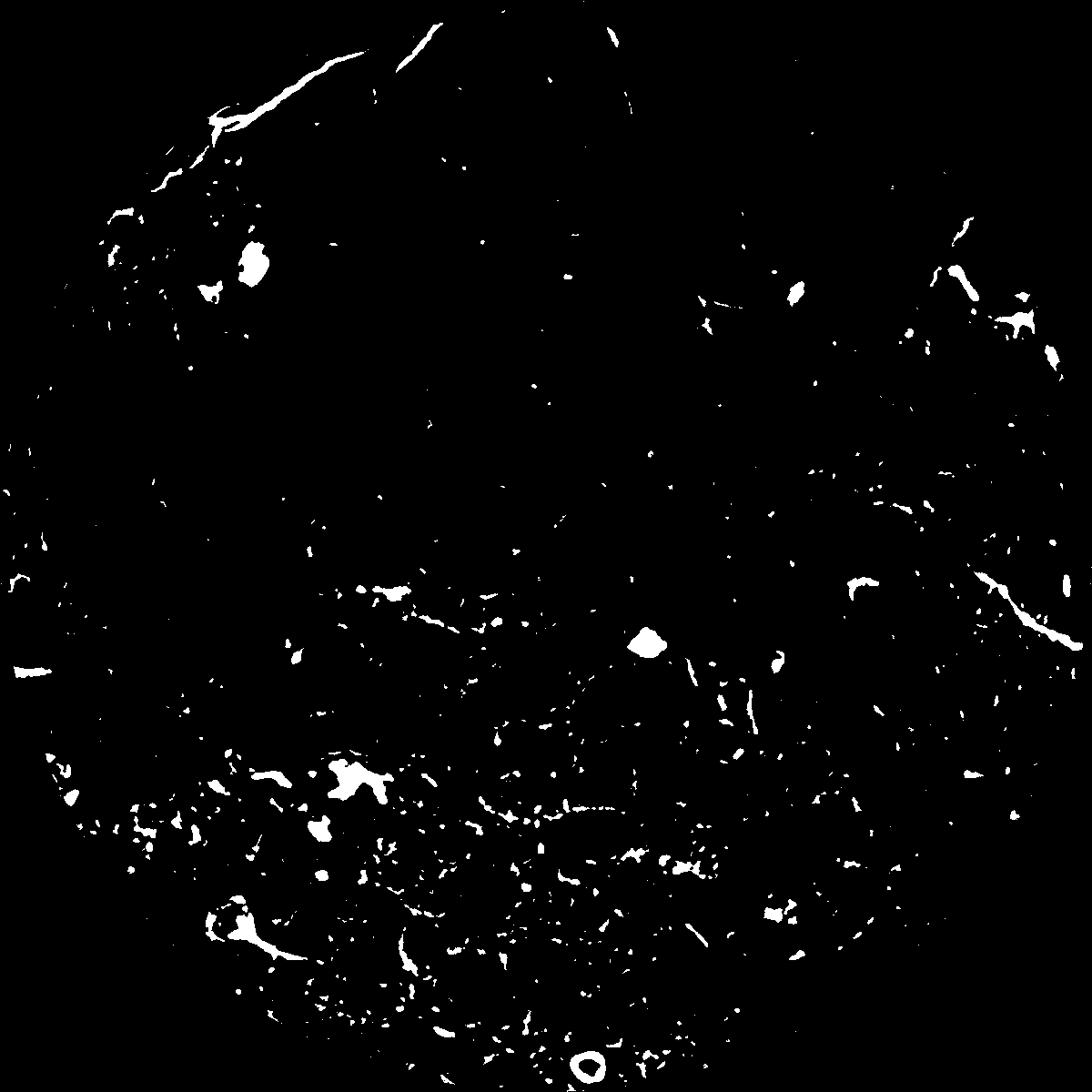
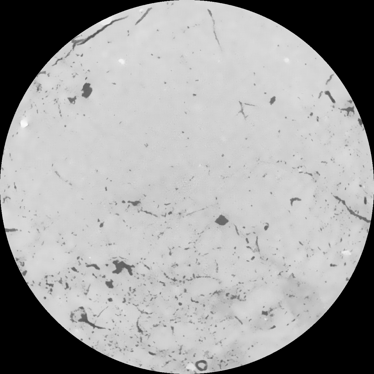
General Information
Internal Identifier Ad_1_B_2_o
| Soil Type | Haplic Luvisol |
|---|
| Classification | WRB |
|---|
|
| Location | Adenstedt |
|---|
| Latitude | 52.00772222 |
|---|
| Longitude | 9.939417 |
|---|
|
| Landuse | Cropland |
|---|
| Tillage | tillage |
|---|
| Crop | winter wheat, sugarbeets, winter wheat, silage mais |
|---|
|
| Sampling Depth | 15.0 |
|---|
| Sampling Date | March 24, 2021 |
|---|
| Voxel size | 0.06 |
|---|
| Pores white? | True |
|---|
|
| XY Plane |

|
|---|
|
| XY Plane Grey |

|
|---|
|
| Texture | clayey silt |
|---|
| Sand | 8.3 |
|---|
| Silt | 71.9 |
|---|
| Clay | 19.8 |
|---|
|
|
Results
| Porosity | Surface | Mean Curvature | Euler | MeanPoreSize | Gamma | PoreDist |
| 0.043551469 | 0.367593361 | 0.209687113 | 0.388941799 | 1.37973005032 | 0.603846847449 | 0.666283482 |
| Opening size | Volume | Surface | MeanCurvature | Euler number |
|---|
| 0.12 | 0.043551469 | 0.367593361 | 0.209687113 | 0.388941799 |
| 0.15 | 0.041742724 | 0.319089027 | 0.150284342 | 0.160602115 |
| 0.18 | 0.040322519 | 0.289304074 | 0.122265486 | 0.100762949 |
| 0.21 | 0.038958466 | 0.265626531 | 0.105236335 | 0.085547803 |
| 0.24 | 0.038274561 | 0.255460937 | 0.101780558 | 0.102830071 |
| 0.27 | 0.033915603 | 0.195856534 | 0.065950067 | 0.0550325 |
| 0.3 | 0.031974523 | 0.173405682 | 0.055553619 | 0.048298053 |
| 0.36 | 0.029198128 | 0.143107759 | 0.043141995 | 0.037517568 |
| 0.42 | 0.024610108 | 0.099801899 | 0.025360353 | 0.019580775 |
| 0.48 | 0.022151803 | 0.079797201 | 0.01850036 | 0.013522585 |
| 0.54 | 0.019058181 | 0.057407424 | 0.011192128 | 0.00782106 |
| 0.6 | 0.017722422 | 0.048670421 | 0.008739583 | 0.005505935 |
| 0.66 | 0.015763032 | 0.037497463 | 0.005825107 | 0.003787807 |
| 0.72 | 0.014820166 | 0.032237158 | 0.004578009 | 0.002469809 |
| 0.78 | 0.013708699 | 0.026950712 | 0.003442045 | 0.001803778 |
| 0.84 | 0.013204179 | 0.024513136 | 0.002950535 | 0.001335895 |
| 0.9 | 0.012310589 | 0.020802768 | 0.002232817 | 0.000952385 |
| 1.2 | 0.010184216 | 0.013104814 | 0.000966026 | 0.000334933 |
| 1.5 | 0.008931167 | 0.009796196 | 0.000577713 | 0.00017258 |
| 1.8 | 0.008002518 | 0.007932136 | 0.000418826 | 0.000112496 |
| 2.1 | 0.00716755 | 0.006575939 | 0.000339245 | 0.000107383 |
| 2.7 | 0.005605533 | 0.004164939 | 0.000181096 | 0.000039629 |
| 3.3 | 0.004896058 | 0.003264789 | 0.000124113 | 0.000039629 |
| 3.9 | 0.004195357 | 0.002467593 | 0.000073496 | 0.000020454 |
| 4.5 | 0.003581294 | 0.001973389 | 0.000058255 | 0.000014062 |
| 5.1 | 0.003184857 | 0.001585268 | 0.000037515 | 0.000002557 |
| 5.7 | 0.003091372 | 0.001538883 | 0.000037028 | 0.000005113 |
| 6.3 | 0.002996818 | 0.001495392 | 0.000036781 | 0.000005113 |
| 6.9 | 0.002887093 | 0.001448176 | 0.000035966 | 0.000002557 |
| 7.5 | 0.002717765 | 0.001380301 | 0.000035099 | 0.000002557 |
| 8.1 | 0.002294731 | 0.001198941 | 0.000032039 | 0.000002557 |
| 8.7 | 0.001977205 | 0.001066875 | 0.000029797 | 0.000002557 |
| 9.3 | 0.001608224 | 0.000918514 | 0.000027522 | 0.000002557 |
| 9.9 | 0.0 | 0.0 | 0.0 | 0.0 |
Reference: An open Soil Structure Library based on X-ray CT data


