General Information
Internal Identifier Ad_1_B_3_o
| Soil Type | Haplic Luvisol |
|---|
| Classification | WRB |
|---|
|
| Location | Adenstedt |
|---|
| Latitude | 52.00772222 |
|---|
| Longitude | 9.939417 |
|---|
|
| Landuse | Cropland |
|---|
| Tillage | tillage |
|---|
| Crop | winter wheat, sugarbeets, winter wheat, silage mais |
|---|
|
| Sampling Depth | 15.0 |
|---|
| Sampling Date | March 24, 2021 |
|---|
| Voxel size | 0.06 |
|---|
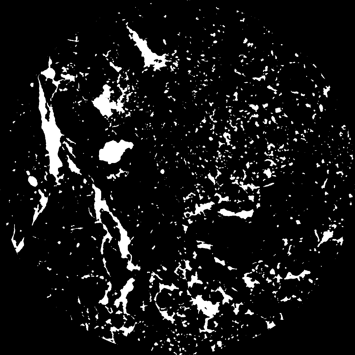
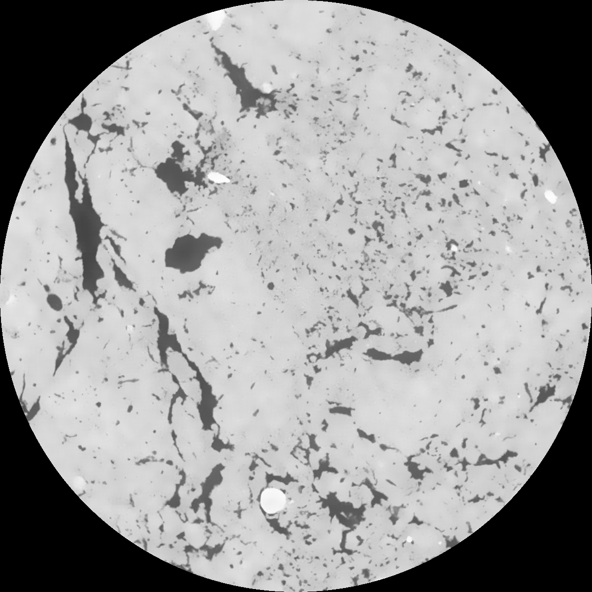
| Pores white? | True |
|---|
|
| XY Plane |

|
|---|
|
| XY Plane Grey |

|
|---|
|
| Texture | clayey silt |
|---|
| Sand | 8.3 |
|---|
| Silt | 71.9 |
|---|
| Clay | 19.8 |
|---|
|
|
Results
| Porosity | Surface | Mean Curvature | Euler | MeanPoreSize | Gamma | PoreDist |
| 0.067702729 | 0.527578716 | 0.2441997 | 0.351431261 | 0.733035667363 | 0.756312520815 | 0.555582078 |
| Opening size | Volume | Surface | MeanCurvature | Euler number |
|---|
| 0.12 | 0.067702729 | 0.527578716 | 0.2441997 | 0.351431261 |
| 0.15 | 0.065699588 | 0.474493616 | 0.183969152 | 0.139504555 |
| 0.18 | 0.064142193 | 0.442505191 | 0.155284562 | 0.084160133 |
| 0.21 | 0.062550051 | 0.415473436 | 0.136907866 | 0.073191729 |
| 0.24 | 0.061711793 | 0.40319943 | 0.133241584 | 0.096141006 |
| 0.27 | 0.056174697 | 0.330773958 | 0.093588274 | 0.052907851 |
| 0.3 | 0.053547986 | 0.301756506 | 0.081620869 | 0.049465203 |
| 0.36 | 0.049600292 | 0.2604366 | 0.066770961 | 0.041576389 |
| 0.42 | 0.042511844 | 0.197705631 | 0.044592729 | 0.026106848 |
| 0.48 | 0.038284163 | 0.165063985 | 0.034726766 | 0.019281637 |
| 0.54 | 0.032541206 | 0.126272539 | 0.023791571 | 0.013980242 |
| 0.6 | 0.029777486 | 0.10901974 | 0.019476715 | 0.010243569 |
| 0.66 | 0.025462494 | 0.085409806 | 0.01392054 | 0.007878587 |
| 0.72 | 0.023328615 | 0.073857173 | 0.011359856 | 0.00533719 |
| 0.78 | 0.020580316 | 0.061118025 | 0.008783108 | 0.004129131 |
| 0.84 | 0.019316054 | 0.055143669 | 0.007635957 | 0.003070642 |
| 0.9 | 0.017051554 | 0.045732622 | 0.005846023 | 0.002202629 |
| 1.2 | 0.011056673 | 0.024583999 | 0.002594235 | 0.000921704 |
| 1.5 | 0.007414686 | 0.014346759 | 0.001279542 | 0.000364335 |
| 1.8 | 0.005097993 | 0.009111881 | 0.000754182 | 0.000181528 |
| 2.1 | 0.003303564 | 0.005614256 | 0.000440901 | 0.000100991 |
| 2.7 | 0.000867598 | 0.001374775 | 0.000105204 | 0.000023011 |
| 3.3 | 0.0 | 0.0 | 0.0 | 0.0 |
| 3.9 | 0.0 | 0.0 | 0.0 | 0.0 |
| 4.5 | 0.0 | 0.0 | 0.0 | 0.0 |
| 5.1 | 0.0 | 0.0 | 0.0 | 0.0 |
| 5.7 | 0.0 | 0.0 | 0.0 | 0.0 |
| 6.3 | 0.0 | 0.0 | 0.0 | 0.0 |
| 6.9 | 0.0 | 0.0 | 0.0 | 0.0 |
| 7.5 | 0.0 | 0.0 | 0.0 | 0.0 |
| 8.1 | 0.0 | 0.0 | 0.0 | 0.0 |
| 8.7 | 0.0 | 0.0 | 0.0 | 0.0 |
| 9.3 | 0.0 | 0.0 | 0.0 | 0.0 |
| 9.9 | 0.0 | 0.0 | 0.0 | 0.0 |
Reference: An open Soil Structure Library based on X-ray CT data


