General Information
Internal Identifier Ad_1_A_1_u
| Soil Type | Haplic Luvisol |
|---|
| Classification | WRB |
|---|
|
| Location | Adenstedt |
|---|
| Latitude | 52.00772222 |
|---|
| Longitude | 9.939417 |
|---|
|
| Landuse | Cropland |
|---|
| Tillage | tillage |
|---|
| Crop | winter wheat, sugarbeets, winter wheat, silage mais |
|---|
|
| Sampling Depth | 10.0 |
|---|
| Sampling Date | March 24, 2021 |
|---|
| Voxel size | 0.06 |
|---|
| Pores white? | True |
|---|
|
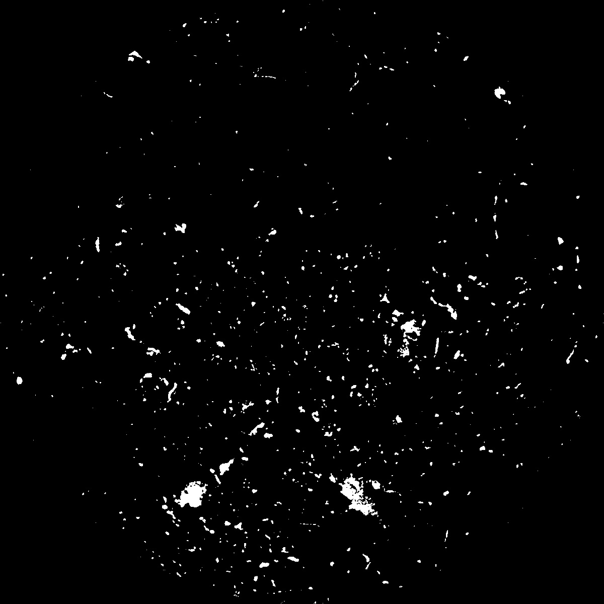
| XY Plane |

|
|---|
|
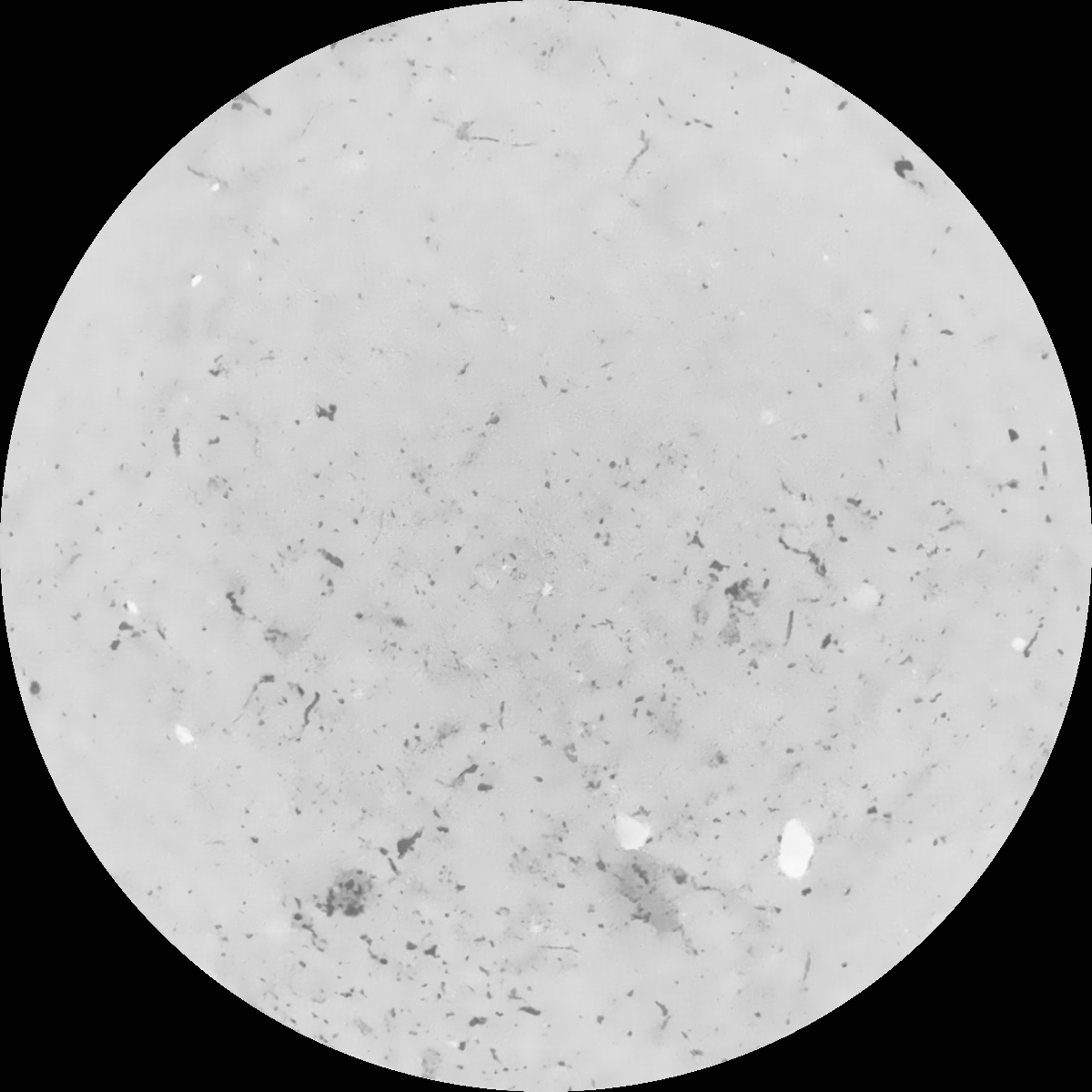
| XY Plane Grey |

|
|---|
|
| Texture | clayey silt |
|---|
| Sand | 8.3 |
|---|
| Silt | 71.9 |
|---|
| Clay | 19.8 |
|---|
|
|
Results
| Porosity | Surface | Mean Curvature | Euler | MeanPoreSize | Gamma | PoreDist |
| 0.02649334 | 0.292456641 | 0.20374735 | 0.452040447 | 0.744513804099 | 0.291003118353 | 0.648255567 |
| Opening size | Volume | Surface | MeanCurvature | Euler number |
|---|
| 0.12 | 0.02649334 | 0.292456641 | 0.20374735 | 0.452040447 |
| 0.15 | 0.024771612 | 0.245446714 | 0.142476105 | 0.194715225 |
| 0.18 | 0.023551475 | 0.21843785 | 0.113878757 | 0.125672669 |
| 0.21 | 0.022321517 | 0.195888426 | 0.095486164 | 0.102814994 |
| 0.24 | 0.021724172 | 0.186756638 | 0.091920262 | 0.119731311 |
| 0.27 | 0.01776679 | 0.128408832 | 0.051759835 | 0.055709113 |
| 0.3 | 0.016207893 | 0.109176135 | 0.041520135 | 0.046194512 |
| 0.36 | 0.014083962 | 0.084680432 | 0.029988525 | 0.032580555 |
| 0.42 | 0.010900088 | 0.052468064 | 0.014939538 | 0.01413044 |
| 0.48 | 0.009399517 | 0.039462005 | 0.009807002 | 0.008263725 |
| 0.54 | 0.007743161 | 0.027041413 | 0.005433983 | 0.004087317 |
| 0.6 | 0.007089504 | 0.022651887 | 0.004112127 | 0.002595657 |
| 0.66 | 0.006142234 | 0.017272481 | 0.002732078 | 0.001727629 |
| 0.72 | 0.005710608 | 0.014880265 | 0.002167038 | 0.001153358 |
| 0.78 | 0.005192326 | 0.012413653 | 0.001628344 | 0.00083793 |
| 0.84 | 0.004975734 | 0.011419513 | 0.001442821 | 0.000550193 |
| 0.9 | 0.00457378 | 0.009829856 | 0.001175626 | 0.000479161 |
| 1.2 | 0.003408731 | 0.005718444 | 0.000542264 | 0.000197443 |
| 1.5 | 0.002660875 | 0.0036511 | 0.000283498 | 0.000099926 |
| 1.8 | 0.002170176 | 0.002588895 | 0.000184359 | 0.000050565 |
| 2.1 | 0.001721908 | 0.001643054 | 0.000088081 | 0.000028894 |
| 2.7 | 0.001417591 | 0.001089063 | 0.000033587 | 0.000002408 |
| 3.3 | 0.00127658 | 0.000961531 | 0.000031809 | 0.000002408 |
| 3.9 | 0.001180523 | 0.000886055 | 0.00002987 | 0.000002408 |
| 4.5 | 0.001081803 | 0.000817655 | 0.000028817 | 0.000002408 |
| 5.1 | 0.000921782 | 0.000725691 | 0.000027033 | 0.000002408 |
| 5.7 | 0.00048112 | 0.000410592 | 0.000018065 | 0.000002408 |
| 6.3 | 0.0 | 0.0 | 0.0 | 0.0 |
| 6.9 | 0.0 | 0.0 | 0.0 | 0.0 |
| 7.5 | 0.0 | 0.0 | 0.0 | 0.0 |
| 8.1 | 0.0 | 0.0 | 0.0 | 0.0 |
| 8.7 | 0.0 | 0.0 | 0.0 | 0.0 |
| 9.3 | 0.0 | 0.0 | 0.0 | 0.0 |
| 9.9 | 0.0 | 0.0 | 0.0 | 0.0 |
Reference: An open Soil Structure Library based on X-ray CT data


