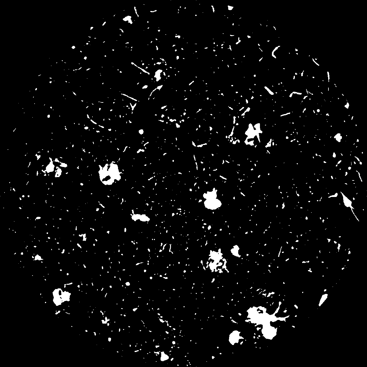
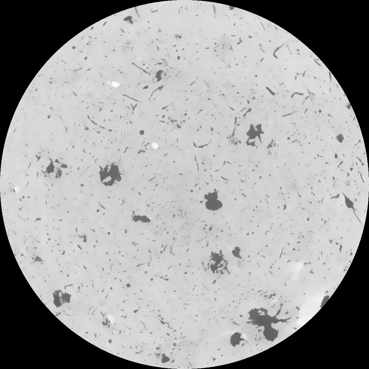
General Information
Internal Identifier Ad_1_B_1_u
| Soil Type | Haplic Luvisol |
|---|
| Classification | WRB |
|---|
|
| Location | Adenstedt |
|---|
| Latitude | 52.00772222 |
|---|
| Longitude | 9.939417 |
|---|
|
| Landuse | Cropland |
|---|
| Tillage | tillage |
|---|
| Crop | winter wheat, sugarbeets, winter wheat, silage mais |
|---|
|
| Sampling Depth | 25.0 |
|---|
| Sampling Date | March 24, 2021 |
|---|
| Voxel size | 0.06 |
|---|
| Pores white? | True |
|---|
|
| XY Plane |

|
|---|
|
| XY Plane Grey |

|
|---|
|
| Texture | clayey silt |
|---|
| Sand | 8.3 |
|---|
| Silt | 71.9 |
|---|
| Clay | 19.8 |
|---|
|
|
Results
| Porosity | Surface | Mean Curvature | Euler | MeanPoreSize | Gamma | PoreDist |
| 0.048072243 | 0.415819724 | 0.298224501 | 0.688823739 | 1.22272160843 | 0.554474388605 | 0.476874675 |
| Opening size | Volume | Surface | MeanCurvature | Euler number |
|---|
| 0.12 | 0.048072243 | 0.415819724 | 0.298224501 | 0.688823739 |
| 0.15 | 0.045387114 | 0.341758317 | 0.19683174 | 0.275128228 |
| 0.18 | 0.043428966 | 0.297097787 | 0.147628871 | 0.162407359 |
| 0.21 | 0.04162233 | 0.263094665 | 0.118742186 | 0.12553482 |
| 0.24 | 0.04083545 | 0.25075162 | 0.11338768 | 0.147898887 |
| 0.27 | 0.036005552 | 0.177221513 | 0.060309185 | 0.058477533 |
| 0.3 | 0.034250422 | 0.155034125 | 0.047995993 | 0.046357643 |
| 0.36 | 0.031895257 | 0.12751512 | 0.034715895 | 0.032016517 |
| 0.42 | 0.028501644 | 0.093379289 | 0.018850219 | 0.012894012 |
| 0.48 | 0.026816217 | 0.079343308 | 0.013809147 | 0.007975988 |
| 0.54 | 0.024710029 | 0.064433511 | 0.009087166 | 0.004686871 |
| 0.6 | 0.023720901 | 0.058121889 | 0.007424089 | 0.002890618 |
| 0.66 | 0.022194928 | 0.049988561 | 0.005556277 | 0.002506567 |
| 0.72 | 0.021427847 | 0.046025272 | 0.004780836 | 0.001377288 |
| 0.78 | 0.020422102 | 0.041861935 | 0.004126672 | 0.001406182 |
| 0.84 | 0.019909523 | 0.039629146 | 0.003792105 | 0.000893311 |
| 0.9 | 0.018943932 | 0.03612696 | 0.003319818 | 0.000917389 |
| 1.2 | 0.015669769 | 0.025657929 | 0.002025535 | 0.000665769 |
| 1.5 | 0.013005877 | 0.01877409 | 0.001307738 | 0.000373216 |
| 1.8 | 0.010920926 | 0.014295072 | 0.000903404 | 0.000191424 |
| 2.1 | 0.008767437 | 0.010342641 | 0.000609537 | 0.000125208 |
| 2.7 | 0.006109533 | 0.006072741 | 0.000294439 | 0.000049361 |
| 3.3 | 0.004706628 | 0.004324242 | 0.00019672 | 0.000026486 |
| 3.9 | 0.003724138 | 0.003319835 | 0.000146808 | 0.000026486 |
| 4.5 | 0.002626907 | 0.002226736 | 0.000095597 | 0.000014447 |
| 5.1 | 0.001683133 | 0.001429796 | 0.000063096 | 0.000010835 |
| 5.7 | 0.000789168 | 0.000645553 | 0.000027646 | 0.000003612 |
| 6.3 | 0.000443056 | 0.00037854 | 0.000017095 | 0.000002408 |
| 6.9 | 0.0 | 0.0 | 0.0 | 0.0 |
| 7.5 | 0.0 | 0.0 | 0.0 | 0.0 |
| 8.1 | 0.0 | 0.0 | 0.0 | 0.0 |
| 8.7 | 0.0 | 0.0 | 0.0 | 0.0 |
| 9.3 | 0.0 | 0.0 | 0.0 | 0.0 |
| 9.9 | 0.0 | 0.0 | 0.0 | 0.0 |
Reference: An open Soil Structure Library based on X-ray CT data


