General Information
Internal Identifier Ad_1_A_3_u
| Soil Type | Haplic Luvisol |
|---|
| Classification | WRB |
|---|
|
| Location | Adenstedt |
|---|
| Latitude | 52.00772222 |
|---|
| Longitude | 9.939417 |
|---|
|
| Landuse | Cropland |
|---|
| Tillage | tillage |
|---|
| Crop | winter wheat, sugarbeets, winter wheat, silage mais |
|---|
|
| Sampling Depth | 10.0 |
|---|
| Sampling Date | March 24, 2021 |
|---|
| Voxel size | 0.06 |
|---|
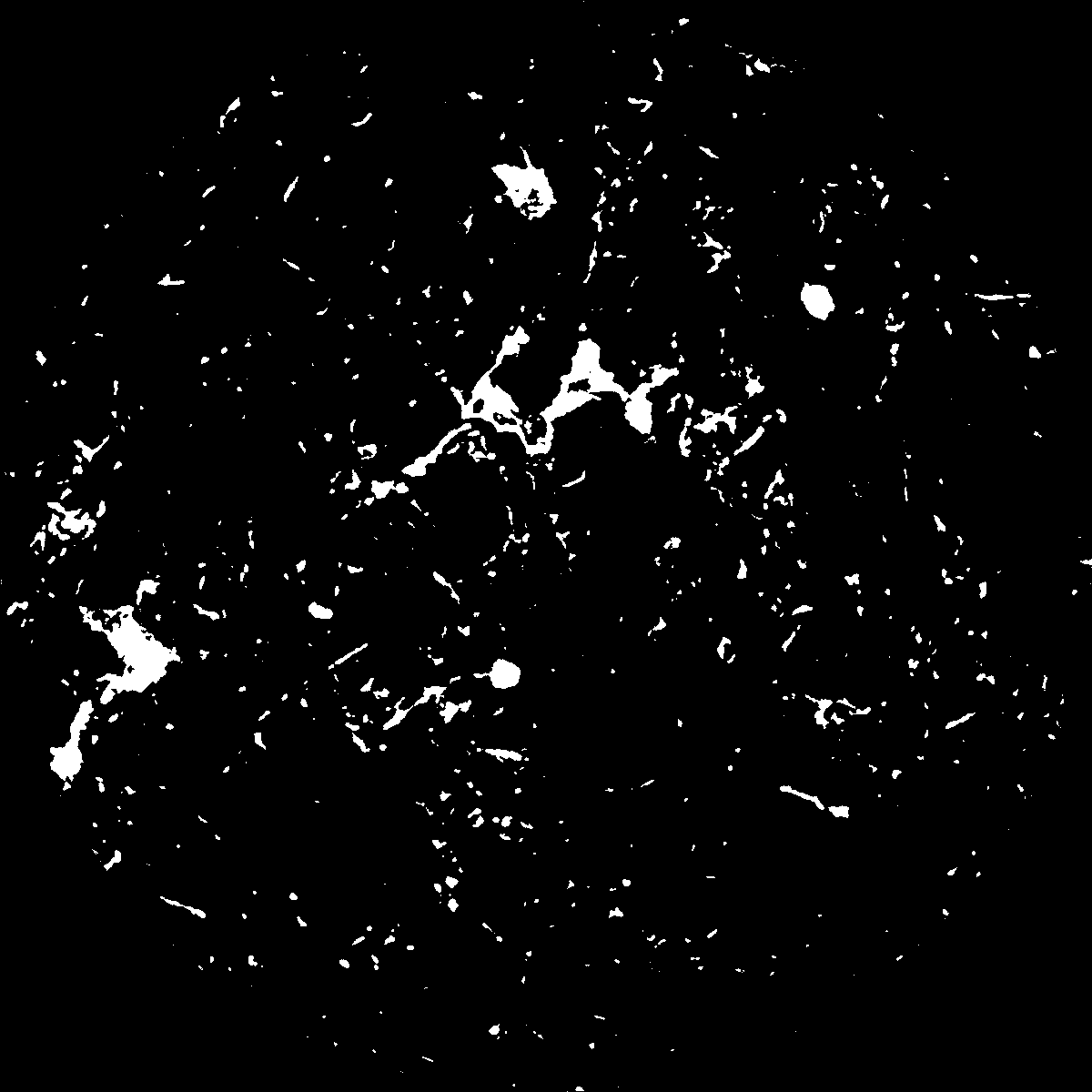
| Pores white? | True |
|---|
|
| XY Plane |

|
|---|
|
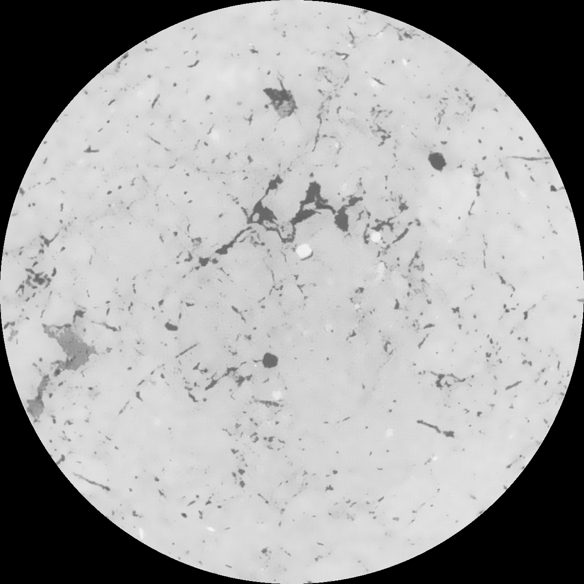
| XY Plane Grey |

|
|---|
|
| Texture | clayey silt |
|---|
| Sand | 8.3 |
|---|
| Silt | 71.9 |
|---|
| Clay | 19.8 |
|---|
|
|
Results
| Porosity | Surface | Mean Curvature | Euler | MeanPoreSize | Gamma | PoreDist |
| 0.044139096 | 0.348882727 | 0.177430302 | 0.311133943 | 0.827371323295 | 0.581196740193 | 0.687661917 |
| Opening size | Volume | Surface | MeanCurvature | Euler number |
|---|
| 0.12 | 0.044139096 | 0.348882727 | 0.177430302 | 0.311133943 |
| 0.15 | 0.042643253 | 0.308288057 | 0.129836053 | 0.130291518 |
| 0.18 | 0.041479772 | 0.284524177 | 0.108567937 | 0.085474294 |
| 0.21 | 0.040290442 | 0.26426808 | 0.094541133 | 0.07345433 |
| 0.24 | 0.039663211 | 0.25511621 | 0.091712343 | 0.08921127 |
| 0.27 | 0.035447455 | 0.199103634 | 0.0598258 | 0.048146672 |
| 0.3 | 0.033578619 | 0.177988669 | 0.050482804 | 0.042288385 |
| 0.36 | 0.030889401 | 0.149232407 | 0.039223669 | 0.0326558 |
| 0.42 | 0.026309786 | 0.10749762 | 0.023099718 | 0.016504576 |
| 0.48 | 0.023872714 | 0.088335191 | 0.016893872 | 0.011008669 |
| 0.54 | 0.020846637 | 0.067641271 | 0.010711516 | 0.006505998 |
| 0.6 | 0.019543613 | 0.059624571 | 0.008670062 | 0.004254663 |
| 0.66 | 0.017455654 | 0.048754665 | 0.006267519 | 0.003165113 |
| 0.72 | 0.016426664 | 0.043590606 | 0.005260199 | 0.001987676 |
| 0.78 | 0.015081858 | 0.037906272 | 0.00429382 | 0.0016879 |
| 0.84 | 0.014427514 | 0.035072649 | 0.003836386 | 0.001188272 |
| 0.9 | 0.013181502 | 0.030421011 | 0.003131725 | 0.001004071 |
| 1.2 | 0.009712629 | 0.019358552 | 0.001710456 | 0.000485181 |
| 1.5 | 0.00708968 | 0.012822471 | 0.001067976 | 0.000307 |
| 1.8 | 0.005054728 | 0.008444857 | 0.000657934 | 0.000146879 |
| 2.1 | 0.003432246 | 0.005411167 | 0.000421072 | 0.000117984 |
| 2.7 | 0.001311038 | 0.001688693 | 0.000113786 | 0.000024078 |
| 3.3 | 0.000678009 | 0.000744276 | 0.000040461 | 0.000004816 |
| 3.9 | 0.000360604 | 0.000356971 | 0.000017696 | 0.000002408 |
| 4.5 | 0.000212491 | 0.000203116 | 0.000009701 | 0.000001204 |
| 5.1 | 0.000101341 | 0.000110925 | 0.000006532 | 0.000001204 |
| 5.7 | 0.0 | 0.0 | 0.0 | 0.0 |
| 6.3 | 0.0 | 0.0 | 0.0 | 0.0 |
| 6.9 | 0.0 | 0.0 | 0.0 | 0.0 |
| 7.5 | 0.0 | 0.0 | 0.0 | 0.0 |
| 8.1 | 0.0 | 0.0 | 0.0 | 0.0 |
| 8.7 | 0.0 | 0.0 | 0.0 | 0.0 |
| 9.3 | 0.0 | 0.0 | 0.0 | 0.0 |
| 9.9 | 0.0 | 0.0 | 0.0 | 0.0 |
Reference: An open Soil Structure Library based on X-ray CT data


