General Information
Internal Identifier Ad_3_A_2_u
| Soil Type | Haplic Luvisol |
|---|
| Classification | WRB |
|---|
|
| Location | Adenstedt |
|---|
| Latitude | 52.00772222 |
|---|
| Longitude | 9.939417 |
|---|
|
| Landuse | Cropland |
|---|
| Tillage | tillage |
|---|
| Crop | winter wheat, sugarbeets, winter wheat, silage mais |
|---|
|
| Sampling Depth | 10.0 |
|---|
| Sampling Date | March 24, 2021 |
|---|
| Voxel size | 0.06 |
|---|
| Pores white? | True |
|---|
|
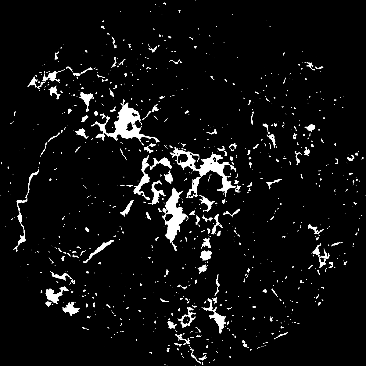
| XY Plane |

|
|---|
|
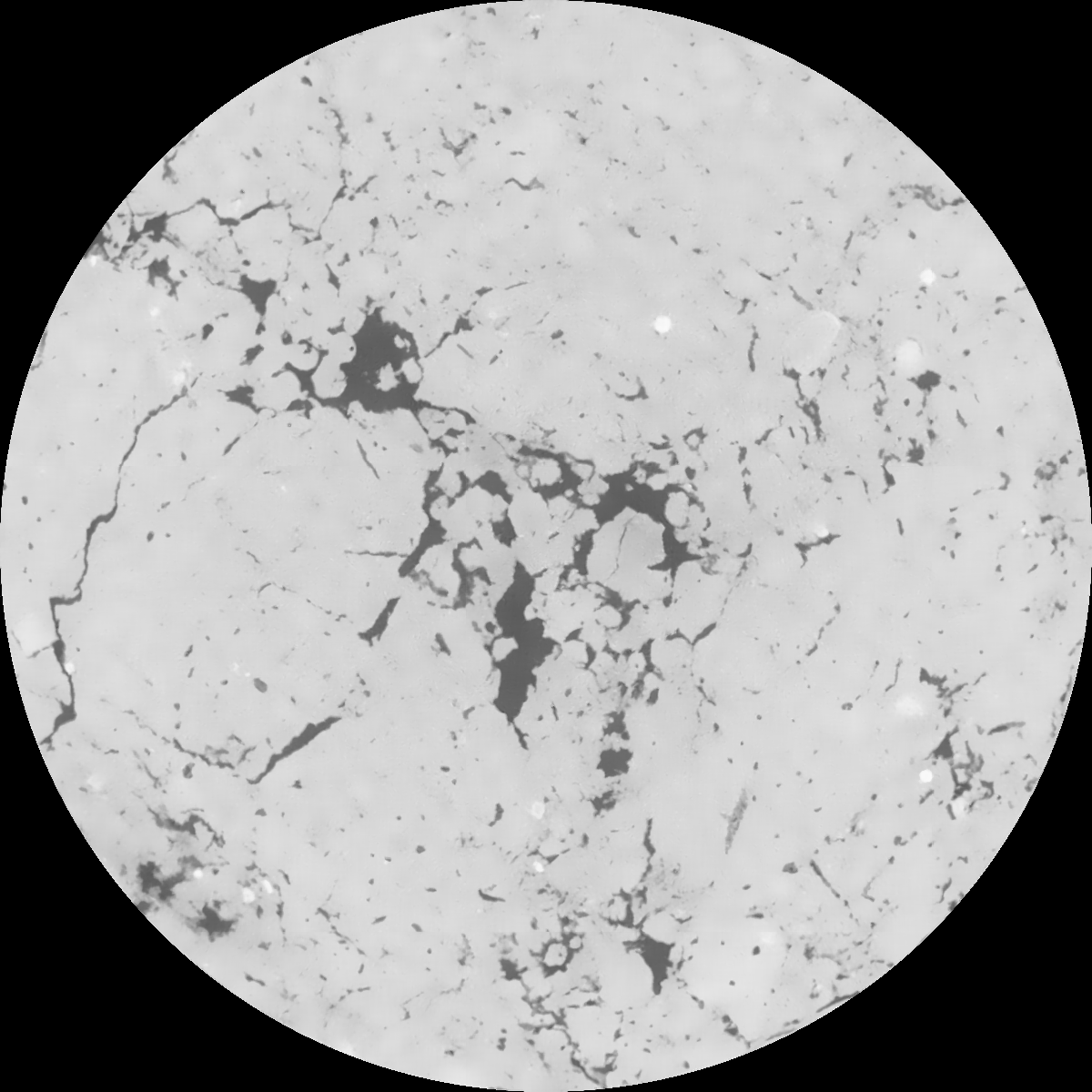
| XY Plane Grey |

|
|---|
|
| Texture | clayey silt |
|---|
| Sand | 8.3 |
|---|
| Silt | 71.9 |
|---|
| Clay | 19.8 |
|---|
|
|
Results
| Porosity | Surface | Mean Curvature | Euler | MeanPoreSize | Gamma | PoreDist |
| 0.061740666 | 0.477188969 | 0.222942073 | 0.313651345 | 0.868783192629 | 0.748298715384 | 0.609164577 |
| Opening size | Volume | Surface | MeanCurvature | Euler number |
|---|
| 0.12 | 0.061740666 | 0.477188969 | 0.222942073 | 0.313651345 |
| 0.15 | 0.059697436 | 0.420862116 | 0.16194702 | 0.116965901 |
| 0.18 | 0.057887087 | 0.385308198 | 0.133416411 | 0.066609428 |
| 0.21 | 0.056097841 | 0.356127298 | 0.115625823 | 0.061698628 |
| 0.24 | 0.055157921 | 0.342699959 | 0.112322784 | 0.088270404 |
| 0.27 | 0.0491601 | 0.266350621 | 0.073495305 | 0.046624312 |
| 0.3 | 0.046483609 | 0.23724238 | 0.062028982 | 0.042505693 |
| 0.36 | 0.042819082 | 0.199207862 | 0.048609635 | 0.035463347 |
| 0.42 | 0.036505283 | 0.143550572 | 0.028954022 | 0.018367646 |
| 0.48 | 0.033142886 | 0.118072233 | 0.021394933 | 0.012351644 |
| 0.54 | 0.028844499 | 0.08972138 | 0.01367957 | 0.007539566 |
| 0.6 | 0.026987968 | 0.078742914 | 0.011161898 | 0.005155799 |
| 0.66 | 0.023948571 | 0.063107729 | 0.007872534 | 0.003823056 |
| 0.72 | 0.022528824 | 0.056020483 | 0.006524607 | 0.00243373 |
| 0.78 | 0.020659404 | 0.048031245 | 0.005177689 | 0.001972627 |
| 0.84 | 0.019798982 | 0.044245555 | 0.004539497 | 0.001421231 |
| 0.9 | 0.01824102 | 0.03848464 | 0.0036701 | 0.001123862 |
| 1.2 | 0.013887876 | 0.02467686 | 0.001949045 | 0.0005526 |
| 1.5 | 0.010854627 | 0.017109956 | 0.001177002 | 0.000298573 |
| 1.8 | 0.008568849 | 0.012462047 | 0.000787926 | 0.000134839 |
| 2.1 | 0.006455462 | 0.008864781 | 0.000548812 | 0.000120392 |
| 2.7 | 0.00326022 | 0.003947712 | 0.000225172 | 0.000038526 |
| 3.3 | 0.001644802 | 0.001879751 | 0.00010871 | 0.000025282 |
| 3.9 | 0.000769537 | 0.000839333 | 0.000047727 | 0.000008427 |
| 4.5 | 0.000255922 | 0.00023116 | 0.000010216 | 0.000001204 |
| 5.1 | 0.0 | 0.0 | 0.0 | 0.0 |
| 5.7 | 0.0 | 0.0 | 0.0 | 0.0 |
| 6.3 | 0.0 | 0.0 | 0.0 | 0.0 |
| 6.9 | 0.0 | 0.0 | 0.0 | 0.0 |
| 7.5 | 0.0 | 0.0 | 0.0 | 0.0 |
| 8.1 | 0.0 | 0.0 | 0.0 | 0.0 |
| 8.7 | 0.0 | 0.0 | 0.0 | 0.0 |
| 9.3 | 0.0 | 0.0 | 0.0 | 0.0 |
| 9.9 | 0.0 | 0.0 | 0.0 | 0.0 |
Reference: An open Soil Structure Library based on X-ray CT data


