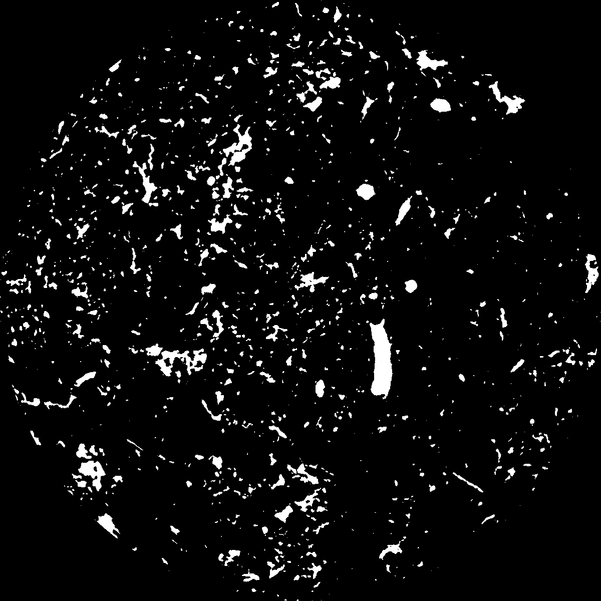
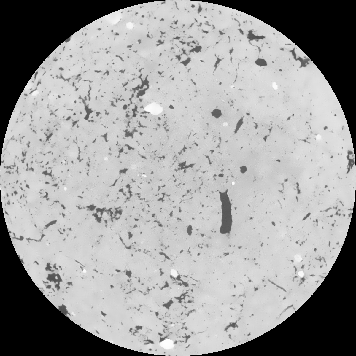
General Information
Internal Identifier Ad_3_B_2_u
| Soil Type | Haplic Luvisol |
|---|
| Classification | WRB |
|---|
|
| Location | Adenstedt |
|---|
| Latitude | 52.00772222 |
|---|
| Longitude | 9.939417 |
|---|
|
| Landuse | Cropland |
|---|
| Tillage | tillage |
|---|
| Crop | winter wheat, sugarbeets, winter wheat, silage mais |
|---|
|
| Sampling Depth | 25.0 |
|---|
| Sampling Date | March 24, 2021 |
|---|
| Voxel size | 0.06 |
|---|
| Pores white? | True |
|---|
|
| XY Plane |

|
|---|
|
| XY Plane Grey |

|
|---|
|
| Texture | clayey silt |
|---|
| Sand | 8.3 |
|---|
| Silt | 71.9 |
|---|
| Clay | 19.8 |
|---|
|
|
Results
| Porosity | Surface | Mean Curvature | Euler | MeanPoreSize | Gamma | PoreDist |
| 0.0607367 | 0.512351901 | 0.315328824 | 0.610104053 | 1.17740440392 | 0.624614090839 | 0.474499005 |
| Opening size | Volume | Surface | MeanCurvature | Euler number |
|---|
| 0.12 | 0.0607367 | 0.512351901 | 0.315328824 | 0.610104053 |
| 0.15 | 0.058081736 | 0.440099036 | 0.223143832 | 0.248019502 |
| 0.18 | 0.056098043 | 0.39621584 | 0.177330914 | 0.150189952 |
| 0.21 | 0.054178669 | 0.361361222 | 0.149755545 | 0.122785061 |
| 0.24 | 0.053268181 | 0.347434238 | 0.144475828 | 0.149780618 |
| 0.27 | 0.047360946 | 0.262887905 | 0.089536186 | 0.073390522 |
| 0.3 | 0.044788861 | 0.232122785 | 0.074371767 | 0.064320169 |
| 0.36 | 0.041134127 | 0.191130177 | 0.056659939 | 0.050165651 |
| 0.42 | 0.03526433 | 0.134142074 | 0.032137411 | 0.025007881 |
| 0.48 | 0.032171985 | 0.108404647 | 0.022934521 | 0.016403446 |
| 0.54 | 0.028462512 | 0.081339167 | 0.01397486 | 0.009319565 |
| 0.6 | 0.026841005 | 0.070671694 | 0.010946623 | 0.00619659 |
| 0.66 | 0.024435714 | 0.057096292 | 0.007492334 | 0.004409969 |
| 0.72 | 0.023297331 | 0.050814831 | 0.006049576 | 0.00271003 |
| 0.78 | 0.021943388 | 0.044635028 | 0.004792442 | 0.002112884 |
| 0.84 | 0.021316494 | 0.041705406 | 0.00424251 | 0.001437484 |
| 0.9 | 0.020147679 | 0.037034778 | 0.003399682 | 0.001035373 |
| 1.2 | 0.016936757 | 0.026621811 | 0.002008915 | 0.000538153 |
| 1.5 | 0.014108492 | 0.019641788 | 0.001359706 | 0.000353953 |
| 1.8 | 0.011759499 | 0.014481782 | 0.000881004 | 0.000186608 |
| 2.1 | 0.009966468 | 0.011126666 | 0.0006019 | 0.000130024 |
| 2.7 | 0.007142836 | 0.006792203 | 0.000325275 | 0.000074643 |
| 3.3 | 0.005483147 | 0.004632739 | 0.000198655 | 0.000031302 |
| 3.9 | 0.004114166 | 0.003124228 | 0.000124416 | 0.000030098 |
| 4.5 | 0.003225783 | 0.002229895 | 0.000080465 | 0.000009631 |
| 5.1 | 0.002802776 | 0.001804656 | 0.000055955 | 0.000004816 |
| 5.7 | 0.002566996 | 0.001680584 | 0.000053691 | 0.000004816 |
| 6.3 | 0.002009698 | 0.001420719 | 0.000050098 | 0.000004816 |
| 6.9 | 0.000996358 | 0.000664978 | 0.000022892 | 0.000002408 |
| 7.5 | 0.000697054 | 0.000511421 | 0.000019819 | 0.000002408 |
| 8.1 | 0.0 | 0.0 | 0.0 | 0.0 |
| 8.7 | 0.0 | 0.0 | 0.0 | 0.0 |
| 9.3 | 0.0 | 0.0 | 0.0 | 0.0 |
| 9.9 | 0.0 | 0.0 | 0.0 | 0.0 |
Reference: An open Soil Structure Library based on X-ray CT data


