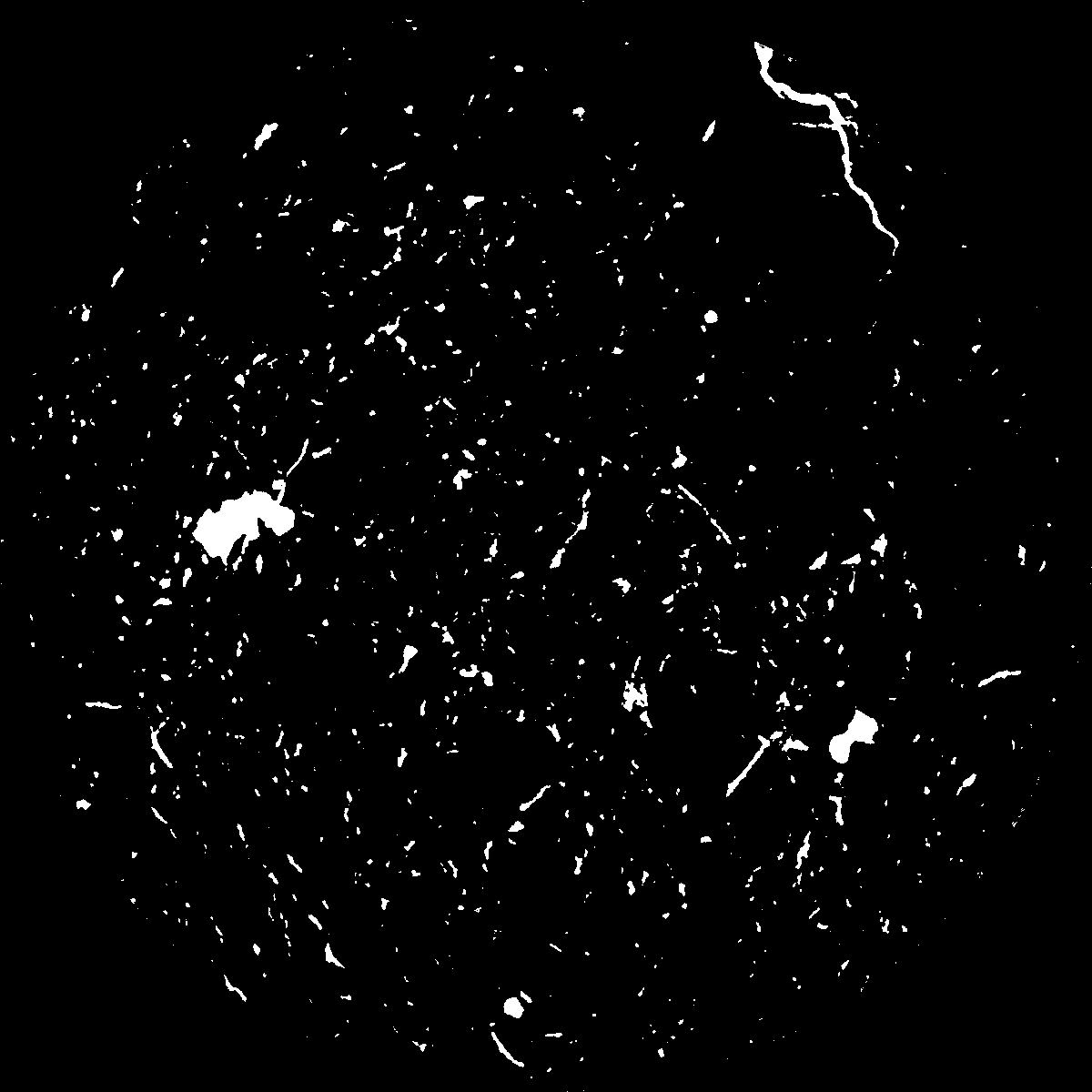
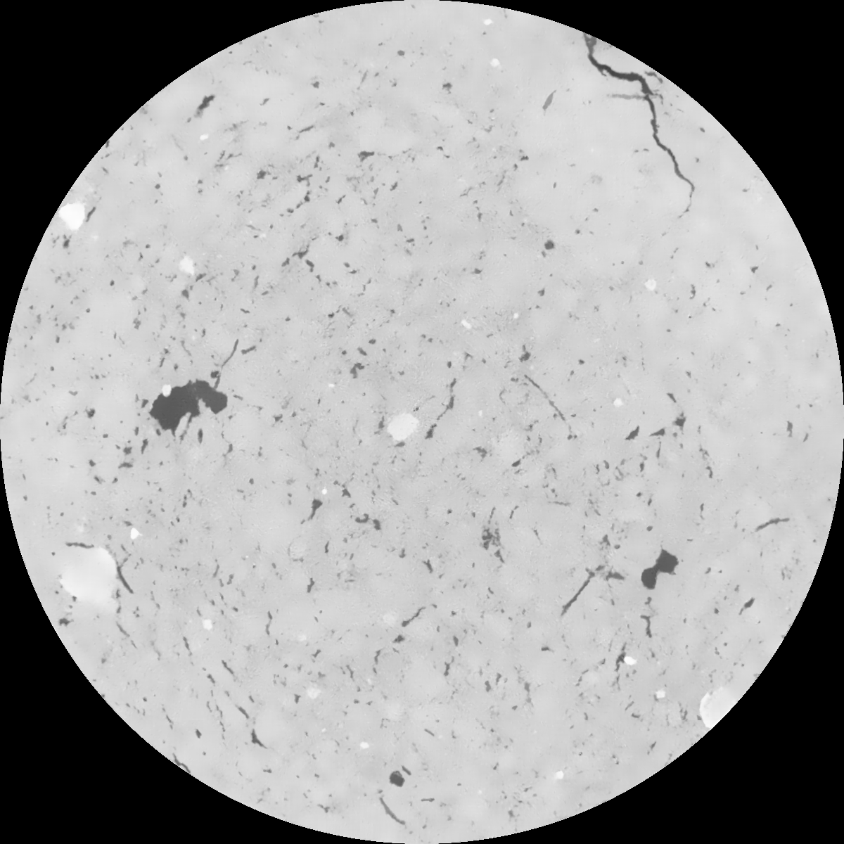
General Information
Internal Identifier Ad_3_A_3_u
| Soil Type | Haplic Luvisol |
|---|
| Classification | WRB |
|---|
|
| Location | Adenstedt |
|---|
| Latitude | 52.00772222 |
|---|
| Longitude | 9.939417 |
|---|
|
| Landuse | Cropland |
|---|
| Tillage | tillage |
|---|
| Crop | winter wheat, sugarbeets, winter wheat, silage mais |
|---|
|
| Sampling Depth | 10.0 |
|---|
| Sampling Date | March 24, 2021 |
|---|
| Voxel size | 0.06 |
|---|
| Pores white? | True |
|---|
|
| XY Plane |

|
|---|
|
| XY Plane Grey |

|
|---|
|
| Texture | clayey silt |
|---|
| Sand | 8.3 |
|---|
| Silt | 71.9 |
|---|
| Clay | 19.8 |
|---|
|
|
Results
| Porosity | Surface | Mean Curvature | Euler | MeanPoreSize | Gamma | PoreDist |
| 0.033860848 | 0.361143682 | 0.227262908 | 0.496984083 | 0.5596830526 | 0.304151574393 | 0.595789116 |
| Opening size | Volume | Surface | MeanCurvature | Euler number |
|---|
| 0.12 | 0.033860848 | 0.361143682 | 0.227262908 | 0.496984083 |
| 0.15 | 0.031926043 | 0.307988302 | 0.159133474 | 0.201689549 |
| 0.18 | 0.030442838 | 0.276584383 | 0.128423548 | 0.125330755 |
| 0.21 | 0.028963157 | 0.250711136 | 0.109212847 | 0.103817861 |
| 0.24 | 0.028229403 | 0.2398753 | 0.105664362 | 0.122506353 |
| 0.27 | 0.023425645 | 0.173201824 | 0.06433887 | 0.062205479 |
| 0.3 | 0.02135862 | 0.149059449 | 0.052880789 | 0.05348306 |
| 0.36 | 0.018538327 | 0.117817166 | 0.039534678 | 0.03947542 |
| 0.42 | 0.014139146 | 0.075213385 | 0.021157011 | 0.018808883 |
| 0.48 | 0.011989018 | 0.057247372 | 0.014559333 | 0.011811685 |
| 0.54 | 0.009507104 | 0.039007243 | 0.008387127 | 0.006462657 |
| 0.6 | 0.008494543 | 0.032358704 | 0.006469542 | 0.004264294 |
| 0.66 | 0.006989778 | 0.023632704 | 0.004138518 | 0.002767818 |
| 0.72 | 0.006312554 | 0.019791234 | 0.003185223 | 0.001758931 |
| 0.78 | 0.005550962 | 0.016175458 | 0.002394059 | 0.001219574 |
| 0.84 | 0.00521319 | 0.014577551 | 0.002075046 | 0.000907758 |
| 0.9 | 0.004591432 | 0.011944827 | 0.00155547 | 0.000630855 |
| 1.2 | 0.003042337 | 0.006388259 | 0.000660919 | 0.000264863 |
| 1.5 | 0.00211466 | 0.003789168 | 0.000329569 | 0.000109557 |
| 1.8 | 0.001562522 | 0.002566452 | 0.000217921 | 0.000063808 |
| 2.1 | 0.001068411 | 0.001538052 | 0.00011295 | 0.000037322 |
| 2.7 | 0.000593078 | 0.000699237 | 0.000037733 | 0.000012039 |
| 3.3 | 0.000316041 | 0.000371993 | 0.000021848 | 0.000003612 |
| 3.9 | 0.000119477 | 0.000155052 | 0.000010933 | 0.000002408 |
| 4.5 | 0.0 | 0.0 | 0.0 | 0.0 |
| 5.1 | 0.0 | 0.0 | 0.0 | 0.0 |
| 5.7 | 0.0 | 0.0 | 0.0 | 0.0 |
| 6.3 | 0.0 | 0.0 | 0.0 | 0.0 |
| 6.9 | 0.0 | 0.0 | 0.0 | 0.0 |
| 7.5 | 0.0 | 0.0 | 0.0 | 0.0 |
| 8.1 | 0.0 | 0.0 | 0.0 | 0.0 |
| 8.7 | 0.0 | 0.0 | 0.0 | 0.0 |
| 9.3 | 0.0 | 0.0 | 0.0 | 0.0 |
| 9.9 | 0.0 | 0.0 | 0.0 | 0.0 |
Reference: An open Soil Structure Library based on X-ray CT data


