General Information
Internal Identifier Ad_4_A_1_o
| Soil Type | Haplic Luvisol |
|---|
| Classification | WRB |
|---|
|
| Location | Adenstedt |
|---|
| Latitude | 52.00772222 |
|---|
| Longitude | 9.939417 |
|---|
|
| Landuse | Cropland |
|---|
| Tillage | tillage |
|---|
| Crop | winter wheat, sugarbeets, winter wheat, silage mais |
|---|
|
| Sampling Date | March 24, 2021 |
|---|
| Voxel size | 0.06 |
|---|
| Pores white? | True |
|---|
|
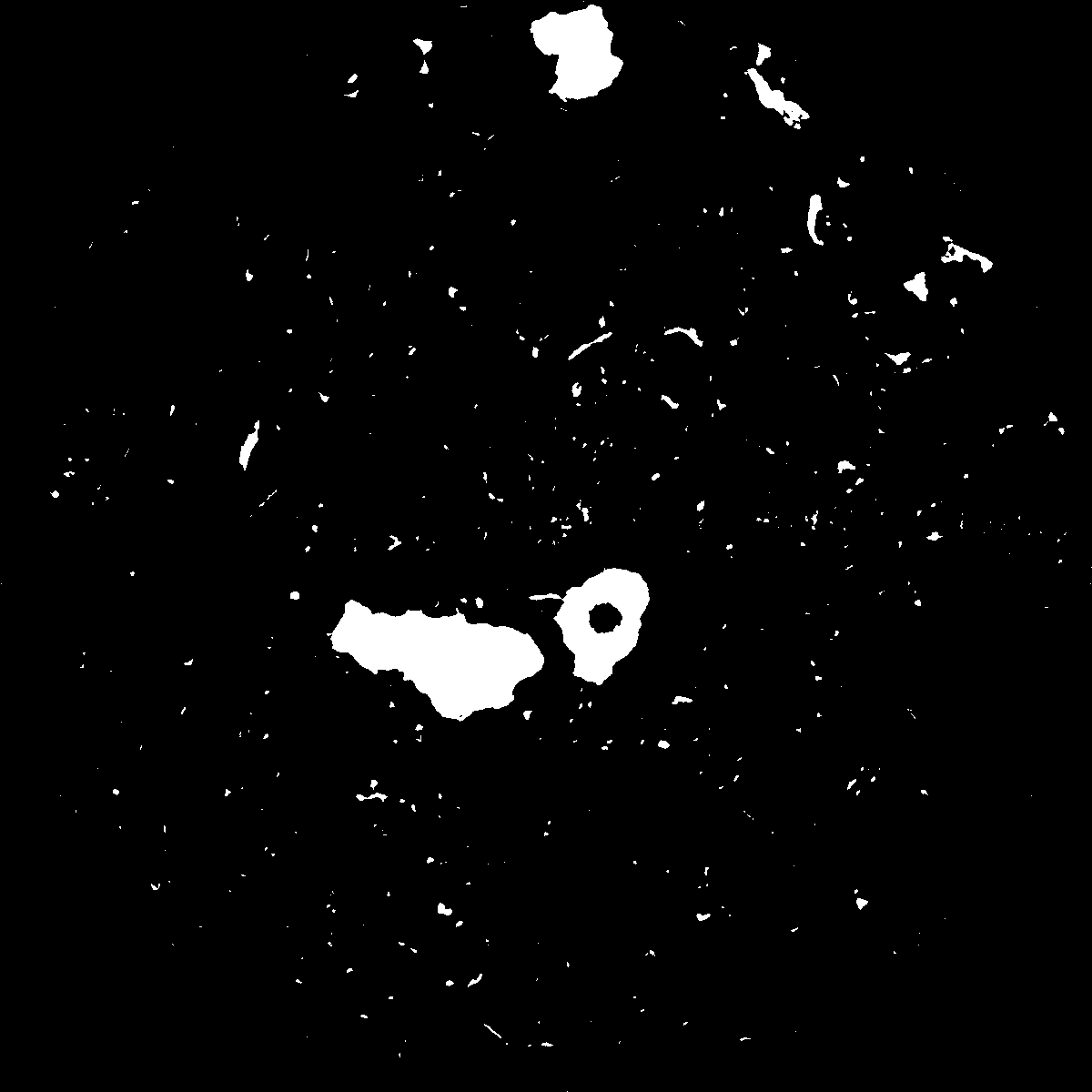
| XY Plane |

|
|---|
|
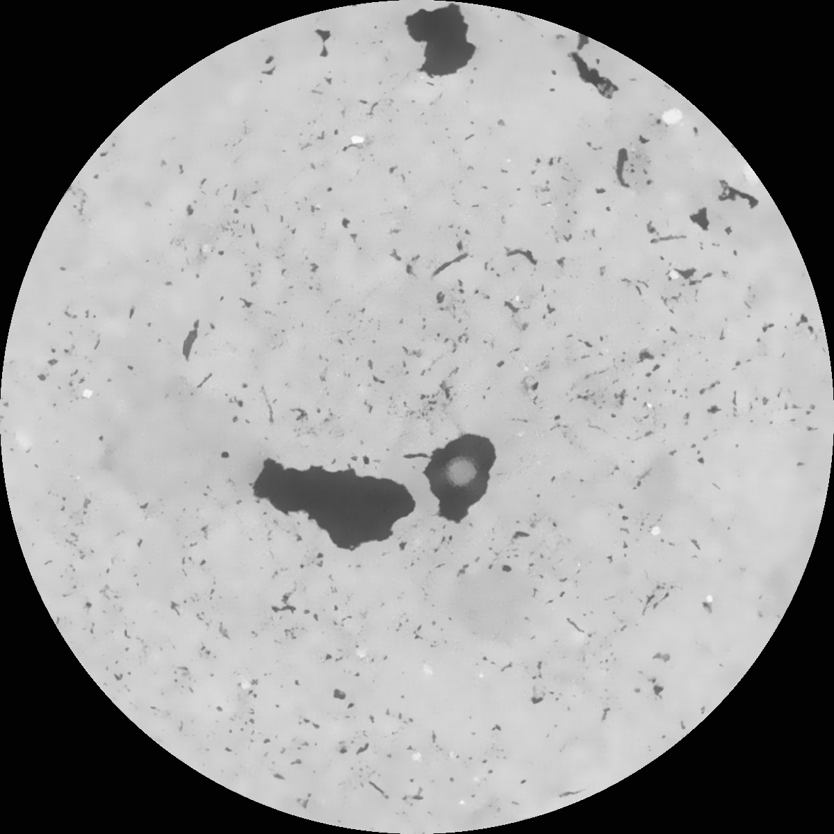
| XY Plane Grey |

|
|---|
|
| Texture | clayey silt |
|---|
| Sand | 8.3 |
|---|
| Silt | 71.9 |
|---|
| Clay | 19.8 |
|---|
|
|
Results
| Porosity | Surface | Mean Curvature | Euler | MeanPoreSize | Gamma | PoreDist |
| 0.048425997 | 0.167175211 | 0.090601044 | 0.258595833 | 2.85506866886 | 0.593570600647 | 1.144578323 |
| Opening size | Volume | Surface | MeanCurvature | Euler number |
|---|
| 0.12 | 0.048425997 | 0.167175211 | 0.090601044 | 0.258595833 |
| 0.15 | 0.04756033 | 0.141614679 | 0.055818098 | 0.089520549 |
| 0.18 | 0.046934922 | 0.128065722 | 0.042022601 | 0.052414449 |
| 0.21 | 0.046423508 | 0.118932867 | 0.034941947 | 0.042213269 |
| 0.24 | 0.046175471 | 0.115195527 | 0.033501574 | 0.046537587 |
| 0.27 | 0.044716473 | 0.094363594 | 0.019672953 | 0.021824796 |
| 0.3 | 0.044129211 | 0.087372604 | 0.016140524 | 0.017829406 |
| 0.36 | 0.043353691 | 0.078692165 | 0.012275819 | 0.012465673 |
| 0.42 | 0.042141197 | 0.067300181 | 0.007419093 | 0.005765758 |
| 0.48 | 0.041482095 | 0.062214636 | 0.005763402 | 0.003708856 |
| 0.54 | 0.040602656 | 0.056601006 | 0.00421085 | 0.002631431 |
| 0.6 | 0.04017829 | 0.054179045 | 0.003678596 | 0.001844925 |
| 0.66 | 0.039414841 | 0.050627144 | 0.003010569 | 0.00171774 |
| 0.72 | 0.039003254 | 0.048706988 | 0.002707272 | 0.001071577 |
| 0.78 | 0.038384426 | 0.046387101 | 0.002377767 | 0.000972168 |
| 0.84 | 0.038063692 | 0.045091654 | 0.002197315 | 0.000608153 |
| 0.9 | 0.037484326 | 0.043324253 | 0.002028219 | 0.000596458 |
| 1.2 | 0.035136462 | 0.037087969 | 0.001506204 | 0.000461962 |
| 1.5 | 0.032604251 | 0.031872441 | 0.001185096 | 0.000377172 |
| 1.8 | 0.030489552 | 0.028287547 | 0.001025634 | 0.000271915 |
| 2.1 | 0.028455146 | 0.025200948 | 0.000867342 | 0.000266067 |
| 2.7 | 0.024814072 | 0.020668739 | 0.000664773 | 0.000097948 |
| 3.3 | 0.021370182 | 0.017376903 | 0.000561989 | 0.000067248 |
| 3.9 | 0.017502397 | 0.014322805 | 0.00051766 | 0.000089176 |
| 4.5 | 0.012308027 | 0.010251147 | 0.000415892 | 0.000059938 |
| 5.1 | 0.007149838 | 0.005951648 | 0.000254103 | 0.000040933 |
| 5.7 | 0.002608717 | 0.002097077 | 0.000088846 | 0.000011695 |
| 6.3 | 0.000761219 | 0.000486576 | 0.000015648 | 0.000001462 |
| 6.9 | 0.000570791 | 0.000383382 | 0.000013506 | 0.000001462 |
| 7.5 | 0.000460268 | 0.000328244 | 0.000012363 | 0.000001462 |
| 8.1 | 0.0 | 0.0 | 0.0 | 0.0 |
| 8.7 | 0.0 | 0.0 | 0.0 | 0.0 |
| 9.3 | 0.0 | 0.0 | 0.0 | 0.0 |
| 9.9 | 0.0 | 0.0 | 0.0 | 0.0 |
Reference: An open Soil Structure Library based on X-ray CT data


