General Information
Internal Identifier Ad_4_B_1_o
| Soil Type | Haplic Luvisol |
|---|
| Classification | WRB |
|---|
|
| Location | Adenstedt |
|---|
| Latitude | 52.00772222 |
|---|
| Longitude | 9.939417 |
|---|
|
| Landuse | Cropland |
|---|
| Tillage | tillage |
|---|
| Crop | winter wheat, sugarbeets, winter wheat, silage mais |
|---|
|
| Sampling Depth | 15.0 |
|---|
| Sampling Date | March 24, 2021 |
|---|
| Voxel size | 0.06 |
|---|
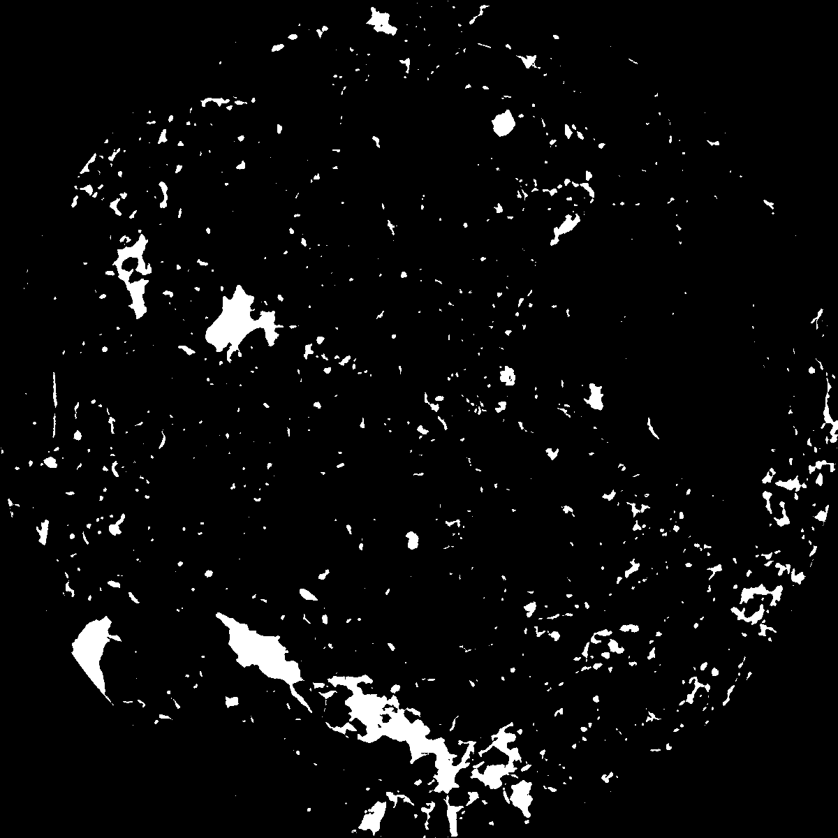
| Pores white? | True |
|---|
|
| XY Plane |

|
|---|
|
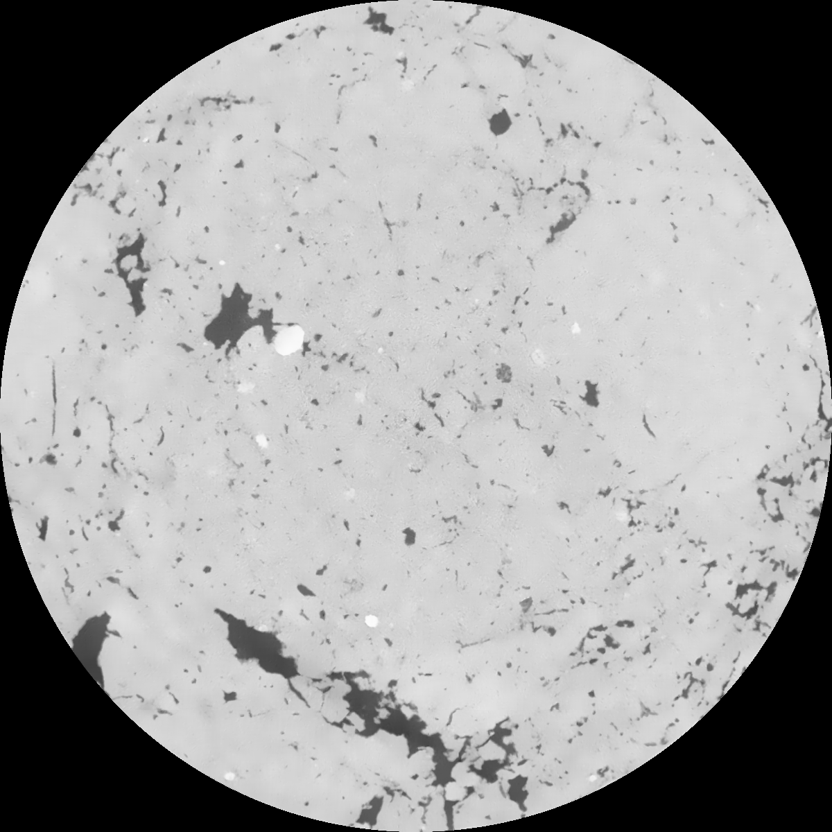
| XY Plane Grey |

|
|---|
|
| Texture | clayey silt |
|---|
| Sand | 8.3 |
|---|
| Silt | 71.9 |
|---|
| Clay | 19.8 |
|---|
|
|
Results
| Porosity | Surface | Mean Curvature | Euler | MeanPoreSize | Gamma | PoreDist |
| 0.037085299 | 0.314764277 | 0.167834831 | 0.330923636 | 0.715808595331 | 0.641578313441 | 0.724254458 |
| Opening size | Volume | Surface | MeanCurvature | Euler number |
|---|
| 0.12 | 0.037085299 | 0.314764277 | 0.167834831 | 0.330923636 |
| 0.15 | 0.035520494 | 0.270908598 | 0.113893824 | 0.111638457 |
| 0.18 | 0.034289915 | 0.245411784 | 0.09051493 | 0.061771379 |
| 0.21 | 0.03317101 | 0.226351819 | 0.077359317 | 0.050928422 |
| 0.24 | 0.032606521 | 0.218120542 | 0.074909548 | 0.066029911 |
| 0.27 | 0.028927769 | 0.170099974 | 0.048595884 | 0.031349114 |
| 0.3 | 0.027333345 | 0.15247471 | 0.041217135 | 0.027880011 |
| 0.36 | 0.02506716 | 0.128759244 | 0.032644178 | 0.022960697 |
| 0.42 | 0.021024665 | 0.093127564 | 0.020059556 | 0.012598706 |
| 0.48 | 0.018848754 | 0.076446735 | 0.015040593 | 0.008756817 |
| 0.54 | 0.016062748 | 0.057899258 | 0.00993263 | 0.005694124 |
| 0.6 | 0.014822511 | 0.050342029 | 0.008101541 | 0.00410357 |
| 0.66 | 0.012821491 | 0.03974094 | 0.005746361 | 0.002999831 |
| 0.72 | 0.011853471 | 0.034730235 | 0.004716256 | 0.002056902 |
| 0.78 | 0.010612439 | 0.029309314 | 0.003726717 | 0.001606635 |
| 0.84 | 0.010044028 | 0.026792386 | 0.003313533 | 0.001226539 |
| 0.9 | 0.008965524 | 0.022611818 | 0.002620152 | 0.000926848 |
| 1.2 | 0.006099632 | 0.01303242 | 0.001265575 | 0.000404948 |
| 1.5 | 0.003999857 | 0.007614042 | 0.000677248 | 0.000182738 |
| 1.8 | 0.002525782 | 0.004360445 | 0.000364139 | 0.000086252 |
| 2.1 | 0.001611124 | 0.002608482 | 0.000213042 | 0.000065786 |
| 2.7 | 0.000716438 | 0.000930365 | 0.00006059 | 0.000017543 |
| 3.3 | 0.000528265 | 0.000678021 | 0.000044675 | 0.000008771 |
| 3.9 | 0.000249647 | 0.000347533 | 0.000025608 | 0.000005848 |
| 4.5 | 0.0 | 0.0 | 0.0 | 0.0 |
| 5.1 | 0.0 | 0.0 | 0.0 | 0.0 |
| 5.7 | 0.0 | 0.0 | 0.0 | 0.0 |
| 6.3 | 0.0 | 0.0 | 0.0 | 0.0 |
| 6.9 | 0.0 | 0.0 | 0.0 | 0.0 |
| 7.5 | 0.0 | 0.0 | 0.0 | 0.0 |
| 8.1 | 0.0 | 0.0 | 0.0 | 0.0 |
| 8.7 | 0.0 | 0.0 | 0.0 | 0.0 |
| 9.3 | 0.0 | 0.0 | 0.0 | 0.0 |
| 9.9 | 0.0 | 0.0 | 0.0 | 0.0 |
Reference: An open Soil Structure Library based on X-ray CT data


