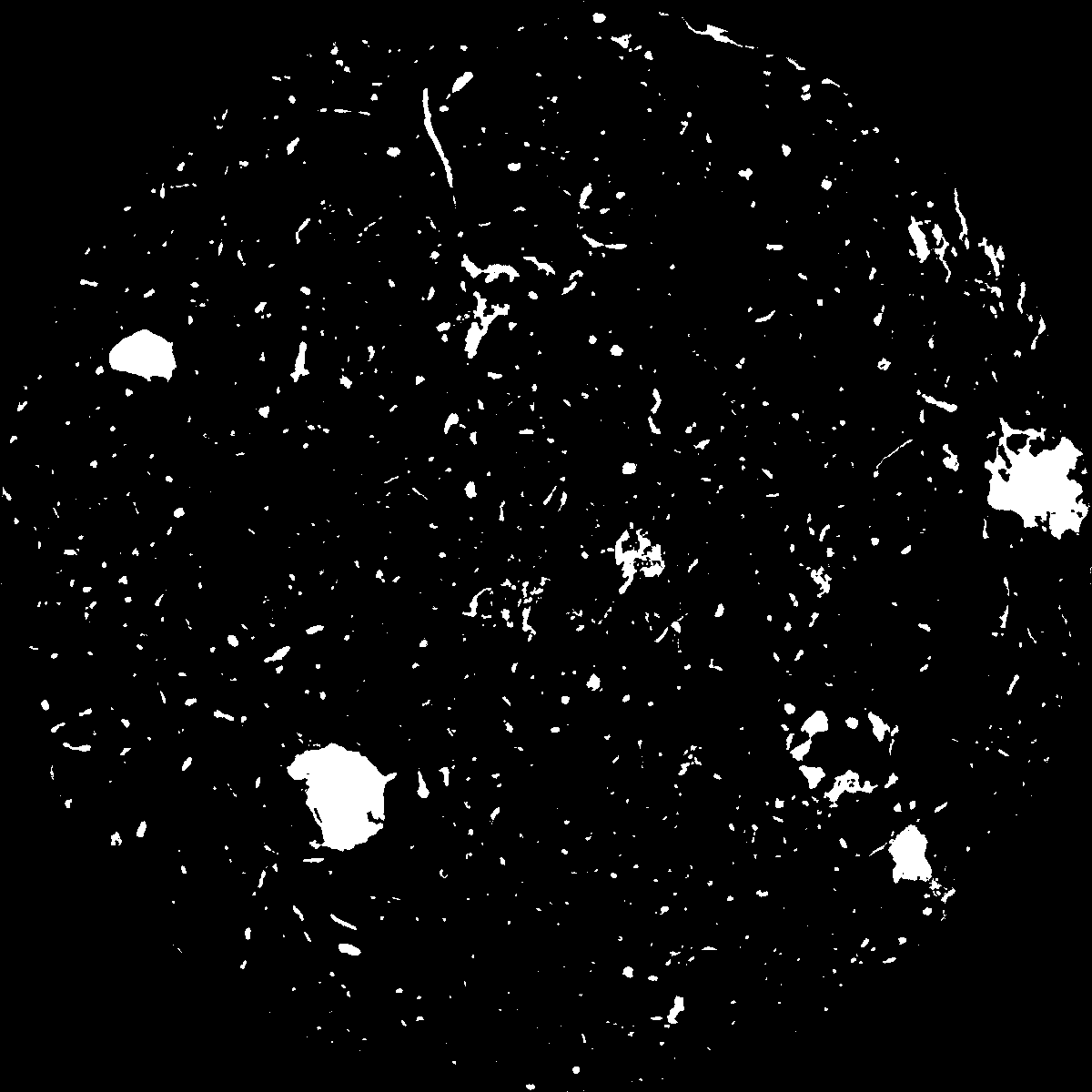
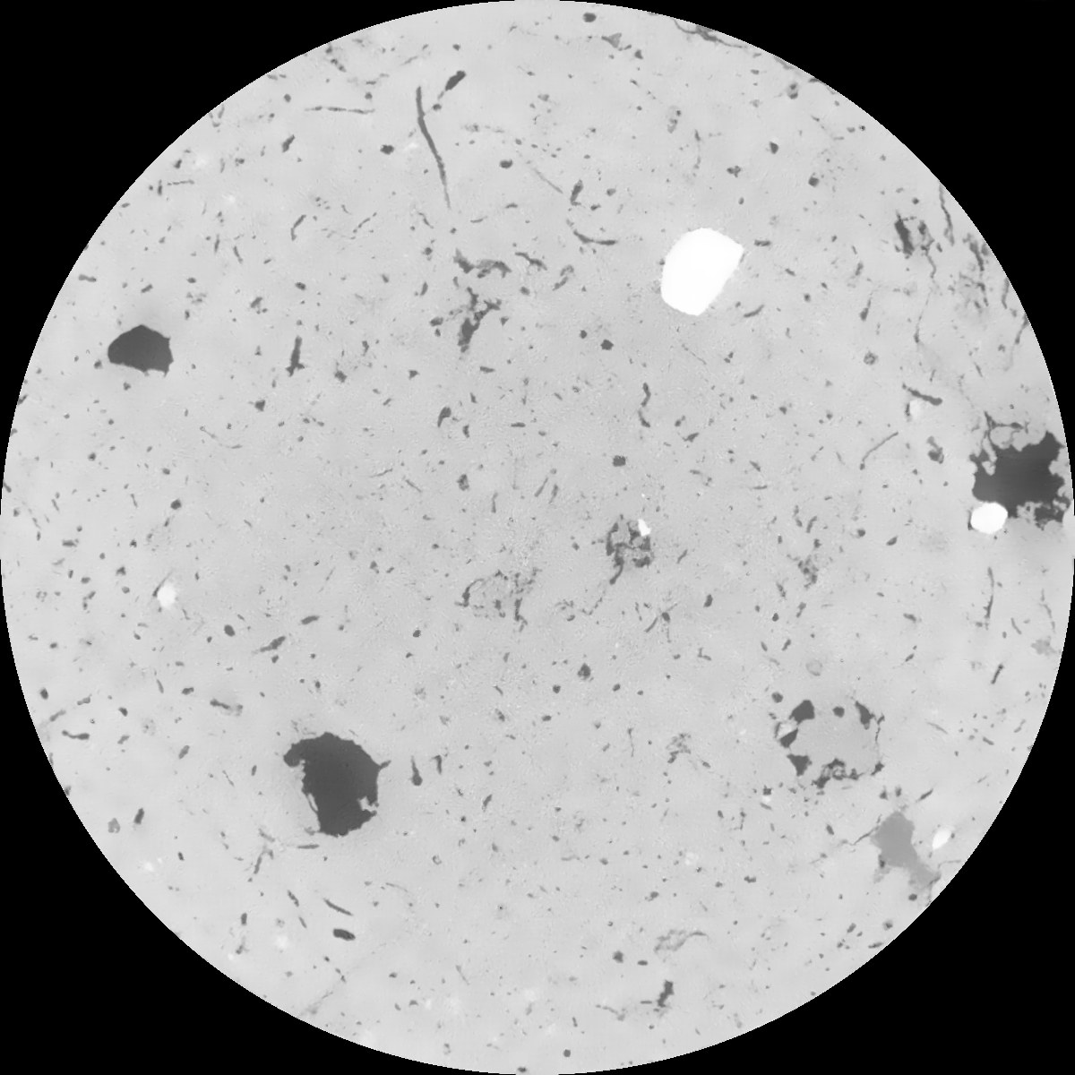
General Information
Internal Identifier Ad_4_B_1_u
| Soil Type | Haplic Luvisol |
|---|
| Classification | WRB |
|---|
|
| Location | Adenstedt |
|---|
| Latitude | 52.00772222 |
|---|
| Longitude | 9.939417 |
|---|
|
| Landuse | Cropland |
|---|
| Tillage | tillage |
|---|
| Crop | winter wheat, sugarbeets, winter wheat, silage mais |
|---|
|
| Sampling Depth | 25.0 |
|---|
| Sampling Date | March 24, 2021 |
|---|
| Voxel size | 0.06 |
|---|
| Pores white? | True |
|---|
|
| XY Plane |

|
|---|
|
| XY Plane Grey |

|
|---|
|
| Texture | clayey silt |
|---|
| Sand | 8.3 |
|---|
| Silt | 71.9 |
|---|
| Clay | 19.8 |
|---|
|
|
Results
| Porosity | Surface | Mean Curvature | Euler | MeanPoreSize | Gamma | PoreDist |
| 0.039192182 | 0.40447692 | 0.271816273 | 0.520512945 | 0.909175911629 | 0.533054611965 | 0.514881469 |
| Opening size | Volume | Surface | MeanCurvature | Euler number |
|---|
| 0.12 | 0.039192182 | 0.40447692 | 0.271816273 | 0.520512945 |
| 0.15 | 0.036806722 | 0.339250671 | 0.190697102 | 0.217708342 |
| 0.18 | 0.034975776 | 0.299154772 | 0.149744569 | 0.13440773 |
| 0.21 | 0.033225867 | 0.267118287 | 0.124000963 | 0.108217597 |
| 0.24 | 0.032426762 | 0.254842433 | 0.119252298 | 0.133691396 |
| 0.27 | 0.02725937 | 0.178957622 | 0.068071566 | 0.058727949 |
| 0.3 | 0.025212614 | 0.153816331 | 0.055003781 | 0.04961907 |
| 0.36 | 0.022380111 | 0.121385717 | 0.04018694 | 0.037547337 |
| 0.42 | 0.017926226 | 0.077089529 | 0.020465355 | 0.017313612 |
| 0.48 | 0.015774105 | 0.058818215 | 0.013627575 | 0.010416339 |
| 0.54 | 0.013332967 | 0.040719908 | 0.007532907 | 0.005518781 |
| 0.6 | 0.012347919 | 0.034233543 | 0.005682205 | 0.003576854 |
| 0.66 | 0.010900504 | 0.025989263 | 0.003554245 | 0.0023019 |
| 0.72 | 0.010252719 | 0.022456922 | 0.002747574 | 0.001262915 |
| 0.78 | 0.009466984 | 0.018858166 | 0.002019185 | 0.000859601 |
| 0.84 | 0.00912549 | 0.017309919 | 0.001748227 | 0.000548989 |
| 0.9 | 0.00851049 | 0.014923246 | 0.001372249 | 0.00046953 |
| 1.2 | 0.006920255 | 0.009667103 | 0.000675739 | 0.000175773 |
| 1.5 | 0.005959279 | 0.007255984 | 0.000428748 | 0.000136043 |
| 1.8 | 0.005205096 | 0.005712553 | 0.000304187 | 0.000080663 |
| 2.1 | 0.004552626 | 0.004574375 | 0.000216927 | 0.000031302 |
| 2.7 | 0.003713077 | 0.003310893 | 0.000130281 | 0.000022875 |
| 3.3 | 0.002987146 | 0.002512985 | 0.000099189 | 0.000015651 |
| 3.9 | 0.002500398 | 0.001998536 | 0.000073214 | 0.00000602 |
| 4.5 | 0.002126957 | 0.001718505 | 0.000065927 | 0.000007224 |
| 5.1 | 0.001373543 | 0.001102607 | 0.000043746 | 0.000004816 |
| 5.7 | 0.000738455 | 0.000676238 | 0.000032435 | 0.000004816 |
| 6.3 | 0.0 | 0.0 | 0.0 | 0.0 |
| 6.9 | 0.0 | 0.0 | 0.0 | 0.0 |
| 7.5 | 0.0 | 0.0 | 0.0 | 0.0 |
| 8.1 | 0.0 | 0.0 | 0.0 | 0.0 |
| 8.7 | 0.0 | 0.0 | 0.0 | 0.0 |
| 9.3 | 0.0 | 0.0 | 0.0 | 0.0 |
| 9.9 | 0.0 | 0.0 | 0.0 | 0.0 |
Reference: An open Soil Structure Library based on X-ray CT data


