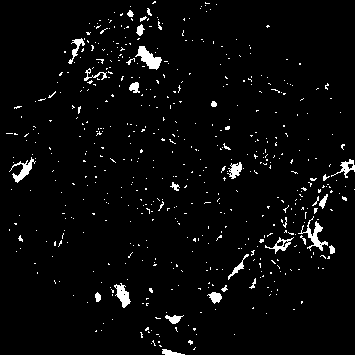
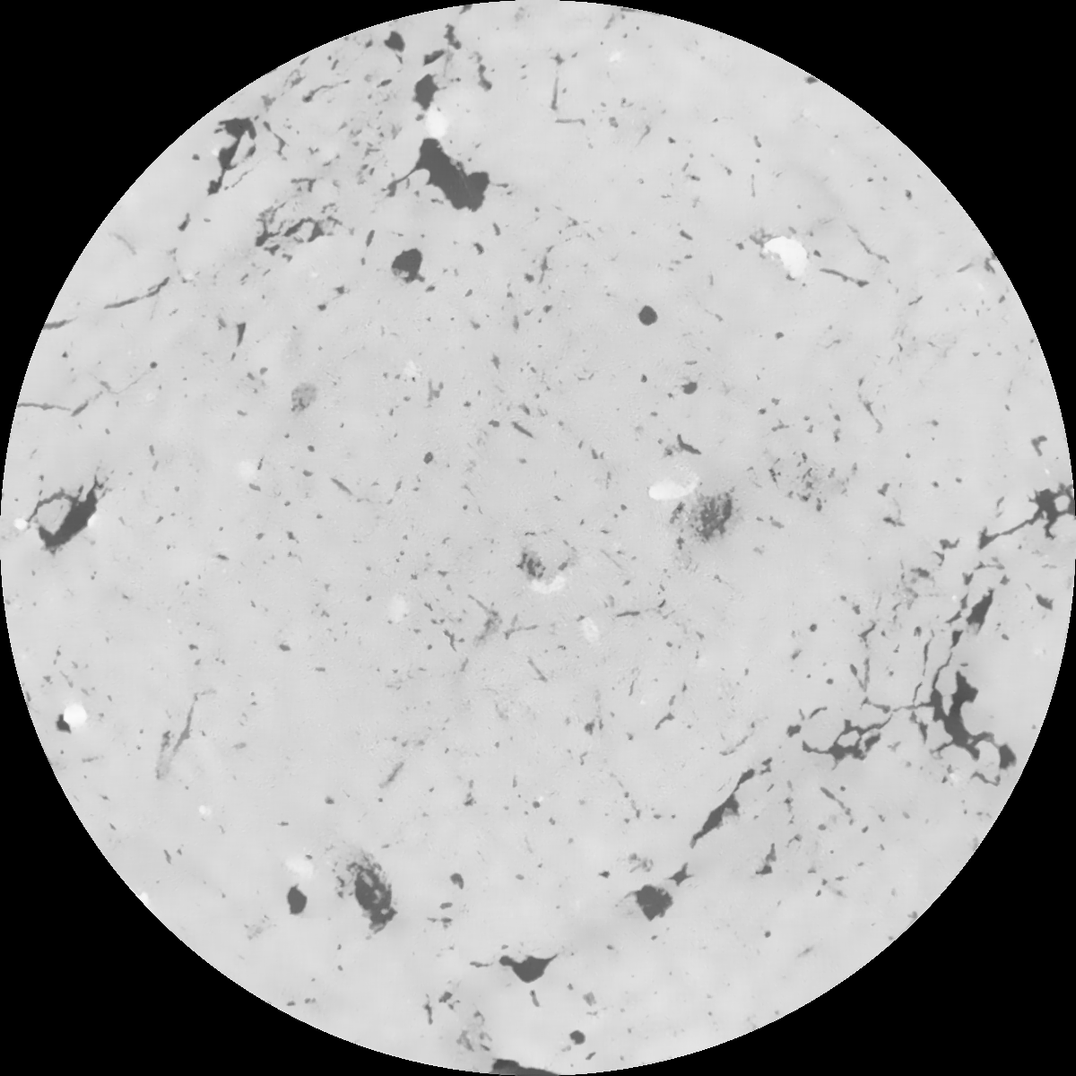
General Information
Internal Identifier Ad_4_A_2_u
| Soil Type | Haplic Luvisol |
|---|
| Classification | WRB |
|---|
|
| Location | Adenstedt |
|---|
| Latitude | 52.00772222 |
|---|
| Longitude | 9.939417 |
|---|
|
| Landuse | Cropland |
|---|
| Tillage | tillage |
|---|
| Crop | winter wheat, sugarbeets, winter wheat, silage mais |
|---|
|
| Sampling Depth | 10.0 |
|---|
| Sampling Date | March 24, 2021 |
|---|
| Voxel size | 0.06 |
|---|
| Pores white? | True |
|---|
|
| XY Plane |

|
|---|
|
| XY Plane Grey |

|
|---|
|
| Texture | clayey silt |
|---|
| Sand | 8.3 |
|---|
| Silt | 71.9 |
|---|
| Clay | 19.8 |
|---|
|
|
Results
| Porosity | Surface | Mean Curvature | Euler | MeanPoreSize | Gamma | PoreDist |
| 0.043419706 | 0.35379034 | 0.188509188 | 0.353863565 | 0.948101300045 | 0.590598809694 | 0.660124659 |
| Opening size | Volume | Surface | MeanCurvature | Euler number |
|---|
| 0.12 | 0.043419706 | 0.35379034 | 0.188509188 | 0.353863565 |
| 0.15 | 0.04175774 | 0.307300645 | 0.133090666 | 0.139992125 |
| 0.18 | 0.040380731 | 0.27912826 | 0.10770959 | 0.083803851 |
| 0.21 | 0.039039562 | 0.256468157 | 0.092259467 | 0.07114942 |
| 0.24 | 0.038361872 | 0.246598732 | 0.089347673 | 0.088808558 |
| 0.27 | 0.033947197 | 0.188113246 | 0.056294553 | 0.044537914 |
| 0.3 | 0.032003291 | 0.166339394 | 0.046889148 | 0.039126282 |
| 0.36 | 0.029327238 | 0.137807325 | 0.035879214 | 0.030047501 |
| 0.42 | 0.024892052 | 0.097616817 | 0.02058148 | 0.014608397 |
| 0.48 | 0.022552569 | 0.079555075 | 0.014912614 | 0.009230475 |
| 0.54 | 0.019635619 | 0.060009789 | 0.009383644 | 0.005545268 |
| 0.6 | 0.018375918 | 0.052357274 | 0.00751793 | 0.003746607 |
| 0.66 | 0.016401239 | 0.041996131 | 0.005258399 | 0.002840054 |
| 0.72 | 0.015467569 | 0.037193777 | 0.004280186 | 0.001734853 |
| 0.78 | 0.014296594 | 0.032175483 | 0.003402145 | 0.001429056 |
| 0.84 | 0.013770496 | 0.029898996 | 0.003034361 | 0.000979993 |
| 0.9 | 0.01279936 | 0.02637361 | 0.002530976 | 0.000829503 |
| 1.2 | 0.009926299 | 0.01726718 | 0.001387552 | 0.000418965 |
| 1.5 | 0.007800237 | 0.011956101 | 0.00084888 | 0.000270883 |
| 1.8 | 0.00622288 | 0.008720968 | 0.000575859 | 0.000138451 |
| 2.1 | 0.004855133 | 0.006250612 | 0.000398182 | 0.000136043 |
| 2.7 | 0.003204272 | 0.003590081 | 0.000207203 | 0.000075847 |
| 3.3 | 0.002131217 | 0.002137015 | 0.000112828 | 0.000034914 |
| 3.9 | 0.001464999 | 0.001306434 | 0.000061049 | 0.000010835 |
| 4.5 | 0.001111759 | 0.000914884 | 0.000038748 | 0.000007224 |
| 5.1 | 0.000980236 | 0.000817154 | 0.00003595 | 0.000012039 |
| 5.7 | 0.000631113 | 0.000492839 | 0.000019986 | 0.000002408 |
| 6.3 | 0.000510049 | 0.000417986 | 0.000018051 | 0.000002408 |
| 6.9 | 0.0 | 0.0 | 0.0 | 0.0 |
| 7.5 | 0.0 | 0.0 | 0.0 | 0.0 |
| 8.1 | 0.0 | 0.0 | 0.0 | 0.0 |
| 8.7 | 0.0 | 0.0 | 0.0 | 0.0 |
| 9.3 | 0.0 | 0.0 | 0.0 | 0.0 |
| 9.9 | 0.0 | 0.0 | 0.0 | 0.0 |
Reference: An open Soil Structure Library based on X-ray CT data


