General Information
Internal Identifier Ad_4_A_3_u
| Soil Type | Haplic Luvisol |
|---|
| Classification | WRB |
|---|
|
| Location | Adenstedt |
|---|
| Latitude | 52.00772222 |
|---|
| Longitude | 9.939417 |
|---|
|
| Landuse | Cropland |
|---|
| Tillage | tillage |
|---|
| Crop | winter wheat, sugarbeets, winter wheat, silage mais |
|---|
|
| Sampling Depth | 10.0 |
|---|
| Sampling Date | March 24, 2021 |
|---|
| Voxel size | 0.06 |
|---|
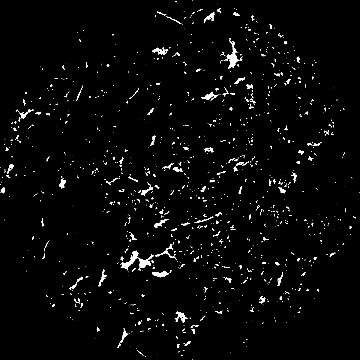
| Pores white? | True |
|---|
|
| XY Plane |

|
|---|
|
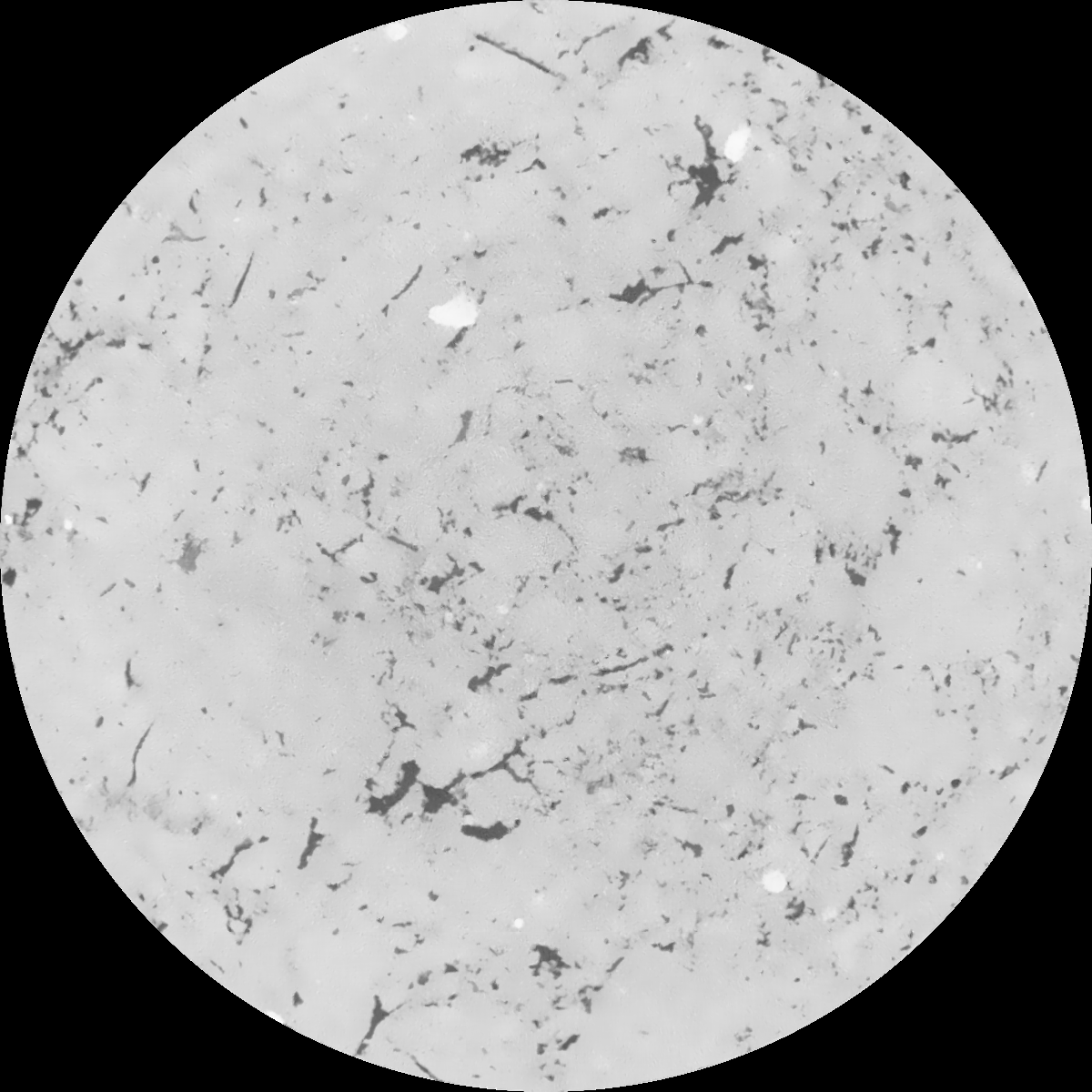
| XY Plane Grey |

|
|---|
|
| Texture | clayey silt |
|---|
| Sand | 8.3 |
|---|
| Silt | 71.9 |
|---|
| Clay | 19.8 |
|---|
|
|
Results
| Porosity | Surface | Mean Curvature | Euler | MeanPoreSize | Gamma | PoreDist |
| 0.045342179 | 0.393361859 | 0.225080689 | 0.432184151 | 1.0945289531 | 0.52785851404 | 0.618132474 |
| Opening size | Volume | Surface | MeanCurvature | Euler number |
|---|
| 0.12 | 0.045342179 | 0.393361859 | 0.225080689 | 0.432184151 |
| 0.15 | 0.043368562 | 0.33803014 | 0.157677286 | 0.16599866 |
| 0.18 | 0.04177272 | 0.304685989 | 0.126404724 | 0.099521061 |
| 0.21 | 0.04021705 | 0.277890731 | 0.107466836 | 0.084805515 |
| 0.24 | 0.03943068 | 0.266310083 | 0.103889452 | 0.106318409 |
| 0.27 | 0.034480099 | 0.19933213 | 0.064675659 | 0.055175775 |
| 0.3 | 0.032257831 | 0.173721842 | 0.052955971 | 0.047528458 |
| 0.36 | 0.029295754 | 0.141509796 | 0.03998917 | 0.036383746 |
| 0.42 | 0.024482487 | 0.096517867 | 0.021859812 | 0.017334078 |
| 0.48 | 0.022021675 | 0.076827195 | 0.015198694 | 0.010741398 |
| 0.54 | 0.019065616 | 0.056322898 | 0.00893605 | 0.005737895 |
| 0.6 | 0.017845566 | 0.048825604 | 0.007026743 | 0.003734568 |
| 0.66 | 0.015954168 | 0.038884625 | 0.004800892 | 0.002647426 |
| 0.72 | 0.015060576 | 0.034356444 | 0.003896024 | 0.001583158 |
| 0.78 | 0.013969546 | 0.029829396 | 0.003156065 | 0.001284585 |
| 0.84 | 0.013439713 | 0.027553576 | 0.002790461 | 0.000912573 |
| 0.9 | 0.012468794 | 0.024135985 | 0.002344102 | 0.00087164 |
| 1.2 | 0.009560322 | 0.015104202 | 0.001244448 | 0.000394887 |
| 1.5 | 0.007331392 | 0.009540447 | 0.000700404 | 0.00027329 |
| 1.8 | 0.005926646 | 0.006405051 | 0.000379364 | 0.000081867 |
| 2.1 | 0.004951156 | 0.004588767 | 0.000228806 | 0.000097518 |
| 2.7 | 0.003800579 | 0.002833388 | 0.00010696 | 0.000019263 |
| 3.3 | 0.003265706 | 0.002141604 | 0.000068426 | 0.000014447 |
| 3.9 | 0.003029928 | 0.001928614 | 0.000061313 | 0.000015651 |
| 4.5 | 0.002847544 | 0.001768723 | 0.000054137 | 0.000004816 |
| 5.1 | 0.002710345 | 0.001682182 | 0.000052387 | 0.000012039 |
| 5.7 | 0.002557534 | 0.001594464 | 0.000050894 | 0.000004816 |
| 6.3 | 0.002381526 | 0.001500546 | 0.000048748 | 0.000004816 |
| 6.9 | 0.002145149 | 0.001383486 | 0.000046501 | 0.000004816 |
| 7.5 | 0.0011378 | 0.000720748 | 0.000023719 | 0.000002408 |
| 8.1 | 0.0 | 0.0 | 0.0 | 0.0 |
| 8.7 | 0.0 | 0.0 | 0.0 | 0.0 |
| 9.3 | 0.0 | 0.0 | 0.0 | 0.0 |
| 9.9 | 0.0 | 0.0 | 0.0 | 0.0 |
Reference: An open Soil Structure Library based on X-ray CT data


