General Information
Internal Identifier leuther
| Soil Type | Fluvic Gleysol |
|---|
| Classification | FAO |
|---|
|
| Location | Giessen |
|---|
| Latitude | 50°32'00 |
|---|
| Longitude | 8°41'18.0 |
|---|
|
| Landuse | Grassland |
|---|
| Tillage | No tillage |
|---|
| Crop | gras |
|---|
|
| Sampling Depth | -5.0 |
|---|
| Sample Height | 5.0 |
|---|
| Sampling Date | March 1, 2020 |
|---|
| Voxel size | 0.048 |
|---|
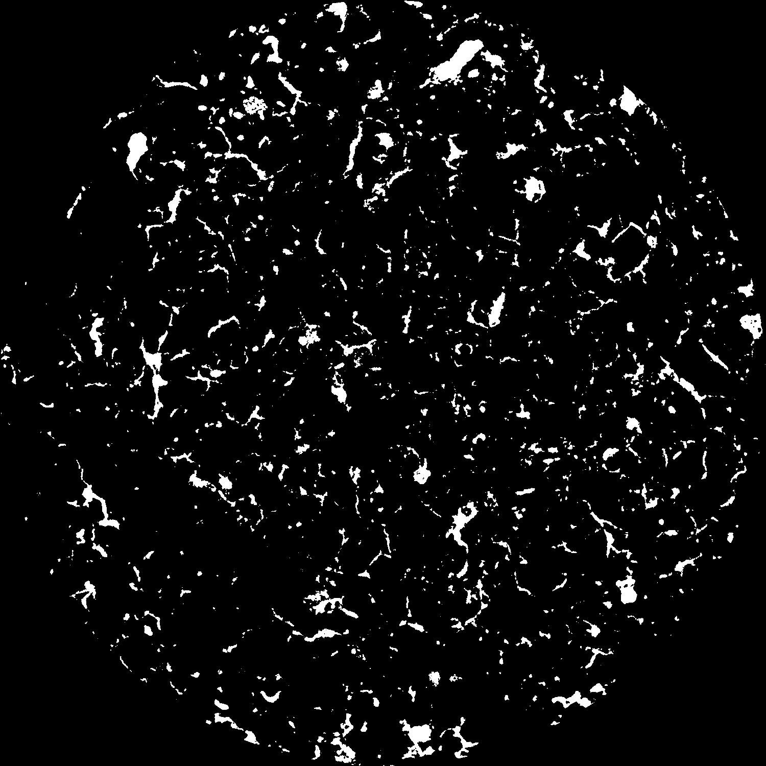
| Pores white? | True |
|---|
|
| XY Plane |

|
|---|
|
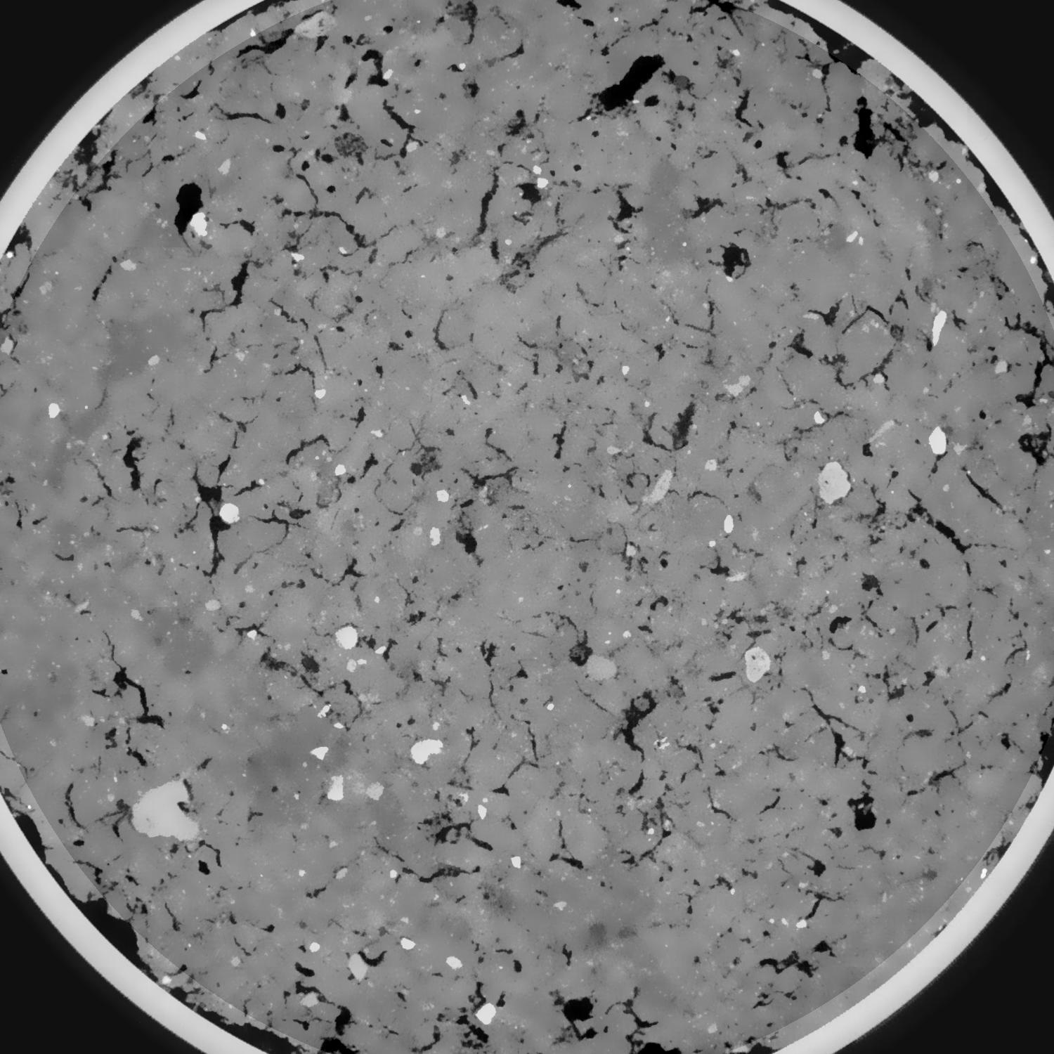
| XY Plane Grey |

|
|---|
|
| Texture | silt clay |
|---|
| Sand | 20.0 |
|---|
| Silt | 40.0 |
|---|
| Clay | 40.0 |
|---|
|
|
Results
| Porosity | Surface | Mean Curvature | Euler | MeanPoreSize | Gamma | PoreDist |
| 0.087145417 | 0.842562812 | 0.41706614 | 0.608920616 | 0.728944104684 | 0.792996039061 | 0.417486286 |
| Opening size | Volume | Surface | MeanCurvature | Euler number |
|---|
| 0.096 | 0.087145417 | 0.842562812 | 0.41706614 | 0.608920616 |
| 0.12 | 0.084750602 | 0.748047145 | 0.305641808 | 0.103580621 |
| 0.144 | 0.082341063 | 0.693044538 | 0.259519171 | 0.031610311 |
| 0.168 | 0.079971152 | 0.648222286 | 0.232570278 | 0.059519486 |
| 0.192 | 0.078685818 | 0.62609573 | 0.228384299 | 0.133499552 |
| 0.216 | 0.070474471 | 0.506478886 | 0.169148874 | 0.091686957 |
| 0.24 | 0.066462715 | 0.45577935 | 0.149045452 | 0.096041903 |
| 0.288 | 0.061307255 | 0.391600561 | 0.125137699 | 0.093658338 |
| 0.336 | 0.051227815 | 0.284214147 | 0.082535243 | 0.065348348 |
| 0.384 | 0.045488178 | 0.230089008 | 0.063014741 | 0.049108266 |
| 0.432 | 0.037933135 | 0.166044838 | 0.04050378 | 0.034860885 |
| 0.48 | 0.034455642 | 0.138618961 | 0.031668005 | 0.025366422 |
| 0.528 | 0.029024573 | 0.099646352 | 0.019126269 | 0.016389321 |
| 0.576 | 0.026785385 | 0.084096852 | 0.014462624 | 0.009765937 |
| 0.624 | 0.024247116 | 0.069225293 | 0.010528284 | 0.007002878 |
| 0.672 | 0.023158546 | 0.062901683 | 0.009000949 | 0.004839618 |
| 0.72 | 0.021292694 | 0.053471085 | 0.006855983 | 0.003563267 |
| 0.96 | 0.016642727 | 0.033790792 | 0.003227557 | 0.001363053 |
| 1.2 | 0.013792612 | 0.025036033 | 0.002117731 | 0.000811578 |
| 1.44 | 0.011407236 | 0.019002847 | 0.001510277 | 0.000362438 |
| 1.68 | 0.009340613 | 0.014311055 | 0.001072603 | 0.000316956 |
| 2.16 | 0.006049227 | 0.0079798 | 0.000558981 | 0.000180509 |
| 2.64 | 0.004211168 | 0.0045441 | 0.000233808 | 0.000071066 |
| 3.12 | 0.002812797 | 0.002586397 | 0.000111755 | 0.000039797 |
| 3.6 | 0.002108101 | 0.001660426 | 0.000055503 | 0.000008528 |
| 4.08 | 0.00184914 | 0.001429487 | 0.000047931 | 0.000002843 |
| 4.56 | 0.00172142 | 0.001345844 | 0.000046786 | 0.000002843 |
| 5.04 | 0.001484887 | 0.001262328 | 0.000047939 | 0.000002843 |
| 5.52 | 0.000705256 | 0.000667012 | 0.000030356 | 0.000002843 |
Reference: An open Soil Structure Library based on X-ray CT data


