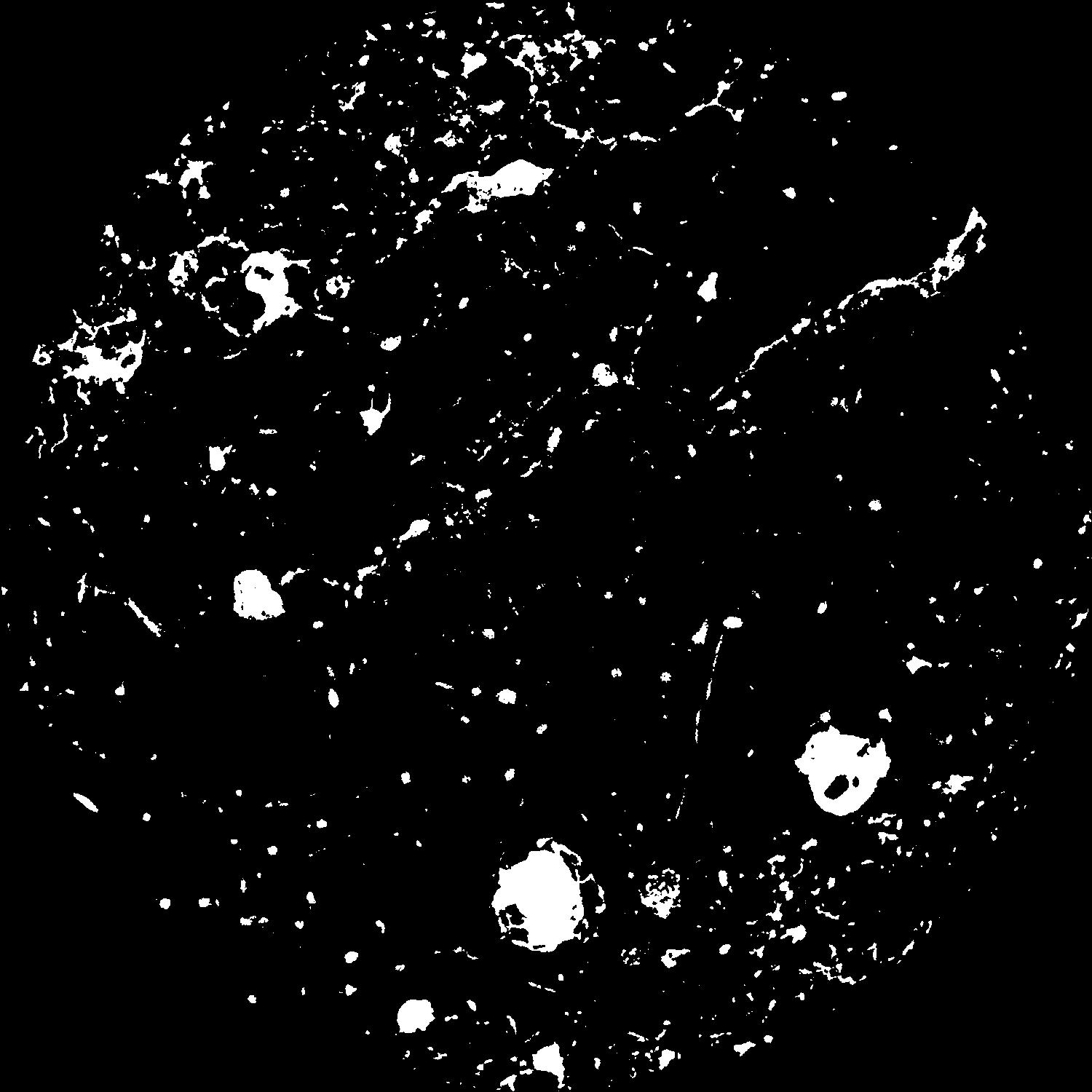
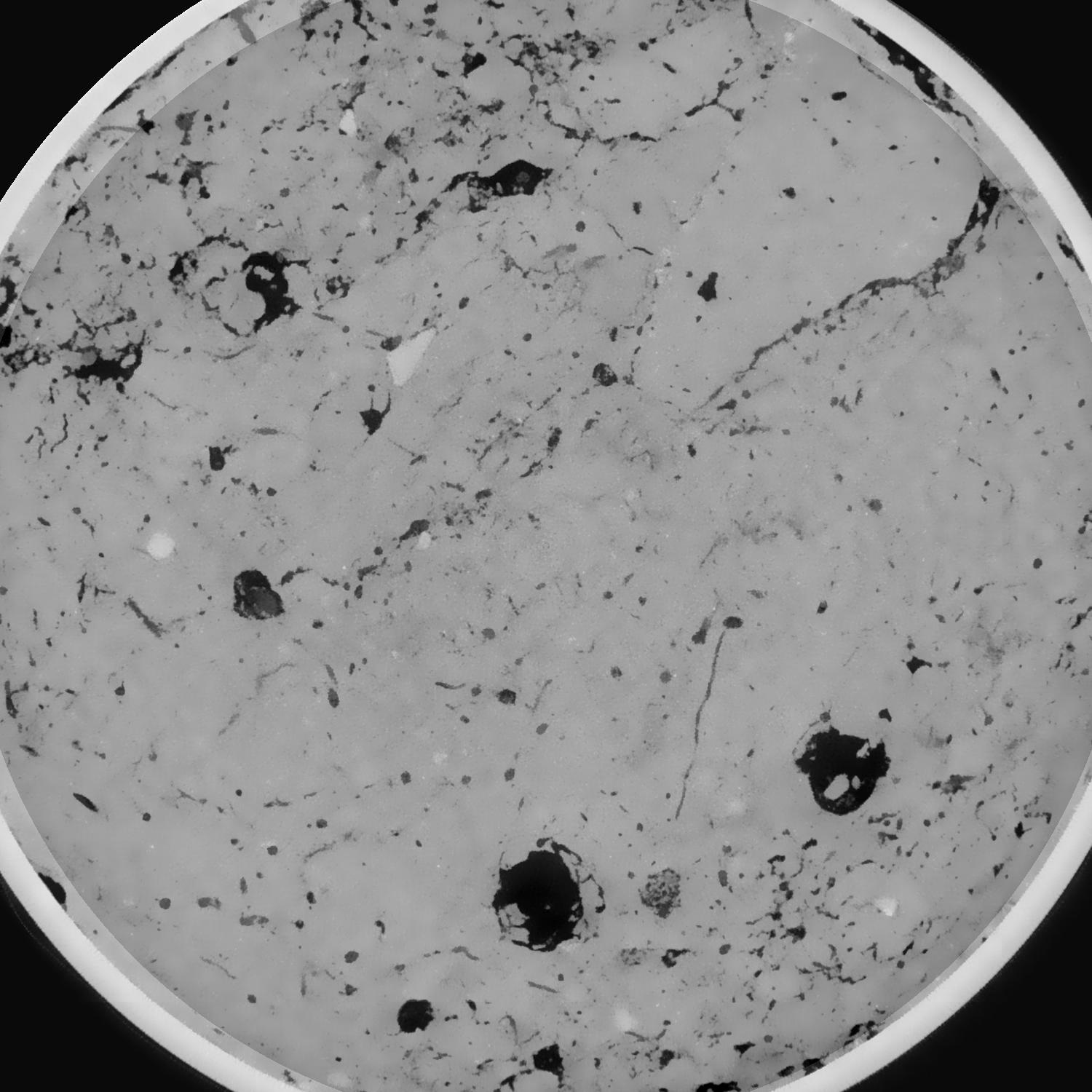
General Information
Internal Identifier leuther
| Soil Type | Haplic Chernozem |
|---|
| Classification | FAO |
|---|
|
| Location | Bad Lauchstädt |
|---|
| Latitude | 51.39178 |
|---|
| Longitude | 11.87701 |
|---|
|
| Landuse | Grassland |
|---|
| Tillage | No tillage |
|---|
| Crop | gras |
|---|
|
| Sampling Depth | 5.0 |
|---|
| Sample Height | 5.0 |
|---|
| Sampling Date | March 1, 2020 |
|---|
| Voxel size | 0.048 |
|---|
| Pores white? | True |
|---|
|
| XY Plane |

|
|---|
|
| XY Plane Grey |

|
|---|
|
| Texture | silty loam |
|---|
| Sand | 11.0 |
|---|
| Silt | 68.0 |
|---|
| Clay | 21.0 |
|---|
|
|
Results
| Porosity | Surface | Mean Curvature | Euler | MeanPoreSize | Gamma | PoreDist |
| 0.058948355 | 0.53935044 | 0.309976341 | 0.839587762 | 0.836369769277 | 0.733440157428 | 0.502473595 |
| Opening size | Volume | Surface | MeanCurvature | Euler number |
|---|
| 0.096 | 0.058948355 | 0.53935044 | 0.309976341 | 0.839587762 |
| 0.12 | 0.057129645 | 0.463869197 | 0.209936388 | 0.189745723 |
| 0.144 | 0.055495939 | 0.42463303 | 0.169762572 | 0.091506449 |
| 0.168 | 0.054011731 | 0.395034271 | 0.14772493 | 0.08663414 |
| 0.192 | 0.053259389 | 0.381644969 | 0.143990587 | 0.127238607 |
| 0.216 | 0.048384616 | 0.306653227 | 0.09857133 | 0.065712208 |
| 0.24 | 0.046065964 | 0.276714243 | 0.084986266 | 0.061348734 |
| 0.288 | 0.043202315 | 0.240508708 | 0.070695236 | 0.053957834 |
| 0.336 | 0.037337443 | 0.178545032 | 0.046201938 | 0.035787591 |
| 0.384 | 0.03387649 | 0.146311147 | 0.034833915 | 0.026226324 |
| 0.432 | 0.029384593 | 0.108933338 | 0.022188291 | 0.018526996 |
| 0.48 | 0.027319194 | 0.093006152 | 0.017255611 | 0.012637018 |
| 0.528 | 0.024031463 | 0.070988522 | 0.011081148 | 0.009429083 |
| 0.576 | 0.022514876 | 0.060859617 | 0.008298595 | 0.005446525 |
| 0.624 | 0.020746003 | 0.050953087 | 0.005914666 | 0.003942761 |
| 0.672 | 0.019999244 | 0.04686482 | 0.005026965 | 0.002552703 |
| 0.72 | 0.018647875 | 0.040575923 | 0.00384954 | 0.001915949 |
| 0.96 | 0.015291002 | 0.02766121 | 0.00189412 | 0.000858481 |
| 1.2 | 0.012930549 | 0.02125768 | 0.001322497 | 0.000511678 |
| 1.44 | 0.010987799 | 0.016952823 | 0.000997667 | 0.000244468 |
| 1.68 | 0.009126347 | 0.013319457 | 0.000752163 | 0.000125077 |
| 2.16 | 0.006147056 | 0.008715142 | 0.00056972 | 0.000099493 |
| 2.64 | 0.003637791 | 0.004760763 | 0.000311896 | 0.000110863 |
| 3.12 | 0.001760436 | 0.002084626 | 0.000129785 | 0.000019899 |
| 3.6 | 0.000911801 | 0.00088876 | 0.000048324 | 0.000014213 |
| 4.08 | 0.000745259 | 0.000632274 | 0.000026255 | 0.000002843 |
| 4.56 | 0.000711143 | 0.000606453 | 0.000025527 | 0.000002843 |
| 5.04 | 0.000669865 | 0.000578298 | 0.000024726 | 0.000002843 |
| 5.52 | 0.000510029 | 0.000485952 | 0.000022797 | 0.000002843 |
Reference: An open Soil Structure Library based on X-ray CT data


