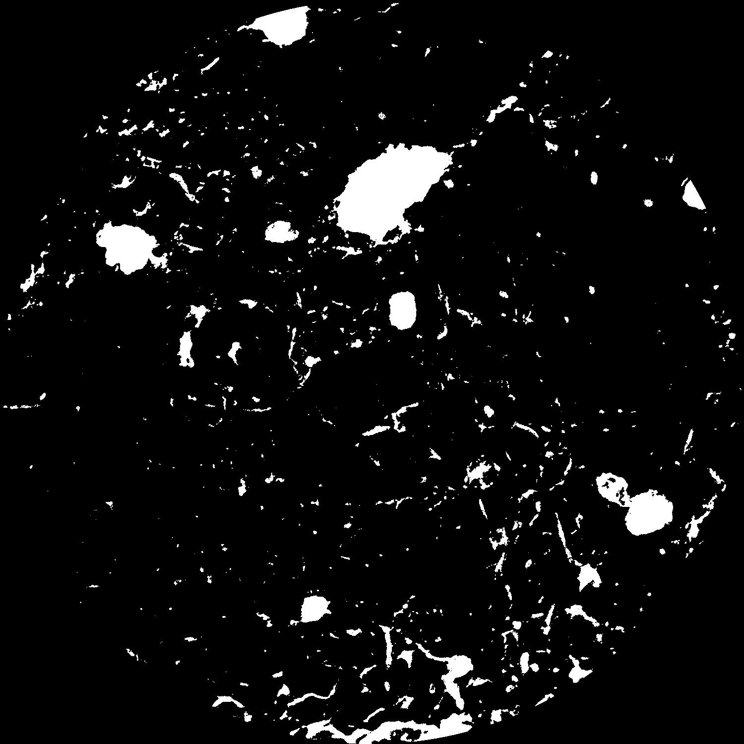
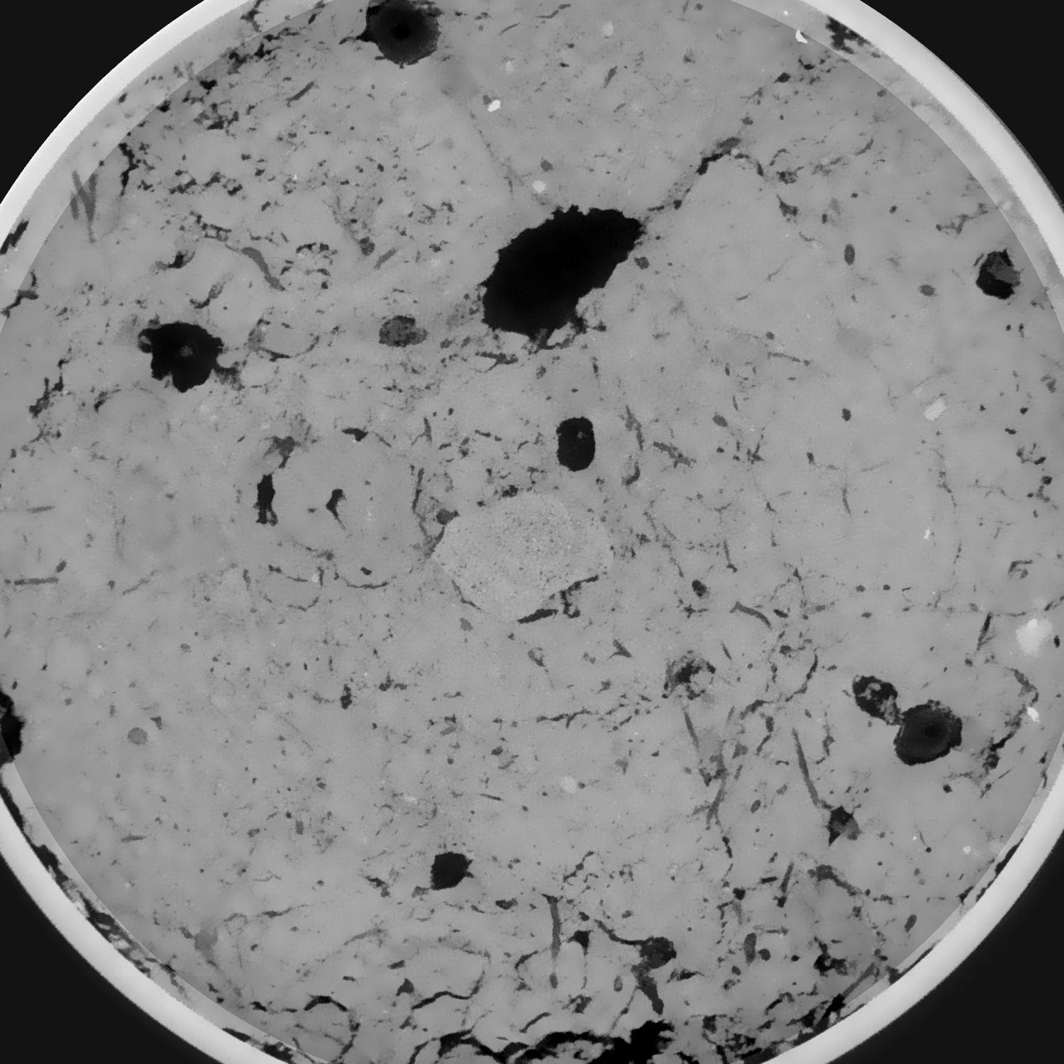
General Information
Internal Identifier leuther
| Soil Type | Haplic Chernozem |
|---|
| Classification | FAO |
|---|
|
| Location | Bad Lauchstädt |
|---|
| Latitude | 51.39178 |
|---|
| Longitude | 11.87701 |
|---|
|
| Landuse | Grassland |
|---|
| Tillage | No tillage |
|---|
| Crop | gras |
|---|
|
| Sampling Depth | 5.0 |
|---|
| Sample Height | 5.0 |
|---|
| Sampling Date | March 1, 2020 |
|---|
| Voxel size | 0.048 |
|---|
| Pores white? | True |
|---|
|
| XY Plane |

|
|---|
|
| XY Plane Grey |

|
|---|
|
| Texture | silty loam |
|---|
| Sand | 11.0 |
|---|
| Silt | 68.0 |
|---|
| Clay | 21.0 |
|---|
|
|
Results
| Porosity | Surface | Mean Curvature | Euler | MeanPoreSize | Gamma | PoreDist |
| 0.081909537 | 0.486003669 | 0.234925132 | 0.626246591 | 1.84204592503 | 0.787720145367 | 0.577085687 |
| Opening size | Volume | Surface | MeanCurvature | Euler number |
|---|
| 0.096 | 0.081909537 | 0.486003669 | 0.234925132 | 0.626246591 |
| 0.12 | 0.080466816 | 0.422542396 | 0.157740747 | 0.14828988 |
| 0.144 | 0.079146233 | 0.391483596 | 0.127646625 | 0.075910228 |
| 0.168 | 0.077980654 | 0.368575887 | 0.111160051 | 0.072078331 |
| 0.192 | 0.077362695 | 0.357636064 | 0.108153513 | 0.10342996 |
| 0.216 | 0.073295885 | 0.296527182 | 0.073064005 | 0.055401902 |
| 0.24 | 0.071351657 | 0.271776182 | 0.062230684 | 0.050747056 |
| 0.288 | 0.068936892 | 0.241540566 | 0.050514743 | 0.0437456 |
| 0.336 | 0.063946014 | 0.190539353 | 0.031338885 | 0.023935145 |
| 0.384 | 0.061108019 | 0.166015095 | 0.023973489 | 0.016251452 |
| 0.432 | 0.057309084 | 0.137883024 | 0.016357313 | 0.010907263 |
| 0.48 | 0.055509983 | 0.125730305 | 0.013624567 | 0.007297092 |
| 0.528 | 0.052327018 | 0.107753997 | 0.010148948 | 0.006034954 |
| 0.576 | 0.050769539 | 0.099077802 | 0.008726016 | 0.003422555 |
| 0.624 | 0.048585255 | 0.08879977 | 0.007170479 | 0.003050168 |
| 0.672 | 0.047620092 | 0.084203087 | 0.006563482 | 0.001927319 |
| 0.72 | 0.045709631 | 0.076424818 | 0.0055142 | 0.001560617 |
| 0.96 | 0.040141056 | 0.057407906 | 0.003718293 | 0.001262138 |
| 1.2 | 0.035734155 | 0.045392655 | 0.002697937 | 0.000747618 |
| 1.44 | 0.032265883 | 0.037329375 | 0.002128113 | 0.000594115 |
| 1.68 | 0.029244073 | 0.030849704 | 0.001604894 | 0.000488936 |
| 2.16 | 0.024782047 | 0.022799941 | 0.001013659 | 0.00027858 |
| 2.64 | 0.021286298 | 0.017344463 | 0.000647143 | 0.00013929 |
| 3.12 | 0.017962706 | 0.013169872 | 0.000427245 | 0.000099493 |
| 3.6 | 0.015598236 | 0.01067937 | 0.000321405 | 0.000048325 |
| 4.08 | 0.013422113 | 0.008399712 | 0.000212874 | 0.000008528 |
| 4.56 | 0.012420848 | 0.007712937 | 0.000198845 | 0.000031269 |
| 5.04 | 0.010720567 | 0.006486435 | 0.000153459 | 0.0 |
| 5.52 | 0.009085507 | 0.005900258 | 0.000158138 | 0.000008528 |
| 6.0 | 0.00448277 | 0.003390213 | 0.000124838 | 0.000011371 |
| 6.48 | 0.00173698 | 0.001573329 | 0.000075413 | 0.000011371 |
Reference: An open Soil Structure Library based on X-ray CT data


