General Information
Internal Identifier leuther
| Soil Type | Haplic Chernozem |
|---|
| Classification | FAO |
|---|
|
| Location | Bad Lauchstädt |
|---|
| Latitude | 51.39178 |
|---|
| Longitude | 11.87701 |
|---|
|
| Landuse | Grassland |
|---|
| Tillage | No tillage |
|---|
| Crop | gras |
|---|
|
| Sampling Depth | 5.0 |
|---|
| Sample Height | 5.0 |
|---|
| Sampling Date | March 1, 2020 |
|---|
| Voxel size | 0.048 |
|---|
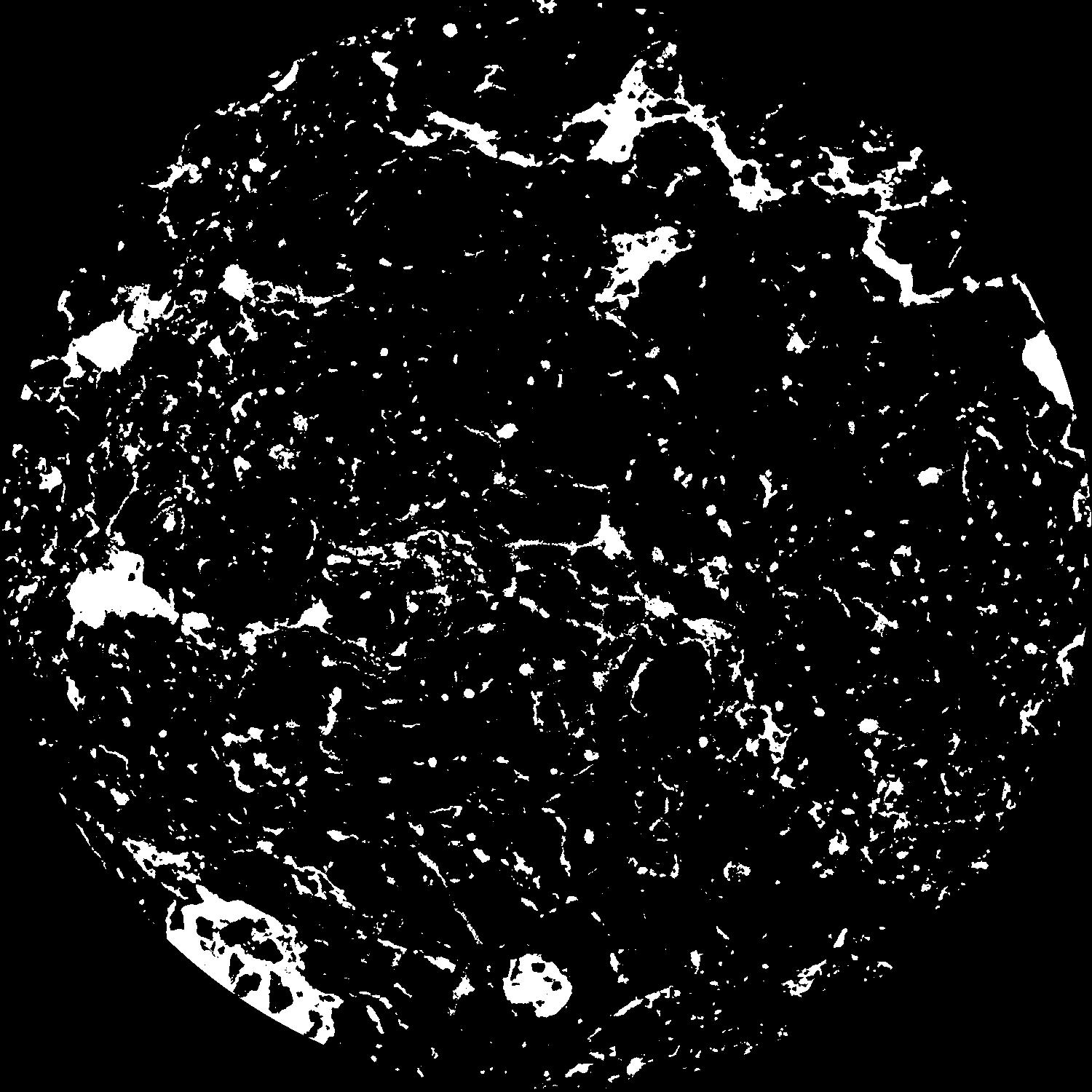
| Pores white? | True |
|---|
|
| XY Plane |

|
|---|
|
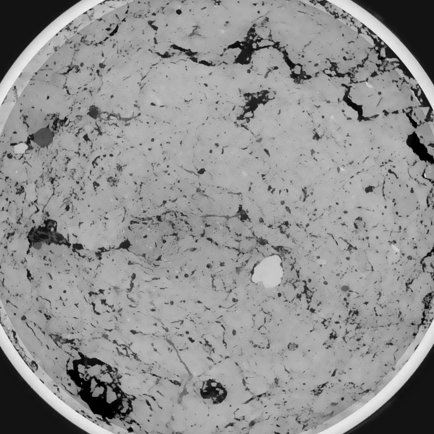
| XY Plane Grey |

|
|---|
|
| Texture | silty loam |
|---|
| Sand | 11.0 |
|---|
| Silt | 68.0 |
|---|
| Clay | 21.0 |
|---|
|
|
Results
| Porosity | Surface | Mean Curvature | Euler | MeanPoreSize | Gamma | PoreDist |
| 0.093312089 | 0.943556679 | 0.533901937 | 1.272172875 | 0.688265420379 | 0.788390292069 | 0.349330628 |
| Opening size | Volume | Surface | MeanCurvature | Euler number |
|---|
| 0.096 | 0.093312089 | 0.943556679 | 0.533901937 | 1.272172875 |
| 0.12 | 0.089990467 | 0.810043831 | 0.357128474 | 0.249589272 |
| 0.144 | 0.08679694 | 0.734109729 | 0.284453232 | 0.083578287 |
| 0.168 | 0.083931455 | 0.677773823 | 0.245358405 | 0.088827247 |
| 0.192 | 0.082482551 | 0.652439136 | 0.239546461 | 0.172563302 |
| 0.216 | 0.073279346 | 0.513727981 | 0.161951452 | 0.078988822 |
| 0.24 | 0.06900279 | 0.459291344 | 0.139186363 | 0.078023741 |
| 0.288 | 0.063676277 | 0.393206683 | 0.114964265 | 0.077128305 |
| 0.336 | 0.053039014 | 0.281921794 | 0.072490225 | 0.048625015 |
| 0.384 | 0.047156523 | 0.22856023 | 0.054947807 | 0.035166471 |
| 0.432 | 0.039494826 | 0.166096453 | 0.034967198 | 0.024470986 |
| 0.48 | 0.036154531 | 0.141176208 | 0.027742827 | 0.016491656 |
| 0.528 | 0.030795731 | 0.105924774 | 0.018362819 | 0.012557423 |
| 0.576 | 0.028373396 | 0.090138456 | 0.014220095 | 0.007233133 |
| 0.624 | 0.025432425 | 0.07396845 | 0.010591566 | 0.005197793 |
| 0.672 | 0.024156806 | 0.066897633 | 0.009078825 | 0.003500728 |
| 0.72 | 0.021876817 | 0.055970024 | 0.006937596 | 0.002747425 |
| 0.96 | 0.016453501 | 0.033658821 | 0.003238709 | 0.00123229 |
| 1.2 | 0.013284436 | 0.023809305 | 0.002003335 | 0.000622541 |
| 1.44 | 0.010823388 | 0.017406693 | 0.001329425 | 0.000366702 |
| 1.68 | 0.008910148 | 0.013041701 | 0.000902279 | 0.000187615 |
| 2.16 | 0.006204842 | 0.007705334 | 0.000446888 | 0.000093808 |
| 2.64 | 0.004800663 | 0.005198764 | 0.000232933 | 0.000031269 |
| 3.12 | 0.0040326 | 0.004341075 | 0.000202205 | 0.000025584 |
| 3.6 | 0.002575469 | 0.002869416 | 0.000156886 | 0.000028427 |
| 4.08 | 0.001194046 | 0.001319384 | 0.00007249 | 0.000011371 |
Reference: An open Soil Structure Library based on X-ray CT data


