General Information
Internal Identifier leuther
| Soil Type | Haplic Chernozem |
|---|
| Classification | FAO |
|---|
|
| Location | Bad Lauchstädt |
|---|
| Latitude | 51.39178 |
|---|
| Longitude | 11.87701 |
|---|
|
| Landuse | Grassland |
|---|
| Tillage | No tillage |
|---|
| Crop | gras |
|---|
|
| Sampling Depth | 5.0 |
|---|
| Sample Height | 5.0 |
|---|
| Sampling Date | March 1, 2020 |
|---|
| Voxel size | 0.048 |
|---|
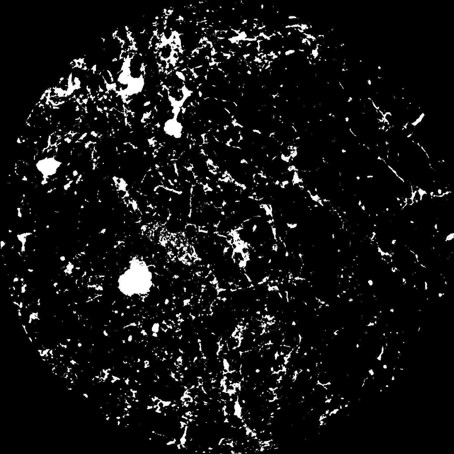
| Pores white? | True |
|---|
|
| XY Plane |

|
|---|
|
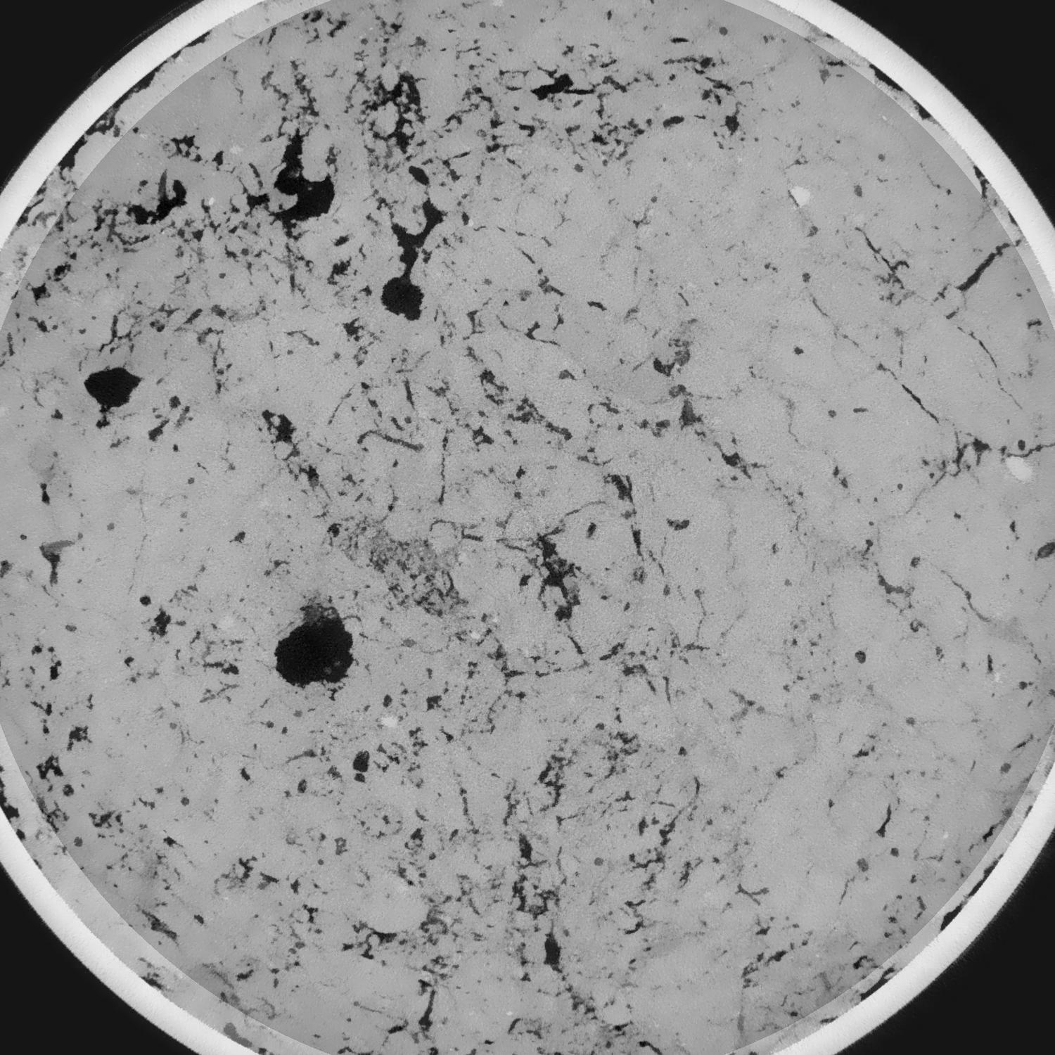
| XY Plane Grey |

|
|---|
|
| Texture | silty loam |
|---|
| Sand | 11.0 |
|---|
| Silt | 68.0 |
|---|
| Clay | 21.0 |
|---|
|
|
Results
| Porosity | Surface | Mean Curvature | Euler | MeanPoreSize | Gamma | PoreDist |
| 0.084034273 | 0.880521297 | 0.4660306 | 0.889076744 | 0.576226245359 | 0.741884241735 | 0.405977375 |
| Opening size | Volume | Surface | MeanCurvature | Euler number |
|---|
| 0.096 | 0.084034273 | 0.880521297 | 0.4660306 | 0.889076744 |
| 0.12 | 0.081341865 | 0.770590559 | 0.328644719 | 0.129211476 |
| 0.144 | 0.078927808 | 0.713552293 | 0.274530795 | 0.024626365 |
| 0.168 | 0.07657915 | 0.667714584 | 0.243558145 | 0.043111811 |
| 0.192 | 0.075293475 | 0.64506338 | 0.238418826 | 0.124465444 |
| 0.216 | 0.066895964 | 0.519852498 | 0.171462291 | 0.068527519 |
| 0.24 | 0.062660029 | 0.465871643 | 0.149644368 | 0.076913934 |
| 0.288 | 0.057268936 | 0.398499031 | 0.125358967 | 0.080381914 |
| 0.336 | 0.046379943 | 0.283521703 | 0.081731519 | 0.056747215 |
| 0.384 | 0.040137411 | 0.225187093 | 0.061595311 | 0.042164315 |
| 0.432 | 0.032260103 | 0.158853026 | 0.03907288 | 0.02946216 |
| 0.48 | 0.028760958 | 0.131967238 | 0.030953097 | 0.021483241 |
| 0.528 | 0.023194029 | 0.093246712 | 0.019539185 | 0.014993244 |
| 0.576 | 0.020782207 | 0.076812398 | 0.014899825 | 0.009368106 |
| 0.624 | 0.017896093 | 0.059796655 | 0.010545306 | 0.00675786 |
| 0.672 | 0.016664541 | 0.052479499 | 0.008700972 | 0.004669093 |
| 0.72 | 0.014619181 | 0.041795387 | 0.006179618 | 0.003241436 |
| 0.96 | 0.010100453 | 0.02197915 | 0.002345457 | 0.001005914 |
| 1.2 | 0.00771134 | 0.014026344 | 0.001195891 | 0.000413194 |
| 1.44 | 0.006367012 | 0.010515009 | 0.000795136 | 0.000233668 |
| 1.68 | 0.005266568 | 0.008176685 | 0.000601093 | 0.000208022 |
| 2.16 | 0.003316438 | 0.004374762 | 0.000287437 | 0.00007124 |
| 2.64 | 0.002335516 | 0.002753383 | 0.000162114 | 0.000045594 |
| 3.12 | 0.001606141 | 0.00169391 | 0.000086119 | 0.000011398 |
| 3.6 | 0.001128549 | 0.001207798 | 0.000066721 | 0.000008549 |
| 4.08 | 0.000619461 | 0.000570631 | 0.000025156 | 0.00000285 |
| 4.56 | 0.000514442 | 0.000488045 | 0.000022751 | 0.00000285 |
| 5.04 | 0.000206917 | 0.00023817 | 0.000014709 | 0.00000285 |
Reference: An open Soil Structure Library based on X-ray CT data


