General Information
Internal Identifier leuther
| Soil Type | Haplic Chernozem |
|---|
| Classification | FAO |
|---|
|
| Location | Bad Lauchstädt |
|---|
| Latitude | 51.39178 |
|---|
| Longitude | 11.87701 |
|---|
|
| Landuse | Grassland |
|---|
| Tillage | No tillage |
|---|
| Crop | gras |
|---|
|
| Sampling Depth | 5.0 |
|---|
| Sample Height | 5.0 |
|---|
| Sampling Date | March 1, 2020 |
|---|
| Voxel size | 0.048 |
|---|
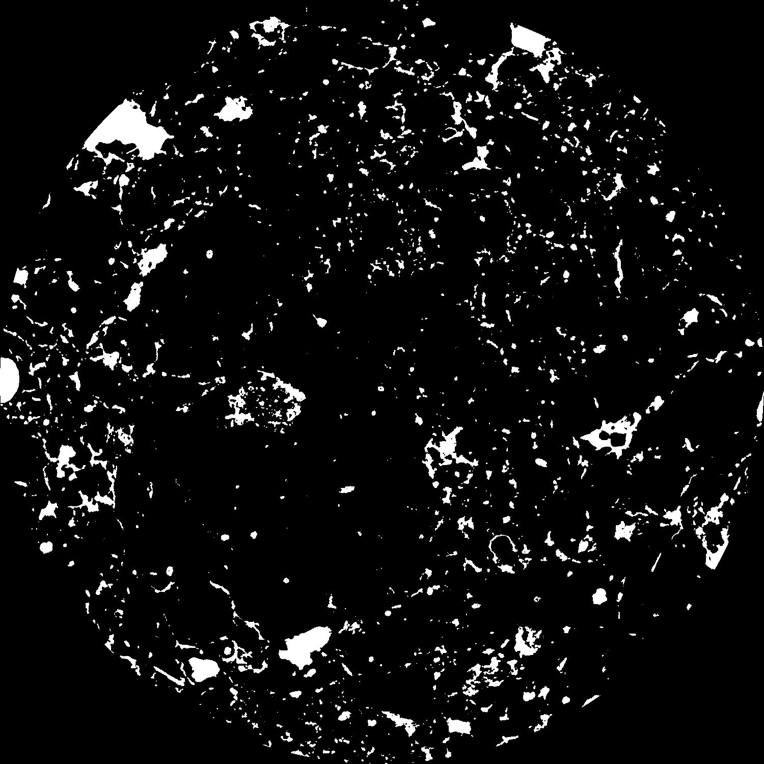
| Pores white? | True |
|---|
|
| XY Plane |

|
|---|
|
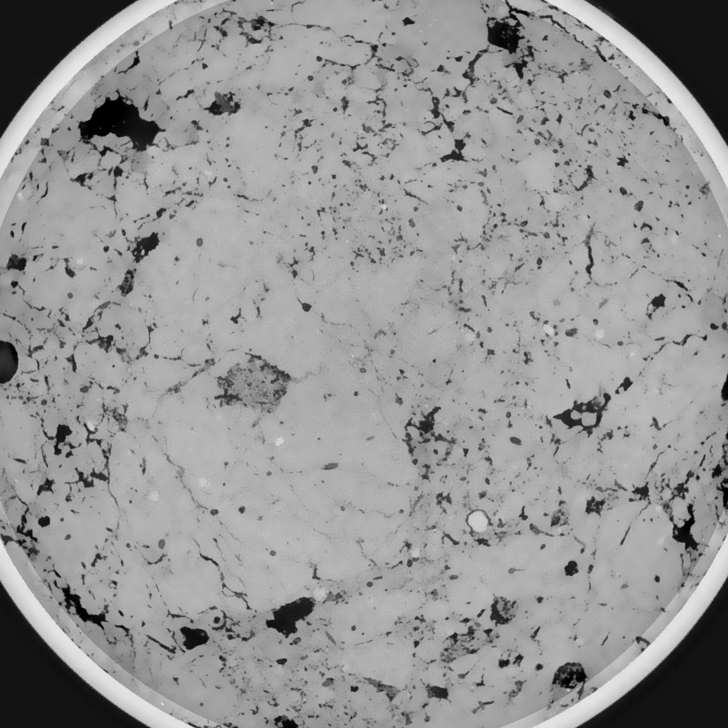
| XY Plane Grey |

|
|---|
|
| Texture | silty loam |
|---|
| Sand | 11.0 |
|---|
| Silt | 68.0 |
|---|
| Clay | 21.0 |
|---|
|
|
Results
| Porosity | Surface | Mean Curvature | Euler | MeanPoreSize | Gamma | PoreDist |
| 0.086158956 | 0.851763972 | 0.507490528 | 1.237301009 | 0.715130128434 | 0.757816584836 | 0.386769063 |
| Opening size | Volume | Surface | MeanCurvature | Euler number |
|---|
| 0.096 | 0.086158956 | 0.851763972 | 0.507490528 | 1.237301009 |
| 0.12 | 0.082998146 | 0.726159749 | 0.338794855 | 0.273627068 |
| 0.144 | 0.080136635 | 0.657010735 | 0.26983008 | 0.121403534 |
| 0.168 | 0.077628584 | 0.606726456 | 0.232819894 | 0.117687637 |
| 0.192 | 0.076352508 | 0.584014273 | 0.226750272 | 0.191241875 |
| 0.216 | 0.068501538 | 0.462569321 | 0.154098 | 0.10319165 |
| 0.24 | 0.064790428 | 0.414179272 | 0.132219664 | 0.098207675 |
| 0.288 | 0.060171185 | 0.355022845 | 0.1082752 | 0.088407852 |
| 0.336 | 0.051275932 | 0.259065697 | 0.068653021 | 0.055982093 |
| 0.384 | 0.046290705 | 0.211970113 | 0.051428037 | 0.039612485 |
| 0.432 | 0.039988203 | 0.159137901 | 0.033166082 | 0.027116928 |
| 0.48 | 0.037206249 | 0.137714718 | 0.026526714 | 0.019308985 |
| 0.528 | 0.032654962 | 0.106929919 | 0.017564959 | 0.013803531 |
| 0.576 | 0.03060761 | 0.093310392 | 0.013846 | 0.008349369 |
| 0.624 | 0.028106317 | 0.079447886 | 0.01056905 | 0.00612952 |
| 0.672 | 0.027017609 | 0.073396348 | 0.009256797 | 0.004180384 |
| 0.72 | 0.024984905 | 0.063686873 | 0.00728141 | 0.003314101 |
| 0.96 | 0.019710047 | 0.042924757 | 0.004022602 | 0.001493198 |
| 1.2 | 0.015825859 | 0.031412692 | 0.002764567 | 0.001003064 |
| 1.44 | 0.012620321 | 0.023308102 | 0.001967596 | 0.000512931 |
| 1.68 | 0.009641265 | 0.016614002 | 0.001354539 | 0.000484434 |
| 2.16 | 0.005685734 | 0.008559431 | 0.000605519 | 0.000125383 |
| 2.64 | 0.003076556 | 0.00431427 | 0.000297005 | 0.000056992 |
| 3.12 | 0.001260942 | 0.001495195 | 0.000081041 | 0.000008549 |
| 3.6 | 0.000786459 | 0.001001949 | 0.000065013 | 0.000011398 |
| 4.08 | 0.000460612 | 0.000639518 | 0.000045073 | 0.000008549 |
Reference: An open Soil Structure Library based on X-ray CT data


