General Information
Internal Identifier leuther
| Soil Type | Haplic Chernozem |
|---|
| Classification | FAO |
|---|
|
| Location | Bad Lauchstädt |
|---|
| Latitude | 51.39178 |
|---|
| Longitude | 11.87701 |
|---|
|
| Landuse | Grassland |
|---|
| Tillage | No tillage |
|---|
| Crop | gras |
|---|
|
| Sampling Depth | 5.0 |
|---|
| Sample Height | 5.0 |
|---|
| Sampling Date | March 1, 2020 |
|---|
| Voxel size | 0.048 |
|---|
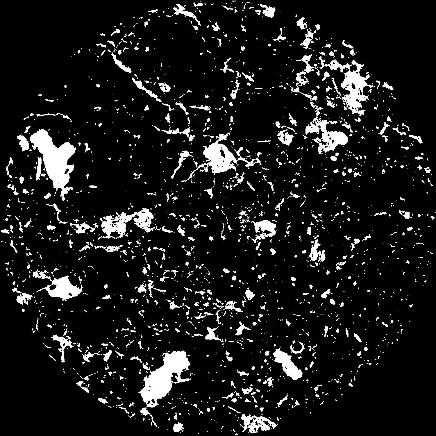
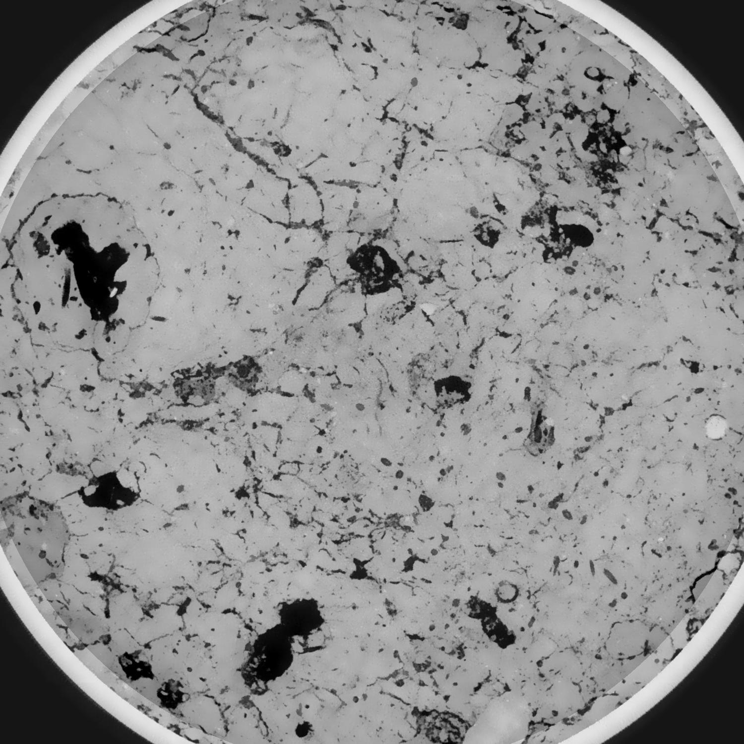
| Pores white? | True |
|---|
|
| XY Plane |

|
|---|
|
| XY Plane Grey |

|
|---|
|
| Texture | silty loam |
|---|
| Sand | 11.0 |
|---|
| Silt | 68.0 |
|---|
| Clay | 21.0 |
|---|
|
|
Results
| Porosity | Surface | Mean Curvature | Euler | MeanPoreSize | Gamma | PoreDist |
| 0.1074484 | 1.000127034 | 0.526173714 | 1.26804977 | 0.682229390416 | 0.838938491814 | 0.353150838 |
| Opening size | Volume | Surface | MeanCurvature | Euler number |
|---|
| 0.096 | 0.1074484 | 1.000127034 | 0.526173714 | 1.26804977 |
| 0.12 | 0.104013069 | 0.848925899 | 0.343023104 | 0.191139289 |
| 0.144 | 0.100754708 | 0.771703969 | 0.26866075 | 0.037932638 |
| 0.168 | 0.098006289 | 0.717456664 | 0.230626859 | 0.05286604 |
| 0.192 | 0.096649674 | 0.693349639 | 0.22479834 | 0.139391722 |
| 0.216 | 0.088266512 | 0.568726043 | 0.156109272 | 0.058454134 |
| 0.24 | 0.084225726 | 0.519020043 | 0.136810101 | 0.062167181 |
| 0.288 | 0.079197596 | 0.457242356 | 0.115344804 | 0.066481497 |
| 0.336 | 0.068381111 | 0.35136763 | 0.081034792 | 0.047618476 |
| 0.384 | 0.06154888 | 0.29296023 | 0.064920715 | 0.038667838 |
| 0.432 | 0.052060551 | 0.219711261 | 0.04460024 | 0.033266395 |
| 0.48 | 0.047529142 | 0.187058723 | 0.03602017 | 0.025049533 |
| 0.528 | 0.039954223 | 0.138367309 | 0.023649807 | 0.019454315 |
| 0.576 | 0.036470641 | 0.11586296 | 0.017872644 | 0.011937033 |
| 0.624 | 0.032293473 | 0.09258522 | 0.012340562 | 0.008310899 |
| 0.672 | 0.030571591 | 0.083103541 | 0.010235007 | 0.005495481 |
| 0.72 | 0.027597111 | 0.069046232 | 0.007441611 | 0.003993734 |
| 0.96 | 0.020816116 | 0.043366949 | 0.003590518 | 0.001145545 |
| 1.2 | 0.016247918 | 0.030676285 | 0.002449899 | 0.000846335 |
| 1.44 | 0.013016183 | 0.02295828 | 0.001765059 | 0.000430292 |
| 1.68 | 0.010300704 | 0.017281728 | 0.001327066 | 0.000307758 |
| 2.16 | 0.006125617 | 0.009457493 | 0.000720306 | 0.000159578 |
| 2.64 | 0.002904801 | 0.004136107 | 0.000311799 | 0.00007124 |
| 3.12 | 0.001203501 | 0.00128045 | 0.000068804 | 0.000011398 |
| 3.6 | 0.000874161 | 0.000862549 | 0.000041874 | 0.000005699 |
| 4.08 | 0.000742532 | 0.000754815 | 0.000038563 | 0.000005699 |
| 4.56 | 0.000533273 | 0.000576663 | 0.000032609 | 0.000005699 |
Reference: An open Soil Structure Library based on X-ray CT data


