General Information
Internal Identifier leuther
| Soil Type | Haplic Chernozem |
|---|
| Classification | FAO |
|---|
|
| Location | Bad Lauchstädt |
|---|
| Latitude | 51.39178 |
|---|
| Longitude | 11.87701 |
|---|
|
| Landuse | Grassland |
|---|
| Tillage | No tillage |
|---|
| Crop | gras |
|---|
|
| Sampling Depth | 5.0 |
|---|
| Sample Height | 3.0 |
|---|
| Sampling Date | June 1, 2021 |
|---|
| Voxel size | 0.015 |
|---|
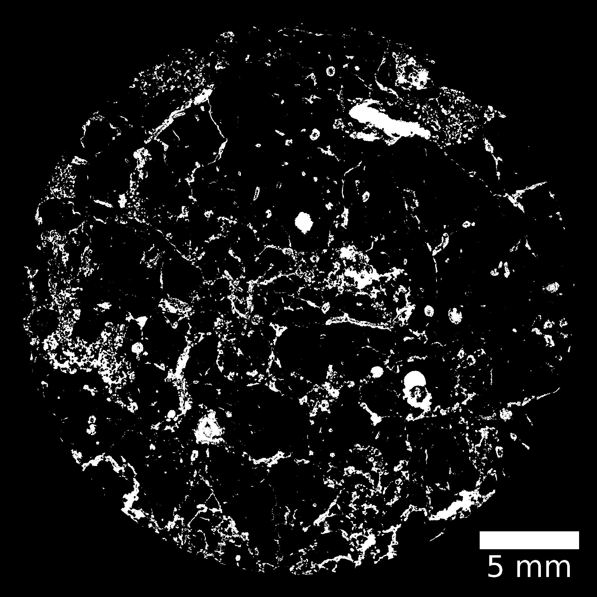
| Pores white? | True |
|---|
|
| XY Plane |

|
|---|
|
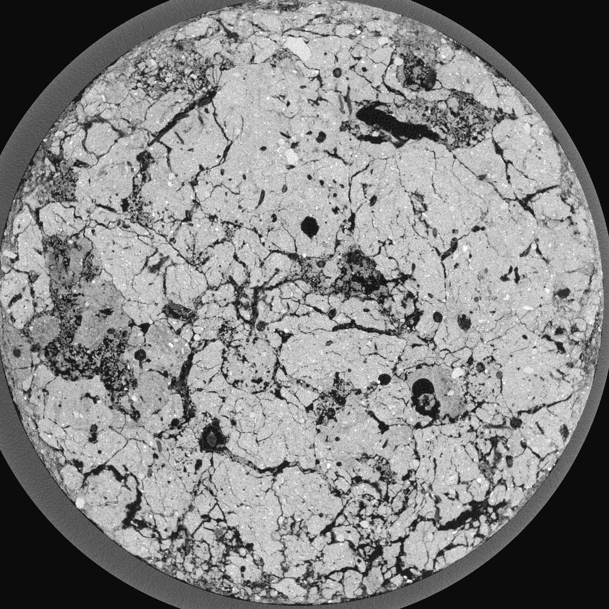
| XY Plane Grey |

|
|---|
|
| Texture | silty loam |
|---|
| Sand | 11.0 |
|---|
| Silt | 68.0 |
|---|
| Clay | 21.0 |
|---|
|
|
Results
| Porosity | Surface | Mean Curvature | Euler | MeanPoreSize | Gamma | PoreDist |
| 0.321485201 | 13.818448194 | 16.951153705 | -73.204824311 | 0.111717262996 | 0.862801909859 | 0.123376263 |
| Opening size | Volume | Surface | MeanCurvature | Euler number |
|---|
| 0.03 | 0.321485201 | 13.818448194 | 16.951153705 | -73.204824311 |
| 0.0375 | 0.305554191 | 11.271080574 | 12.529836516 | -63.891654739 |
| 0.045 | 0.283533522 | 9.95054018 | 10.946457625 | -41.899356953 |
| 0.0525 | 0.265601795 | 8.98248854 | 9.898937462 | -16.1752816 |
| 0.06 | 0.256349848 | 8.489707406 | 9.89520625 | 7.124270463 |
| 0.0675 | 0.202646559 | 6.214299778 | 7.248157833 | 9.354209219 |
| 0.075 | 0.176404507 | 5.245642939 | 6.272969464 | 11.619526981 |
| 0.09 | 0.150631619 | 4.261153452 | 5.261713221 | 13.119950631 |
| 0.105 | 0.095099901 | 2.400592341 | 3.010484138 | 9.841731924 |
| 0.12 | 0.06828102 | 1.572750533 | 1.978889082 | 7.147974397 |
| 0.135 | 0.040544872 | 0.734398501 | 0.823577024 | 3.415135461 |
| 0.15 | 0.031804009 | 0.489930429 | 0.49873755 | 1.947614287 |
| 0.165 | 0.021522334 | 0.225645753 | 0.15524858 | 0.497075036 |
| 0.18 | 0.018854352 | 0.164371629 | 0.087990797 | 0.228194589 |
| 0.195 | 0.016445764 | 0.119400761 | 0.048640938 | 0.119934831 |
| 0.21 | 0.015714511 | 0.106446404 | 0.038440622 | 0.084555825 |
| 0.225 | 0.014647661 | 0.090033498 | 0.026247881 | 0.049176819 |
| 0.3 | 0.012497246 | 0.065797914 | 0.014915786 | 0.024057724 |
| 0.375 | 0.010896811 | 0.051599956 | 0.009478563 | 0.015212973 |
| 0.45 | 0.009561743 | 0.041544281 | 0.005597648 | 0.00070758 |
| 0.525 | 0.008578576 | 0.036733851 | 0.00550989 | 0.0 |
| 0.675 | 0.005858268 | 0.024974543 | 0.004941625 | 0.005660641 |
| 0.825 | 0.003059866 | 0.010192979 | 0.001473122 | 0.00035379 |
| 0.975 | 0.00241174 | 0.007333223 | 0.000954346 | 0.00106137 |
| 1.125 | 0.002138817 | 0.006782637 | 0.00091189 | 0.00035379 |
| 1.275 | 0.001464873 | 0.004956131 | 0.00082111 | 0.00035379 |
Reference: An open Soil Structure Library based on X-ray CT data


