General Information
Internal Identifier leuther
| Soil Type | Haplic Chernozem |
|---|
| Classification | FAO |
|---|
|
| Location | Bad Lauchstädt |
|---|
| Latitude | 51.39178 |
|---|
| Longitude | 11.87701 |
|---|
|
| Landuse | Grassland |
|---|
| Tillage | No tillage |
|---|
| Crop | gras |
|---|
|
| Sampling Depth | 5.0 |
|---|
| Sample Height | 3.0 |
|---|
| Sampling Date | June 1, 2021 |
|---|
| Voxel size | 0.015 |
|---|
| Pores white? | True |
|---|
|
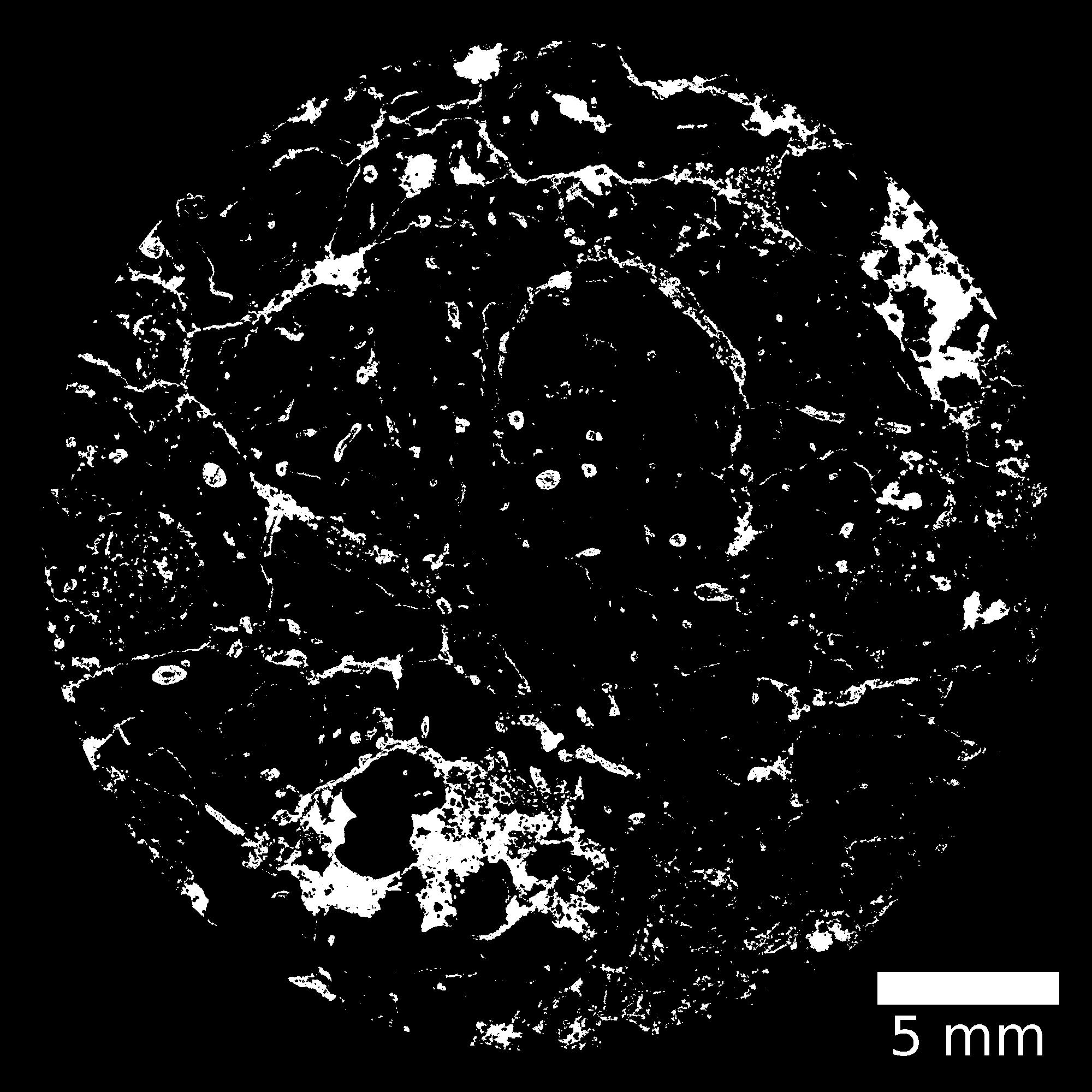
| XY Plane |

|
|---|
|
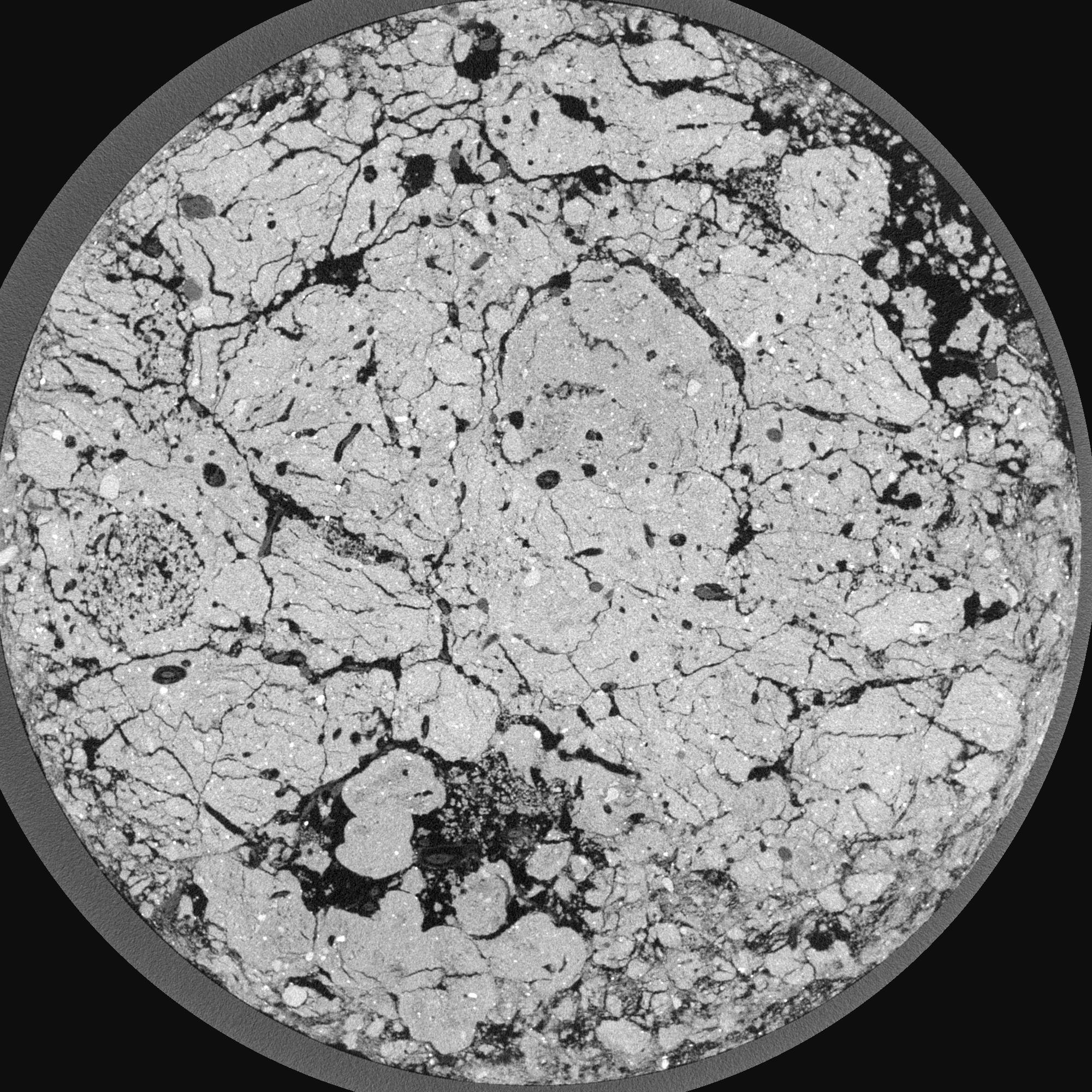
| XY Plane Grey |

|
|---|
|
| Texture | silty loam |
|---|
| Sand | 11.0 |
|---|
| Silt | 68.0 |
|---|
| Clay | 21.0 |
|---|
|
|
Results
| Porosity | Surface | Mean Curvature | Euler | MeanPoreSize | Gamma | PoreDist |
| 0.361039333 | 13.511127532 | 13.270625783 | -83.032758423 | 0.145018736907 | 0.881294302962 | 0.127781839 |
| Opening size | Volume | Surface | MeanCurvature | Euler number |
|---|
| 0.03 | 0.361039333 | 13.511127532 | 13.270625783 | -83.032758423 |
| 0.0375 | 0.347390372 | 11.134523343 | 10.243689683 | -64.099683295 |
| 0.045 | 0.327794419 | 10.015466084 | 9.225045173 | -46.994995205 |
| 0.0525 | 0.311695927 | 9.183522182 | 8.544327307 | -23.247544924 |
| 0.06 | 0.303173046 | 8.736826294 | 8.613892783 | -1.616113 |
| 0.0675 | 0.251610497 | 6.68300703 | 6.79792798 | 3.263005735 |
| 0.075 | 0.225299894 | 5.758517496 | 6.064170595 | 7.205995967 |
| 0.09 | 0.198875516 | 4.778763522 | 5.211278629 | 10.641651252 |
| 0.105 | 0.139891318 | 2.861885711 | 3.112087648 | 9.607169113 |
| 0.12 | 0.110709818 | 1.985955165 | 2.088193269 | 7.160710839 |
| 0.135 | 0.079157531 | 1.074721946 | 0.918974445 | 3.665265034 |
| 0.15 | 0.068377869 | 0.790536501 | 0.5759981 | 2.273808724 |
| 0.165 | 0.054485794 | 0.466411065 | 0.206450562 | 0.815839881 |
| 0.18 | 0.049982636 | 0.373561509 | 0.11977962 | 0.398721399 |
| 0.195 | 0.045227254 | 0.294760141 | 0.063222207 | 0.220411208 |
| 0.21 | 0.043631552 | 0.270221591 | 0.04865024 | 0.154960047 |
| 0.225 | 0.040942694 | 0.235035785 | 0.030909581 | 0.100830167 |
| 0.3 | 0.034748901 | 0.178468407 | 0.021071346 | 0.037855537 |
| 0.375 | 0.029481411 | 0.141424838 | 0.017194376 | 0.011675072 |
| 0.45 | 0.025175626 | 0.115371146 | 0.015526026 | 0.013444022 |
| 0.525 | 0.020927834 | 0.093665311 | 0.012805727 | 0.004953061 |
| 0.675 | 0.012776212 | 0.057329333 | 0.010628345 | 0.003184111 |
| 0.825 | 0.007620216 | 0.035895117 | 0.007990342 | 0.003891691 |
| 0.975 | 0.001319432 | 0.006458377 | 0.001636363 | 0.00106137 |
Reference: An open Soil Structure Library based on X-ray CT data


