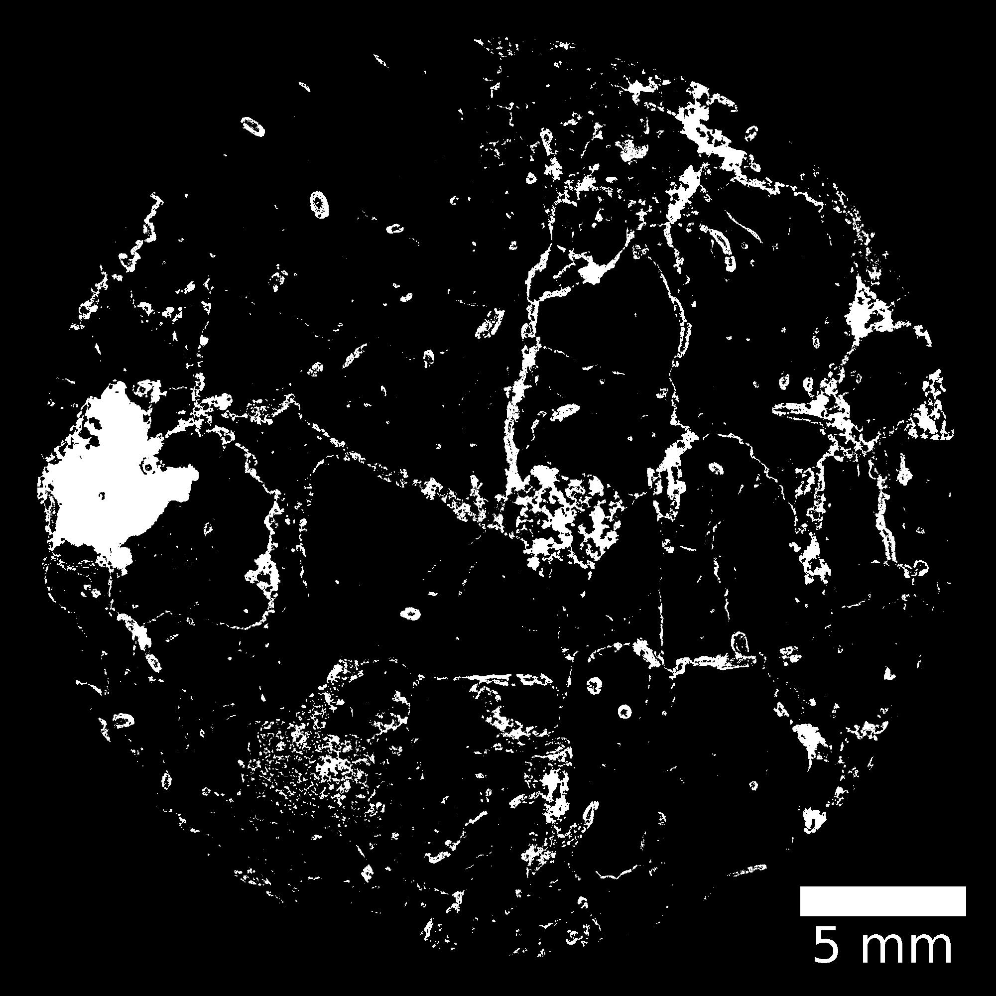
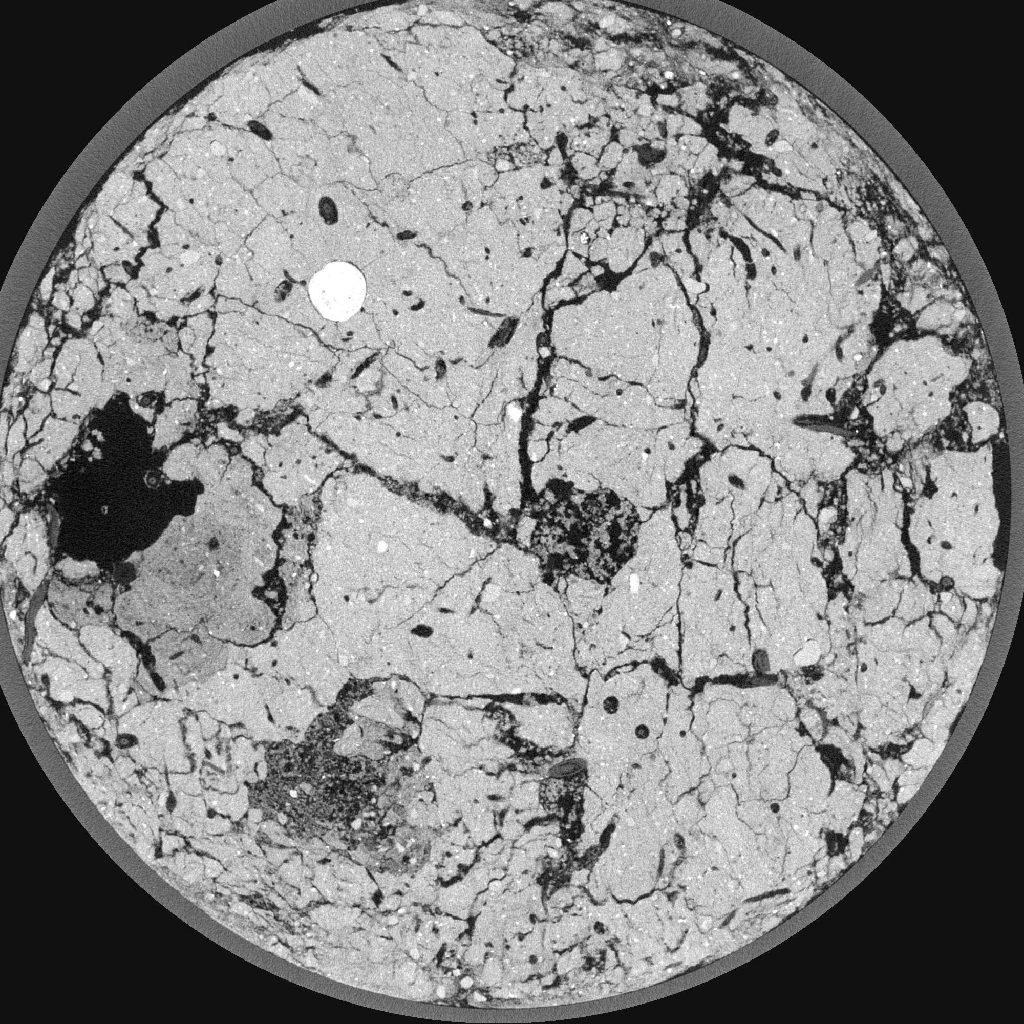
General Information
Internal Identifier leuther
| Soil Type | Haplic Chernozem |
|---|
| Classification | FAO |
|---|
|
| Location | Bad Lauchstädt |
|---|
| Latitude | 51.39178 |
|---|
| Longitude | 11.87701 |
|---|
|
| Landuse | Grassland |
|---|
| Tillage | No tillage |
|---|
| Crop | gras |
|---|
|
| Sampling Depth | 5.0 |
|---|
| Sample Height | 3.0 |
|---|
| Sampling Date | June 1, 2021 |
|---|
| Voxel size | 0.015 |
|---|
| Pores white? | True |
|---|
|
| XY Plane |

|
|---|
|
| XY Plane Grey |

|
|---|
|
| Texture | silty loam |
|---|
| Sand | 11.0 |
|---|
| Silt | 68.0 |
|---|
| Clay | 21.0 |
|---|
|
|
Results
| Porosity | Surface | Mean Curvature | Euler | MeanPoreSize | Gamma | PoreDist |
| 0.345822402 | 12.091217567 | 11.367782321 | -66.332098582 | 0.190111550298 | 0.83595525157 | 0.153802126 |
| Opening size | Volume | Surface | MeanCurvature | Euler number |
|---|
| 0.03 | 0.345822402 | 12.091217567 | 11.367782321 | -66.332098582 |
| 0.0375 | 0.333294787 | 9.842032449 | 8.579419656 | -54.934044179 |
| 0.045 | 0.315622276 | 8.83925071 | 7.618770797 | -40.565922212 |
| 0.0525 | 0.301657749 | 8.115699642 | 6.983673014 | -21.08801039 |
| 0.06 | 0.294390781 | 7.73394833 | 7.017418521 | -3.742745058 |
| 0.0675 | 0.250726979 | 6.014296778 | 5.570125714 | 0.952049055 |
| 0.075 | 0.228453171 | 5.237120104 | 4.963896649 | 4.132621705 |
| 0.09 | 0.206221719 | 4.424973307 | 4.29241992 | 7.093490728 |
| 0.105 | 0.155712315 | 2.832985019 | 2.672539353 | 6.921548758 |
| 0.12 | 0.129779572 | 2.088121994 | 1.878203235 | 5.249183139 |
| 0.135 | 0.099939894 | 1.2815185 | 0.960565886 | 3.029858084 |
| 0.15 | 0.088701963 | 1.004267967 | 0.663874081 | 1.90657464 |
| 0.165 | 0.07225614 | 0.650215247 | 0.323147939 | 0.75321904 |
| 0.18 | 0.066430207 | 0.53379679 | 0.230611073 | 0.425609444 |
| 0.195 | 0.059519172 | 0.413877488 | 0.145995359 | 0.277725198 |
| 0.21 | 0.057334679 | 0.376601316 | 0.121248552 | 0.184324622 |
| 0.225 | 0.053874237 | 0.326749805 | 0.090315605 | 0.11816588 |
| 0.3 | 0.046256435 | 0.239907077 | 0.053677679 | 0.05519125 |
| 0.375 | 0.040292592 | 0.187478554 | 0.036182553 | 0.025472884 |
| 0.45 | 0.035776317 | 0.155167078 | 0.028138772 | 0.015566763 |
| 0.525 | 0.031308725 | 0.12945651 | 0.023294692 | 0.010259912 |
| 0.675 | 0.023138939 | 0.087017283 | 0.015233389 | 0.007075801 |
| 0.825 | 0.017727698 | 0.062589056 | 0.011015 | 0.006014431 |
| 0.975 | 0.011881261 | 0.036148644 | 0.005057585 | 0.00176895 |
| 1.125 | 0.010147127 | 0.030845972 | 0.004244339 | 0.00106137 |
| 1.275 | 0.007909451 | 0.025482872 | 0.004050547 | 0.00176895 |
| 1.425 | 0.004142339 | 0.014222373 | 0.002548467 | 0.00141516 |
| 1.575 | 0.001620245 | 0.00596057 | 0.001160252 | 0.00070758 |
Reference: An open Soil Structure Library based on X-ray CT data


