General Information
Internal Identifier B2ZT1-DT00223
| Soil Type | Stagno Gleyic Luviso |
|---|
| Classification | FAO |
|---|
|
| Location | Sutton Bonington, Leicestershire, UK |
|---|
| Latitude | 52°50’30.8”N |
|---|
| Longitude | 1°15’16.4”W |
|---|
|
| Landuse | Agriculture |
|---|
| Tillage | Zero-tillage |
|---|
|
| Sampling Depth | 11.0 |
|---|
| Sample Height | 10.0 |
|---|
| Sampling Date | Oct. 17, 2023 |
|---|
| Voxel size | 0.049 |
|---|
|
| XY Plane |
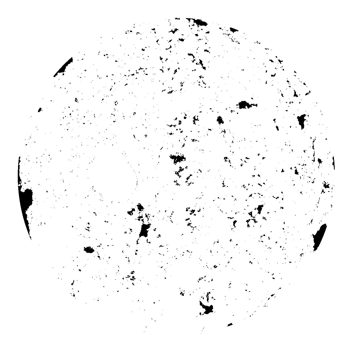
|
|---|
|
| XY Plane Grey |
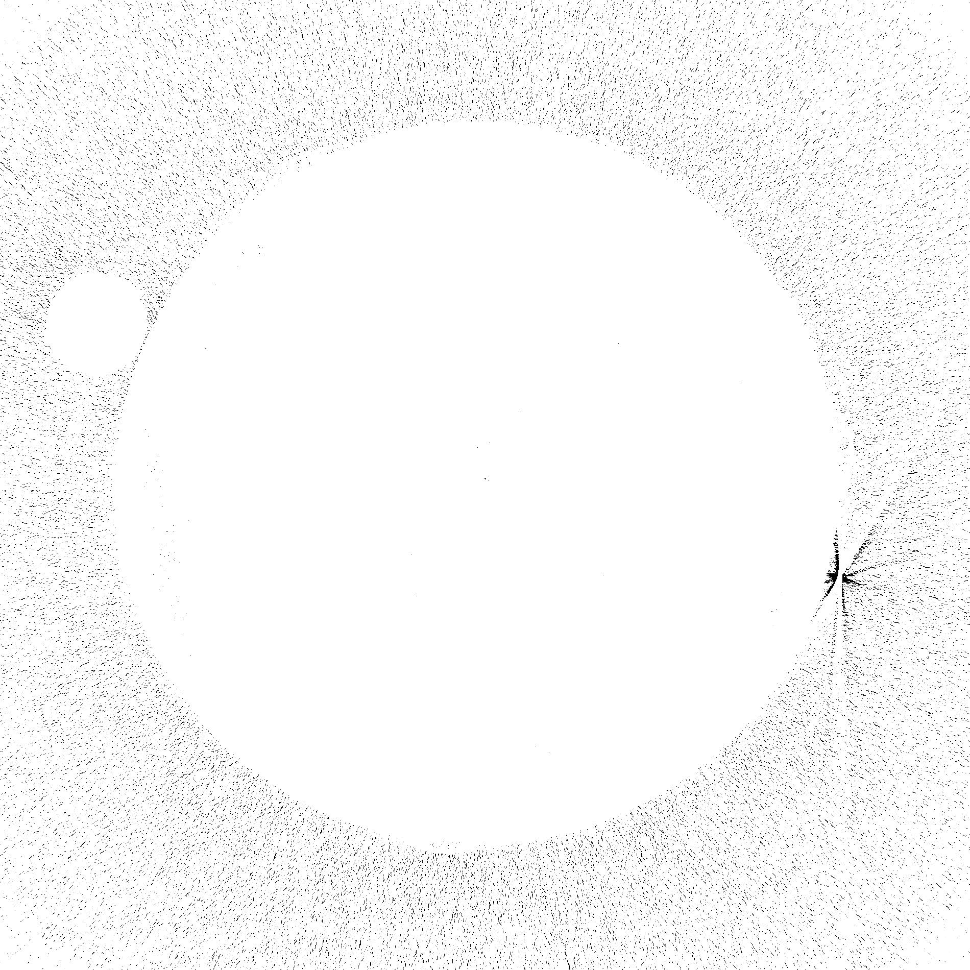
|
|---|
|
|
|
|
Results
| Porosity | Surface | Mean Curvature | Euler | MeanPoreSize | Gamma | PoreDist |
| 0.045341166 | 7.951520468 | 118.256894837 | 5391.767048669 | 1.08150605064 | 0.52168643945 | 2.357427381 |
| Opening size | Volume | Surface | MeanCurvature | Euler number |
|---|
| 0.098 | 0.045341166 | 7.951520468 | 118.256894837 | 5391.767048669 |
| 0.1225 | 0.0431622 | 0.305847426 | 0.166083568 | 0.244239636 |
| 0.147 | 0.041291577 | 0.260409081 | 0.118298342 | 0.115328399 |
| 0.1715 | 0.039770207 | 0.22952271 | 0.094879094 | 0.11500449 |
| 0.196 | 0.039061062 | 0.21687121 | 0.090916159 | 0.149965276 |
| 0.2205 | 0.035555269 | 0.155777018 | 0.042638286 | 0.047729591 |
| 0.245 | 0.034382193 | 0.138992963 | 0.032518352 | 0.031163387 |
| 0.294 | 0.033257273 | 0.124203568 | 0.02554875 | 0.01994167 |
| 0.343 | 0.031315813 | 0.103619966 | 0.016881643 | 0.009885596 |
| 0.392 | 0.030237195 | 0.094081521 | 0.013827405 | 0.006603893 |
| 0.441 | 0.028778532 | 0.08326553 | 0.010855534 | 0.006241627 |
| 0.49 | 0.028075826 | 0.078358514 | 0.009653159 | 0.004082949 |
| 0.539 | 0.026715902 | 0.070605713 | 0.008093664 | 0.004306702 |
| 0.588 | 0.025993827 | 0.066341257 | 0.007247044 | 0.002780923 |
| 0.637 | 0.024951984 | 0.06143031 | 0.006439969 | 0.002685029 |
| 0.686 | 0.024435464 | 0.058790467 | 0.006003685 | 0.001623803 |
| 0.735 | 0.023391 | 0.054506286 | 0.005424662 | 0.001877389 |
| 0.98 | 0.019656624 | 0.041058384 | 0.003791484 | 0.001272192 |
| 1.225 | 0.016056441 | 0.030272002 | 0.002561718 | 0.000754365 |
| 1.47 | 0.013055965 | 0.022830424 | 0.001826768 | 0.000396361 |
| 1.715 | 0.010198916 | 0.0168575 | 0.001356271 | 0.00030686 |
| 2.205 | 0.00534014 | 0.007151219 | 0.000518084 | 0.000136382 |
| 2.695 | 0.003177221 | 0.003306316 | 0.000171765 | 0.000034096 |
| 3.185 | 0.002247283 | 0.002079965 | 0.000097691 | 0.000017048 |
| 3.675 | 0.001527672 | 0.001225565 | 0.000043727 | 0.000004262 |
| 4.165 | 0.001093588 | 0.000923527 | 0.000037029 | 0.000004262 |
Reference: An open Soil Structure Library based on X-ray CT data
 Soil Structure Library