 Soil Structure Library
General Information
|
|
||||||||||||||||
|
|
||||||||||||||||
|
|
||||||||||||||||
|
|
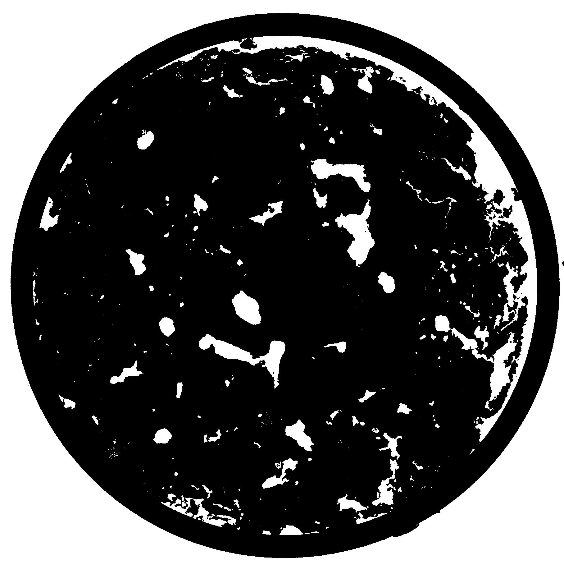
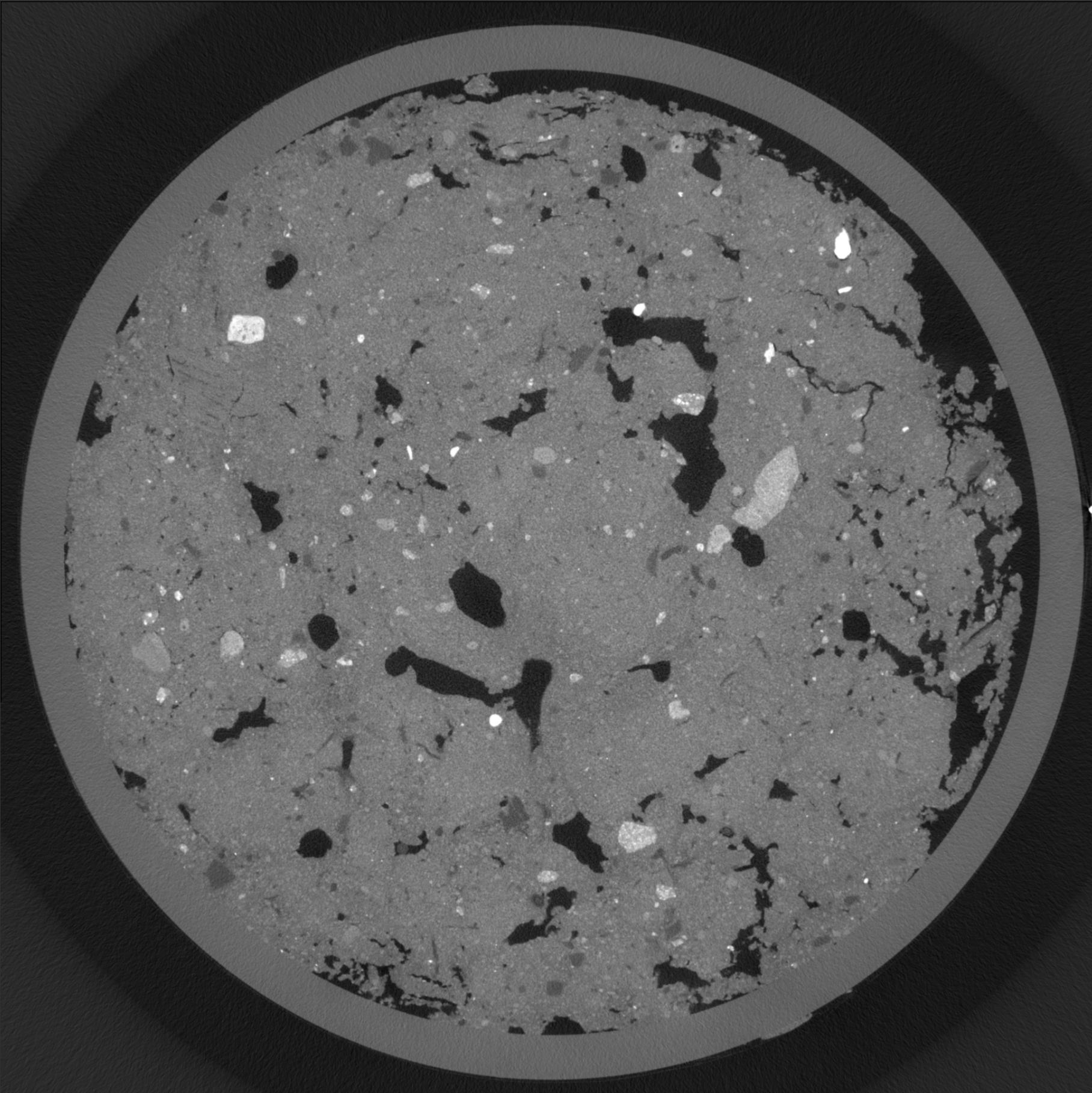
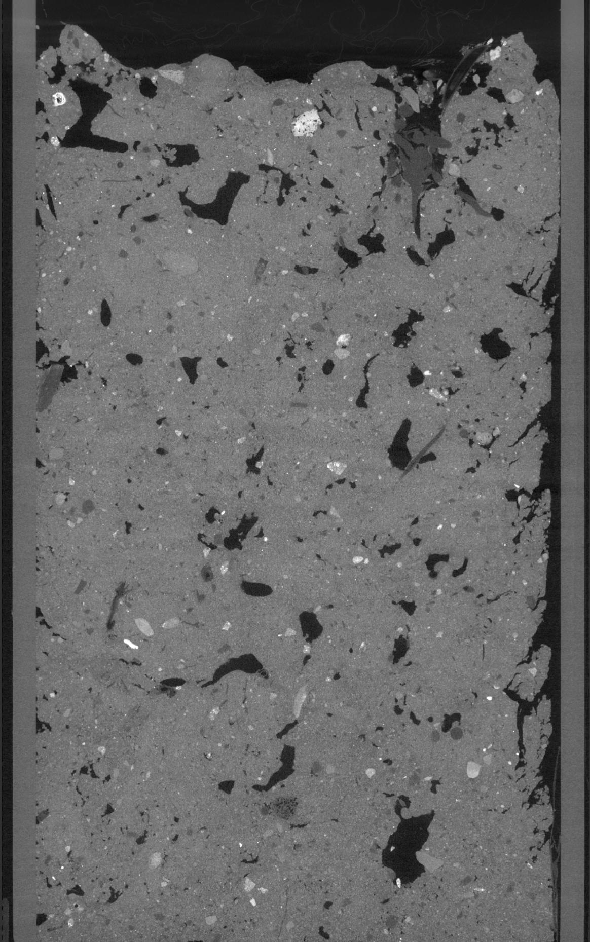
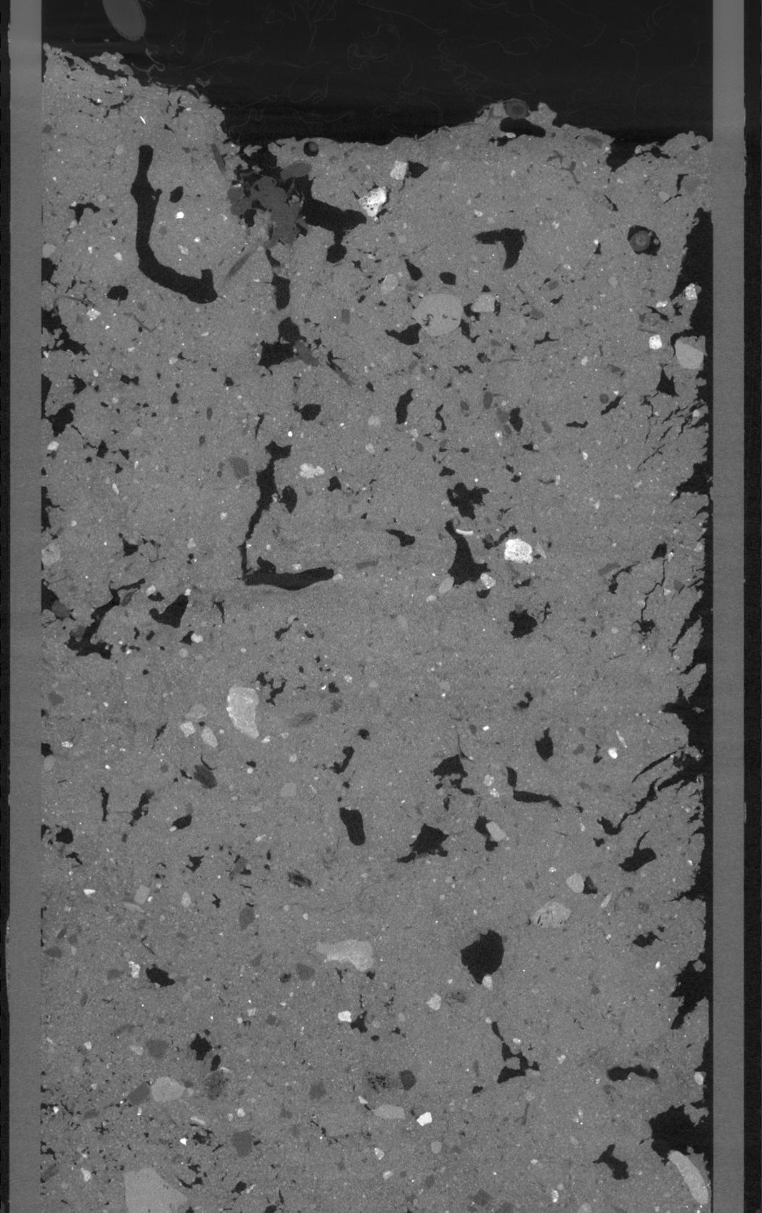
Results
| Porosity | Surface | Mean Curvature | Euler | MeanPoreSize | Gamma | PoreDist |
|---|---|---|---|---|---|---|
| 0.075413064 | 1.539589077 | 2.261399298 | 27.496031389 | 1.61189429999 | 0.174770775471 | 1.195721394 |
| Opening size | Volume | Surface | MeanCurvature | Euler number |
|---|---|---|---|---|
| 0.1 | 0.075413064 | 1.539589077 | 2.261399298 | 27.496031389 |
| 0.125 | 0.075166264 | 0.243694993 | 0.047221246 | 0.025021831 |
| 0.15 | 0.074859152 | 0.236959775 | 0.041576608 | 0.012321783 |
| 0.175 | 0.074637136 | 0.232881198 | 0.039207626 | 0.014269446 |
| 0.2 | 0.074511808 | 0.230744292 | 0.038671164 | 0.019452482 |
| 0.225 | 0.073608976 | 0.218294071 | 0.032911234 | 0.012740289 |
| 0.25 | 0.073199152 | 0.213422863 | 0.031263224 | 0.011500867 |
| 0.3 | 0.07252276 | 0.205436916 | 0.02852804 | 0.010840915 |
| 0.35 | 0.07114768 | 0.192896187 | 0.025321799 | 0.011541108 |
| 0.4 | 0.070039576 | 0.183651577 | 0.023058 | 0.010816771 |
| 0.45 | 0.068144928 | 0.169837151 | 0.019280177 | 0.011347952 |
| 0.5 | 0.06709912 | 0.162364624 | 0.017278183 | 0.007372144 |
| 0.55 | 0.065160568 | 0.151200679 | 0.014789315 | 0.009319807 |
| 0.6 | 0.064130064 | 0.14539616 | 0.013781863 | 0.005971759 |
| 0.65 | 0.062480616 | 0.137947416 | 0.012683856 | 0.006229301 |
| 0.7 | 0.061616384 | 0.133511503 | 0.01188381 | 0.002897349 |
| 0.75 | 0.059844976 | 0.126444774 | 0.011092429 | 0.004539181 |
| 1.0 | 0.053833928 | 0.104737191 | 0.008247242 | 0.003364145 |
| 1.25 | 0.047468072 | 0.087010539 | 0.006547373 | 0.002350072 |
| 1.5 | 0.041197272 | 0.072660264 | 0.005522031 | 0.00173841 |
| 1.75 | 0.033177568 | 0.055673903 | 0.004096667 | 0.001223325 |
| 2.25 | 0.018624296 | 0.029370051 | 0.002258727 | 0.000434602 |
| 2.75 | 0.00706172 | 0.01032252 | 0.000774677 | 0.00017706 |
| 3.25 | 0.003142456 | 0.004663789 | 0.000375129 | 0.000096578 |