General Information
Internal Identifier CG_G1_U_a
| Soil Type | Chernozem |
|---|
| Classification | WRB |
|---|
|
| Location | Bernburg (Westerfeld) |
|---|
| Latitude | 51.820 |
|---|
| Longitude | 11.700 |
|---|
|
| Landuse | agricultural crop rotation |
|---|
| Tillage | reduced tillage |
|---|
| Crop | winter wheat, maize, winter wheat, winter rape, winter barley |
|---|
|
| Sampling Depth | 28.0 |
|---|
| Sample Height | 10.0 |
|---|
| Sampling Date | March 28, 2017 |
|---|
| Voxel size | 0.06 |
|---|
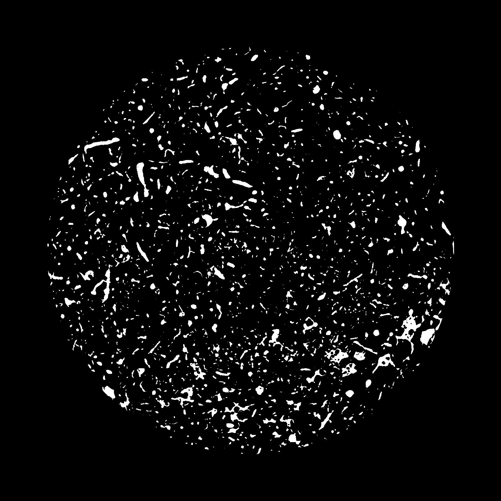
| Pores white? | True |
|---|
|
| XY Plane |

|
|---|
|
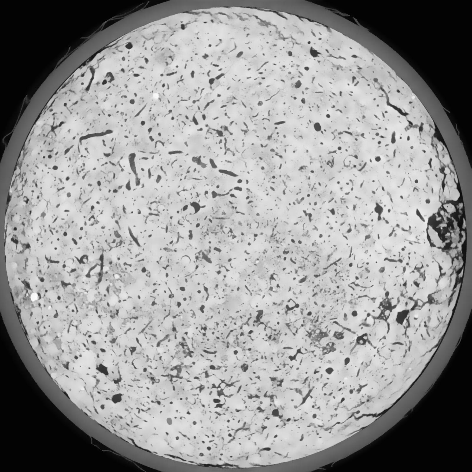
| XY Plane Grey |

|
|---|
|
| Texture | silt loam |
|---|
| Sand | 8.0 |
|---|
| Silt | 79.0 |
|---|
| Clay | 13.0 |
|---|
|
|
Results
| Porosity | Surface | Mean Curvature | Euler | MeanPoreSize | Gamma | PoreDist |
| 0.1024 | 0.876833333 | 0.452777778 | 0.656018519 | 0.0 | 0.7769 | 0.309346809 |
| Opening size | Volume | Surface | MeanCurvature | Euler number |
|---|
| 0.12 | 0.1024 | 0.876833333 | 0.452777778 | 0.656018519 |
| 0.15 | 0.09853 | 0.772333333 | 0.336666667 | 0.261898148 |
| 0.18 | 0.09546 | 0.708166667 | 0.277722222 | 0.160509259 |
| 0.21 | 0.09257 | 0.658 | 0.242111111 | 0.144444444 |
| 0.24 | 0.09117 | 0.637 | 0.235194444 | 0.188611111 |
| 0.27 | 0.08201 | 0.511833333 | 0.161194444 | 0.101805556 |
| 0.3 | 0.0778 | 0.463166667 | 0.138861111 | 0.090972222 |
| 0.36 | 0.07166 | 0.396166667 | 0.111722222 | 0.077083333 |
| 0.42 | 0.06082 | 0.296 | 0.072694444 | 0.0440625 |
| 0.48 | 0.05445 | 0.245666667 | 0.056694444 | 0.032817593 |
| 0.54 | 0.04555 | 0.183333333 | 0.038055556 | 0.022418981 |
| 0.6000000000000001 | 0.04118 | 0.155366667 | 0.030611111 | 0.016225926 |
| 0.6599999999999999 | 0.03431 | 0.116466667 | 0.020975 | 0.012813426 |
| 0.72 | 0.03081 | 0.097 | 0.016502778 | 0.008251389 |
| 0.78 | 0.02659 | 0.076383333 | 0.012008333 | 0.006228241 |
| 0.8400000000000001 | 0.02472 | 0.067333333 | 0.010180556 | 0.004624583 |
| 0.8999999999999999 | 0.02145 | 0.05315 | 0.007391667 | 0.003412731 |
| 1.2 | 0.01461 | 0.0268 | 0.002658194 | 0.001015787 |
| 1.5 | 0.01117 | 0.017033333 | 0.001366 | 0.000498981 |
| 1.8 | 0.008649 | 0.011303333 | 0.000794472 | 0.000231676 |
| 2.1 | 0.006711 | 0.007503333 | 0.000451778 | 0.000133657 |
| 2.7 | 0.004685 | 0.00396 | 0.000132589 | 0.000026731 |
| 3.3000000000000003 | 0.00383 | 0.003201667 | 0.000113878 | 0.000026731 |
| 3.9 | 0.002998 | 0.00253 | 0.000101044 | 0.000026731 |
| 4.5 | 0.002172 | 0.001925 | 0.000086075 | 0.000017821 |
| 5.1 | 0.0009922 | 0.000897167 | 0.000041167 | 0.000005621 |
| 5.699999999999999 | 0.0003594 | 0.000346333 | 0.000017643 | 0.00000281 |
Reference: An open Soil Structure Library based on X-ray CT data


