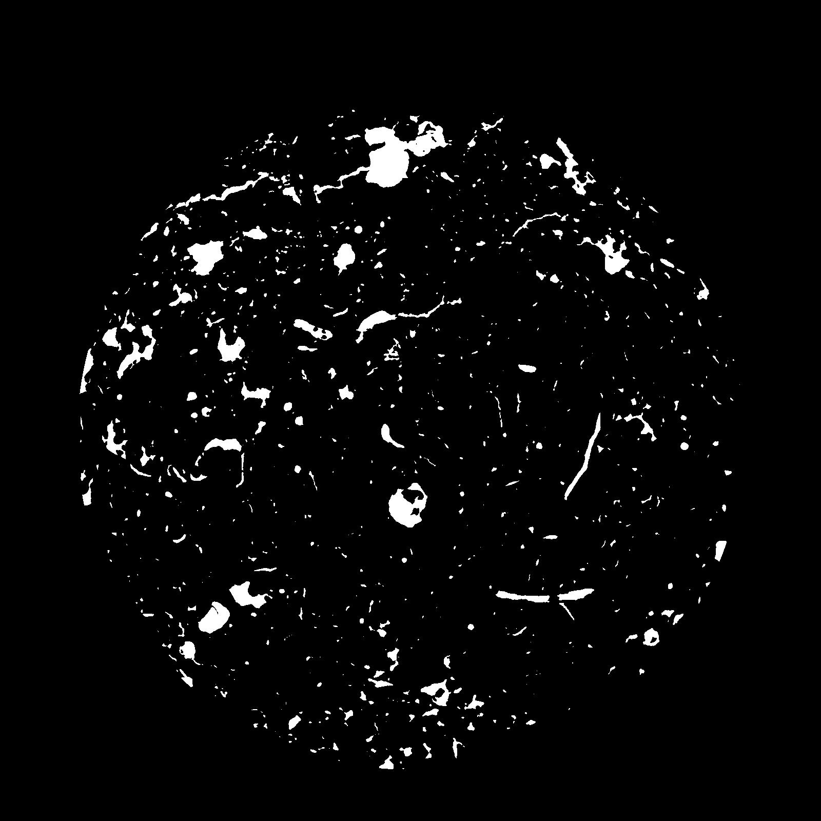
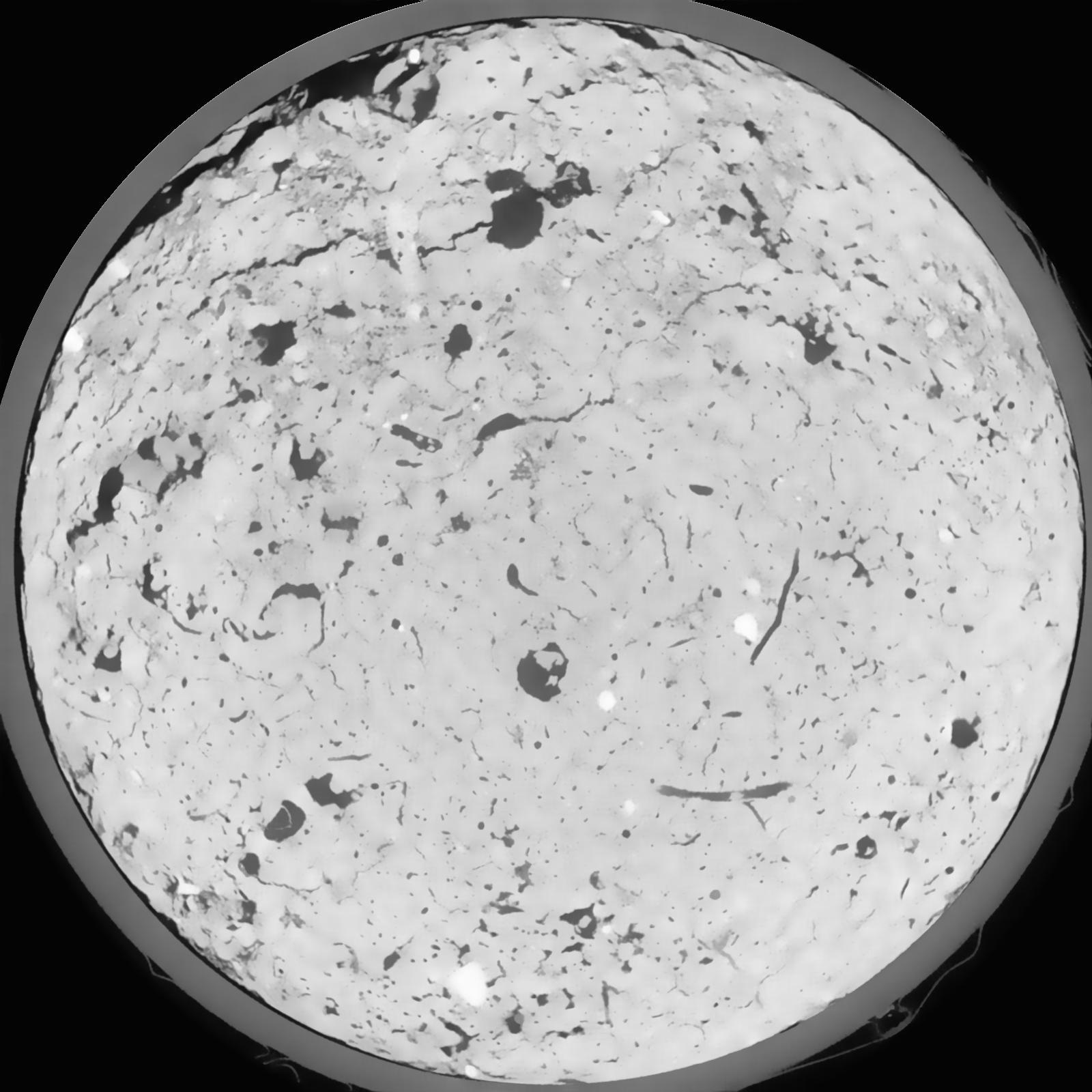
General Information
Internal Identifier CG_G1_U_b
| Soil Type | Chernozem |
|---|
| Classification | WRB |
|---|
|
| Location | Bernburg (Westerfeld) |
|---|
| Latitude | 51.820 |
|---|
| Longitude | 11.700 |
|---|
|
| Landuse | agricultural crop rotation |
|---|
| Tillage | reduced tillage |
|---|
| Crop | winter wheat, maize, winter wheat, winter rape, winter barley |
|---|
|
| Sampling Depth | 28.0 |
|---|
| Sample Height | 10.0 |
|---|
| Sampling Date | March 28, 2017 |
|---|
| Voxel size | 0.06 |
|---|
| Pores white? | True |
|---|
|
| XY Plane |

|
|---|
|
| XY Plane Grey |

|
|---|
|
| Texture | silt loam |
|---|
| Sand | 8.0 |
|---|
| Silt | 79.0 |
|---|
| Clay | 13.0 |
|---|
|
|
Results
| Porosity | Surface | Mean Curvature | Euler | MeanPoreSize | Gamma | PoreDist |
| 0.07554 | 0.522333333 | 0.279722222 | 0.568518519 | 0.0 | 0.6287 | 0.422755066 |
| Opening size | Volume | Surface | MeanCurvature | Euler number |
|---|
| 0.12 | 0.07554 | 0.522333333 | 0.279722222 | 0.568518519 |
| 0.15 | 0.07295 | 0.4505 | 0.192638889 | 0.217777778 |
| 0.18 | 0.07099 | 0.409 | 0.153083333 | 0.128935185 |
| 0.21 | 0.06932 | 0.379666667 | 0.1315 | 0.107731481 |
| 0.24 | 0.06851 | 0.367666667 | 0.127361111 | 0.12712963 |
| 0.27 | 0.06341 | 0.297333333 | 0.084472222 | 0.064305556 |
| 0.3 | 0.0612 | 0.272 | 0.072805556 | 0.055787037 |
| 0.36 | 0.05803 | 0.2375 | 0.058694444 | 0.044048611 |
| 0.42 | 0.05256 | 0.187 | 0.038777778 | 0.024622222 |
| 0.48 | 0.04938 | 0.161633333 | 0.0305 | 0.017501852 |
| 0.54 | 0.04493 | 0.130816667 | 0.021233333 | 0.012030093 |
| 0.6000000000000001 | 0.04277 | 0.1171 | 0.017616667 | 0.008652778 |
| 0.6599999999999999 | 0.0394 | 0.09875 | 0.013227778 | 0.007182407 |
| 0.72 | 0.03763 | 0.08925 | 0.011175 | 0.004723148 |
| 0.78 | 0.03543 | 0.07935 | 0.009236111 | 0.00395662 |
| 0.8400000000000001 | 0.03435 | 0.074366667 | 0.008341667 | 0.002815972 |
| 0.8999999999999999 | 0.03235 | 0.06665 | 0.007069444 | 0.002513009 |
| 1.2 | 0.02615 | 0.046116667 | 0.004266667 | 0.001577315 |
| 1.5 | 0.02077 | 0.03165 | 0.002599611 | 0.00091787 |
| 1.8 | 0.01651 | 0.021833333 | 0.001571972 | 0.000454477 |
| 2.1 | 0.01333 | 0.01525 | 0.000927139 | 0.000285162 |
| 2.7 | 0.009716 | 0.00894 | 0.000384972 | 0.000080204 |
| 3.3000000000000003 | 0.007978 | 0.006863333 | 0.000263597 | 0.000035645 |
| 3.9 | 0.005733 | 0.004768333 | 0.000193019 | 0.000017823 |
| 4.5 | 0.003205 | 0.00231 | 0.000088756 | 0.000008911 |
| 5.1 | 0.002406 | 0.001562167 | 0.000051331 | 0.000005007 |
| 5.699999999999999 | 0.002043 | 0.001330667 | 0.000045983 | 0.000005007 |
| 6.3 | 0.001558 | 0.000928333 | 0.000027803 | 0.000005007 |
| 6.8999999999999995 | 0.001426 | 0.000864167 | 0.000026734 | 0.000002504 |
| 7.5 | 0.00104 | 0.000685 | 0.000023526 | 0.000002504 |
Reference: An open Soil Structure Library based on X-ray CT data


