General Information
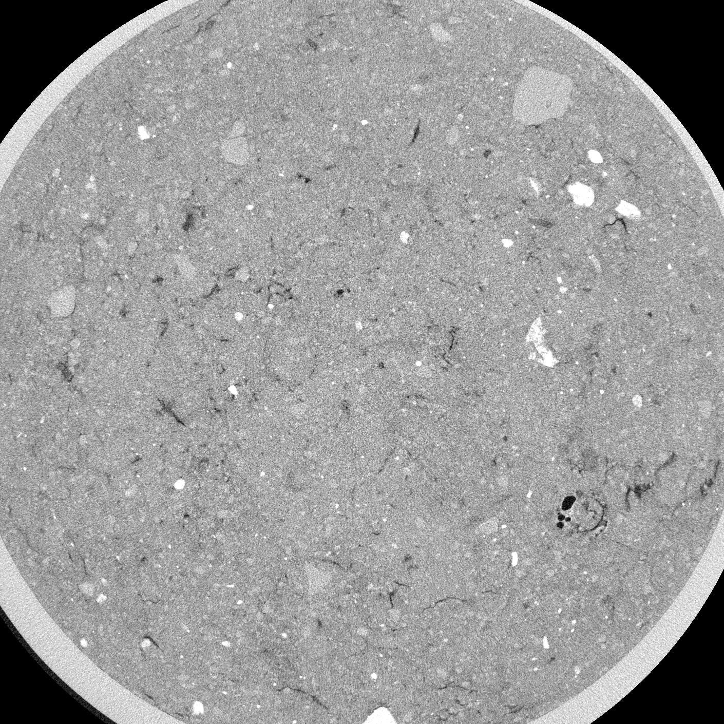
Internal Identifier AM_GIE_AC_D10_1a
| Soil Type | Gleysol |
|---|
| Classification | WRB |
|---|
|
| Location | Linden |
|---|
| Latitude | 50.531884 |
|---|
| Longitude | 8.685742 |
|---|
|
| Landuse | Cropland |
|---|
| Tillage | Conventional |
|---|
| Crop | Wheat |
|---|
|
| Sampling Depth | 10.0 |
|---|
| Sample Height | 5.0 |
|---|
| Sampling Date | Jan. 4, 2025 |
|---|
| Voxel size | 0.03 |
|---|
| Pores white? | True |
|---|
|
| XY Plane |

|
|---|
|
| XY Plane Grey |
|
|---|
|
| Texture | Loam |
|---|
| Sand | 37.4784 |
|---|
| Silt | 39.846 |
|---|
| Clay | 22.6756 |
|---|
|
|
Reference: An open Soil Structure Library based on X-ray CT data
 Soil Structure Library