General Information
Internal Identifier CG_G3_O_b
| Soil Type | Chernozem |
|---|
| Classification | WRB |
|---|
|
| Location | Bernburg (Westerfeld) |
|---|
| Latitude | 51.820 |
|---|
| Longitude | 11.700 |
|---|
|
| Landuse | agricultural crop rotation |
|---|
| Tillage | reduced tillage |
|---|
| Crop | winter wheat, maize, winter wheat, winter rape, winter barley |
|---|
|
| Sampling Depth | 13.0 |
|---|
| Sample Height | 10.0 |
|---|
| Sampling Date | March 28, 2017 |
|---|
| Voxel size | 0.06 |
|---|
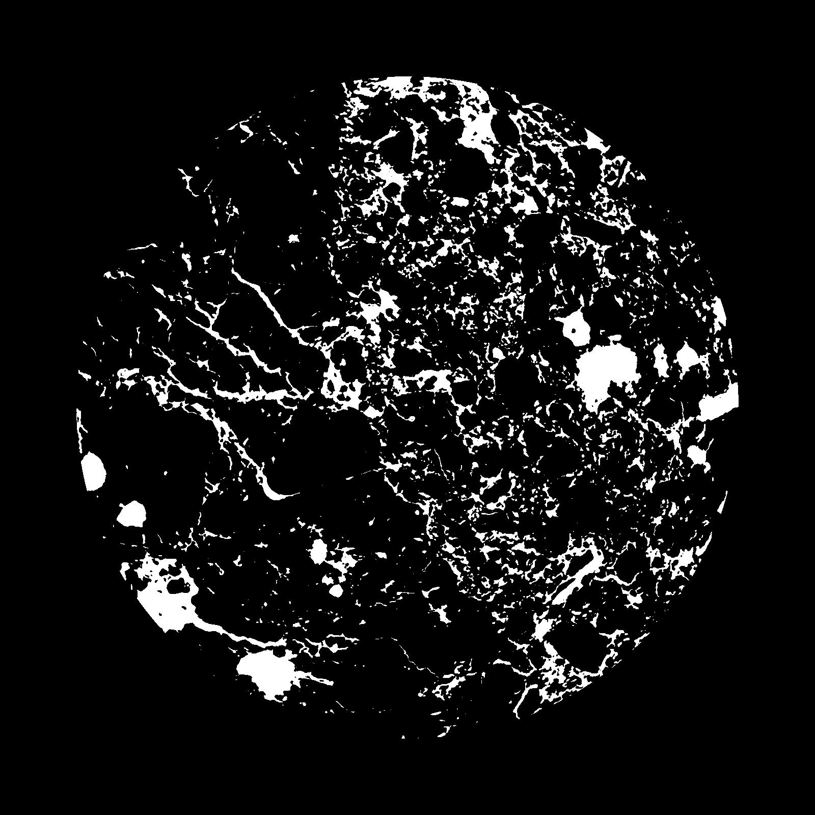
| Pores white? | True |
|---|
|
| XY Plane |

|
|---|
|
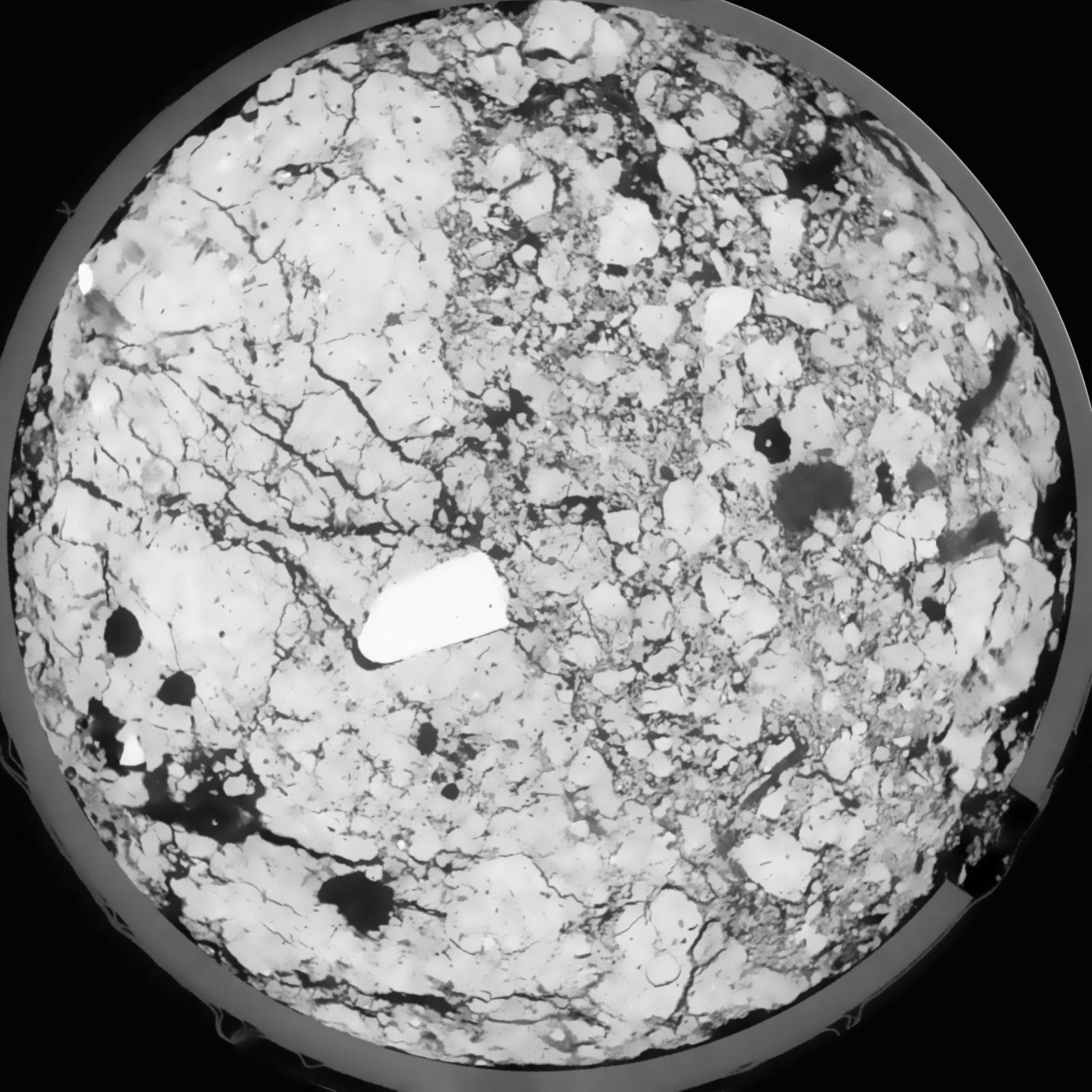
| XY Plane Grey |

|
|---|
|
| Texture | silt loam |
|---|
| Sand | 8.0 |
|---|
| Silt | 79.0 |
|---|
| Clay | 13.0 |
|---|
|
|
Results
| Porosity | Surface | Mean Curvature | Euler | MeanPoreSize | Gamma | PoreDist |
| 0.1165 | 0.856333333 | 0.286666667 | 0.049861111 | 0.0 | 0.8763 | 0.5262756 |
| Opening size | Volume | Surface | MeanCurvature | Euler number |
|---|
| 0.12 | 0.1165 | 0.856333333 | 0.286666667 | 0.049861111 |
| 0.15 | 0.1132 | 0.758 | 0.205833333 | -0.070231481 |
| 0.18 | 0.1099 | 0.6995 | 0.174055556 | -0.09162037 |
| 0.21 | 0.1068 | 0.6545 | 0.156027778 | -0.052777778 |
| 0.24 | 0.1051 | 0.630666667 | 0.154194444 | 0.012352315 |
| 0.27 | 0.09456 | 0.511833333 | 0.115027778 | 0.003030139 |
| 0.3 | 0.08937 | 0.4605 | 0.101722222 | 0.018956019 |
| 0.36 | 0.08253 | 0.394166667 | 0.085583333 | 0.03649537 |
| 0.42 | 0.0696 | 0.2875 | 0.05625 | 0.027280093 |
| 0.48 | 0.06253 | 0.236 | 0.043083333 | 0.020685185 |
| 0.54 | 0.05348 | 0.177333333 | 0.028305556 | 0.01386713 |
| 0.6000000000000001 | 0.04958 | 0.15425 | 0.023161111 | 0.009963889 |
| 0.6599999999999999 | 0.04315 | 0.120766667 | 0.016175 | 0.007236574 |
| 0.72 | 0.04014 | 0.10555 | 0.013266667 | 0.005017593 |
| 0.78 | 0.03625 | 0.088633333 | 0.01035 | 0.004037176 |
| 0.8400000000000001 | 0.03454 | 0.081083333 | 0.009094444 | 0.00300338 |
| 0.8999999999999999 | 0.03136 | 0.0689 | 0.007130556 | 0.002317176 |
| 1.2 | 0.02305 | 0.0414 | 0.003394444 | 0.000935787 |
| 1.5 | 0.01777 | 0.0279 | 0.001973139 | 0.000534722 |
| 1.8 | 0.01425 | 0.020466667 | 0.001312222 | 0.000258454 |
| 2.1 | 0.01156 | 0.015538333 | 0.000914917 | 0.000178241 |
| 2.7 | 0.007525 | 0.009778333 | 0.000593 | 0.000098032 |
| 3.3000000000000003 | 0.003091 | 0.00373 | 0.000220842 | 0.000035649 |
| 3.9 | 0.00113 | 0.001365333 | 0.000087161 | 0.000017824 |
| 4.5 | 0.0002037 | 0.000220667 | 0.000012299 | 0.00000219 |
Reference: An open Soil Structure Library based on X-ray CT data


