General Information
Internal Identifier CG_G4_U_b
| Soil Type | Chernozem |
|---|
| Classification | WRB |
|---|
|
| Location | Bernburg (Westerfeld) |
|---|
| Latitude | 51.820 |
|---|
| Longitude | 11.700 |
|---|
|
| Landuse | agricultural crop rotation |
|---|
| Tillage | reduced tillage |
|---|
| Crop | winter wheat, maize, winter wheat, winter rape, winter barley |
|---|
|
| Sampling Depth | 28.0 |
|---|
| Sample Height | 10.0 |
|---|
| Sampling Date | March 28, 2017 |
|---|
| Voxel size | 0.06 |
|---|
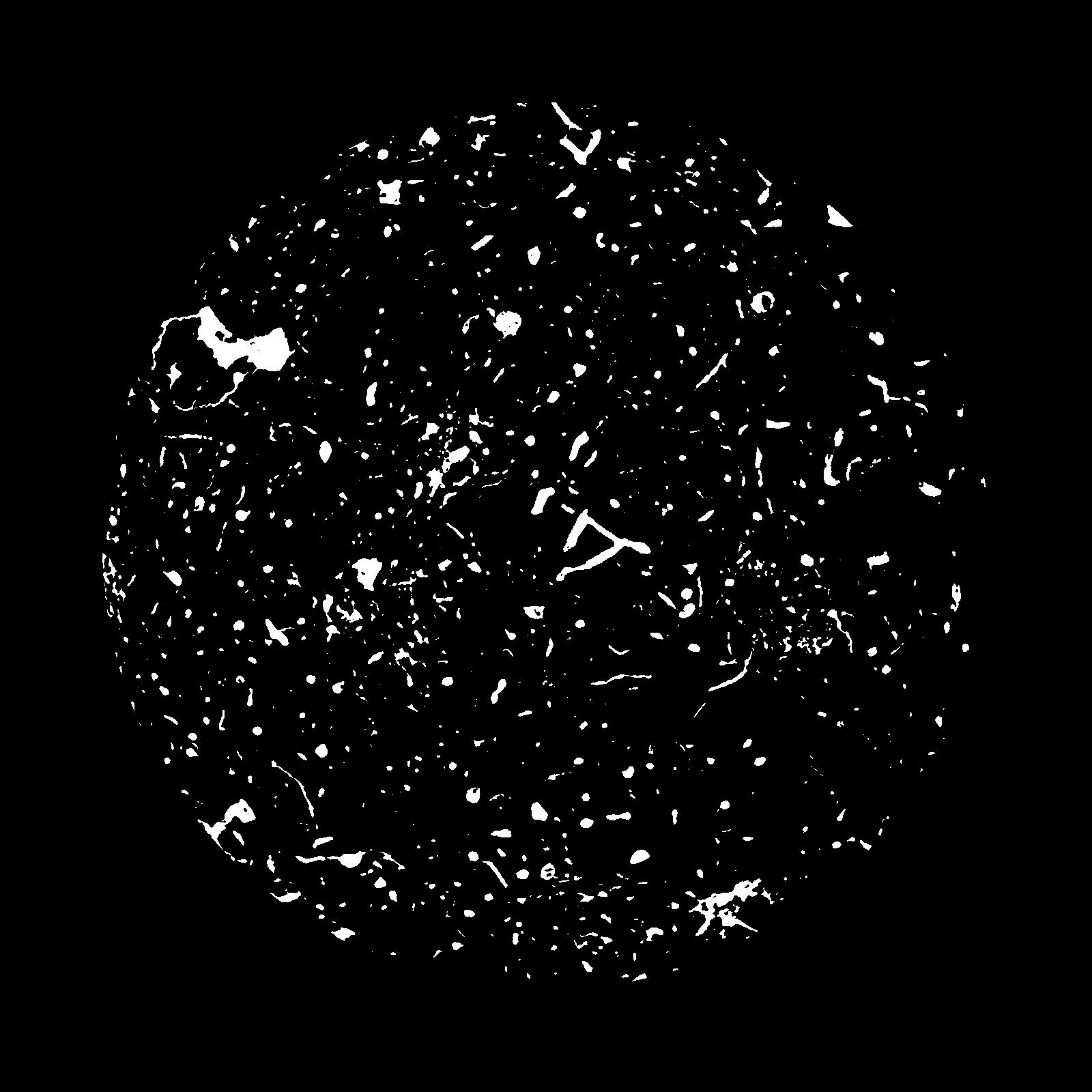
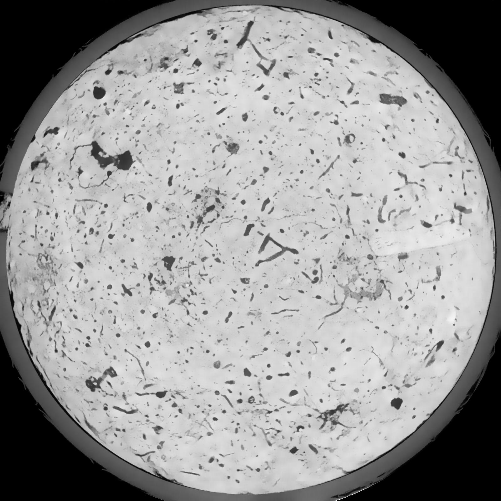
| Pores white? | True |
|---|
|
| XY Plane |

|
|---|
|
| XY Plane Grey |

|
|---|
|
| Texture | silt loam |
|---|
| Sand | 8.0 |
|---|
| Silt | 79.0 |
|---|
| Clay | 13.0 |
|---|
|
|
Results
| Porosity | Surface | Mean Curvature | Euler | MeanPoreSize | Gamma | PoreDist |
| 0.06581 | 0.5615 | 0.291944444 | 0.531018519 | 0.0 | 0.6956 | 0.423582758 |
| Opening size | Volume | Surface | MeanCurvature | Euler number |
|---|
| 0.12 | 0.06581 | 0.5615 | 0.291944444 | 0.531018519 |
| 0.15 | 0.06311 | 0.486 | 0.209916667 | 0.191064815 |
| 0.18 | 0.06119 | 0.445333333 | 0.171111111 | 0.111805556 |
| 0.21 | 0.05947 | 0.415333333 | 0.149277778 | 0.095 |
| 0.24 | 0.05864 | 0.402833333 | 0.145111111 | 0.119861111 |
| 0.27 | 0.05314 | 0.328 | 0.100888889 | 0.063101852 |
| 0.3 | 0.05068 | 0.299666667 | 0.087861111 | 0.055694444 |
| 0.36 | 0.04708 | 0.260666667 | 0.072277778 | 0.046990741 |
| 0.42 | 0.04052 | 0.200333333 | 0.049027778 | 0.027582407 |
| 0.48 | 0.03658 | 0.169166667 | 0.039166667 | 0.020506481 |
| 0.54 | 0.03088 | 0.1294 | 0.027297222 | 0.014633333 |
| 0.6000000000000001 | 0.02795 | 0.110633333 | 0.022430556 | 0.010863889 |
| 0.6599999999999999 | 0.02297 | 0.08205 | 0.015313889 | 0.00905463 |
| 0.72 | 0.02044 | 0.067833333 | 0.012002778 | 0.0057125 |
| 0.78 | 0.01732 | 0.052433333 | 0.008630556 | 0.00449162 |
| 0.8400000000000001 | 0.01581 | 0.04495 | 0.007086111 | 0.003243935 |
| 0.8999999999999999 | 0.01333 | 0.0337 | 0.004727778 | 0.002156713 |
| 1.2 | 0.008921 | 0.0166 | 0.001642639 | 0.000614907 |
| 1.5 | 0.006719 | 0.010313333 | 0.000812222 | 0.000249532 |
| 1.8 | 0.005087 | 0.00658 | 0.000442222 | 0.000124769 |
| 2.1 | 0.003774 | 0.003921667 | 0.000187686 | 0.000053472 |
| 2.7 | 0.002769 | 0.002456667 | 0.000089297 | 0.000008912 |
| 3.3000000000000003 | 0.002067 | 0.001619333 | 0.000049728 | 0.000003395 |
| 3.9 | 0.001621 | 0.001271833 | 0.000043311 | 0.000003395 |
| 4.5 | 0.001116 | 0.000854 | 0.000029408 | 0.000002264 |
| 5.1 | 0.0007416 | 0.000593 | 0.000022993 | 0.000002264 |
| 5.699999999999999 | 0.0003301 | 0.000304833 | 0.000014972 | 0.000002264 |
Reference: An open Soil Structure Library based on X-ray CT data


