General Information
Internal Identifier SS_GCEF_503
| Soil Type | Chernozem |
|---|
| Classification | WRB |
|---|
|
| Location | Bad Lauchstädt |
|---|
| Latitude | 51.392228 |
|---|
| Longitude | 11.883102 |
|---|
|
| Landuse | Cropland |
|---|
| Tillage | conventional tillage |
|---|
| Crop | Wheat |
|---|
|
| Sampling Depth | 10.0 |
|---|
| Sample Height | 5.0 |
|---|
| Sampling Date | May 13, 2023 |
|---|
| Voxel size | 0.03 |
|---|
| Pores white? | True |
|---|
|
| XY Plane |
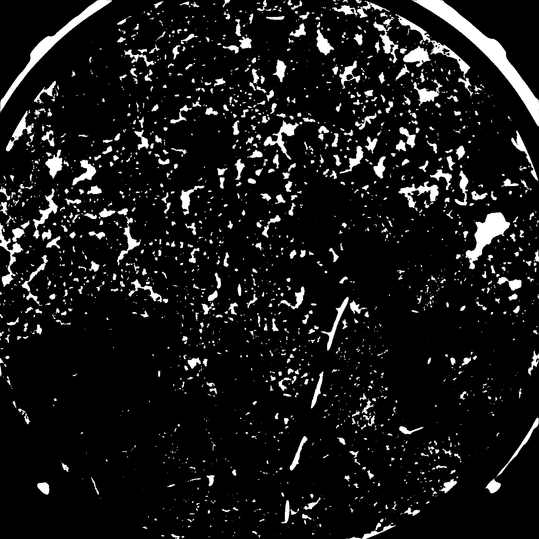
|
|---|
|
| XY Plane Grey |
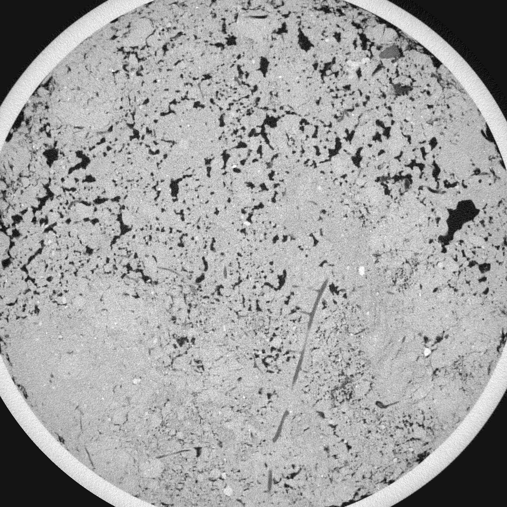
|
|---|
|
| Texture | Silt loam |
|---|
| Sand | 12.8752 |
|---|
| Silt | 59.4171 |
|---|
| Clay | 27.7077 |
|---|
|
|
Reference: An open Soil Structure Library based on X-ray CT data
 Soil Structure Library