General Information
Internal Identifier CG_P1_U_b
| Soil Type | Chernozem |
|---|
| Classification | WRB |
|---|
|
| Location | Bernburg (Westerfeld) |
|---|
| Latitude | 51.820 |
|---|
| Longitude | 11.700 |
|---|
|
| Landuse | agricultural crop rotation |
|---|
| Tillage | conventional tillage |
|---|
| Crop | winter wheat, maize, winter wheat, winter rape, winter barley |
|---|
|
| Sampling Depth | 28.0 |
|---|
| Sample Height | 10.0 |
|---|
| Sampling Date | March 28, 2017 |
|---|
| Voxel size | 0.06 |
|---|
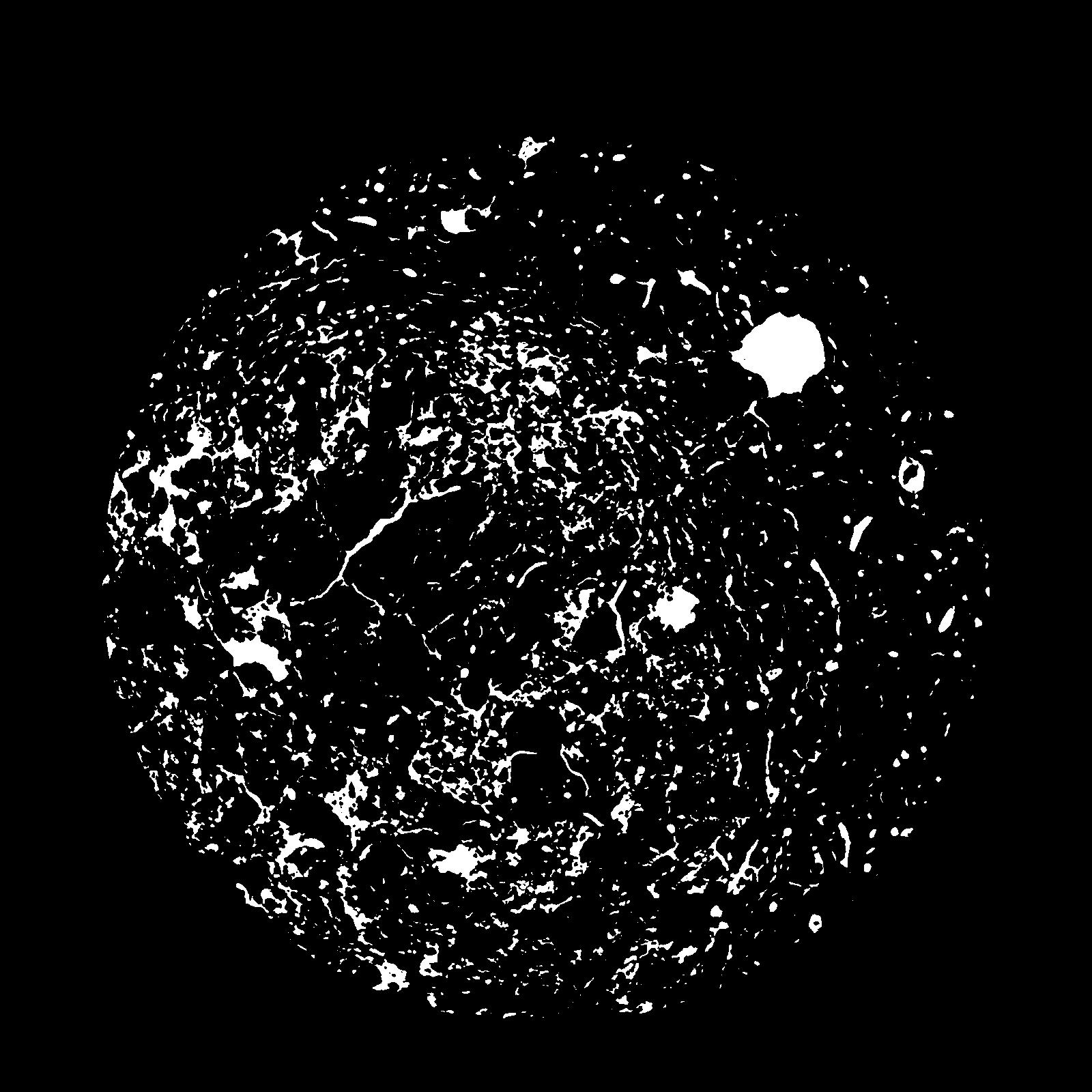
| Pores white? | True |
|---|
|
| XY Plane |

|
|---|
|
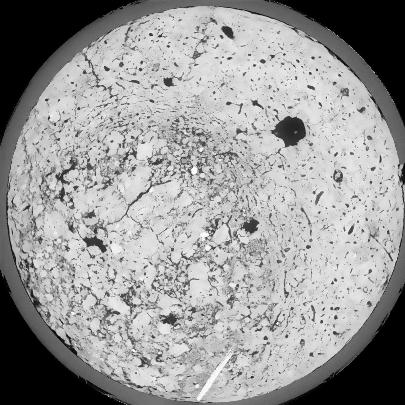
| XY Plane Grey |

|
|---|
|
| Texture | silt loam |
|---|
| Sand | 8.0 |
|---|
| Silt | 79.0 |
|---|
| Clay | 13.0 |
|---|
|
|
Results
| Porosity | Surface | Mean Curvature | Euler | MeanPoreSize | Gamma | PoreDist |
| 0.1199 | 1.13 | 0.493611111 | 0.162546296 | 0.0 | 0.8529 | 0.311927055 |
| Opening size | Volume | Surface | MeanCurvature | Euler number |
|---|
| 0.12 | 0.1199 | 1.13 | 0.493611111 | 0.162546296 |
| 0.15 | 0.1147 | 0.981666667 | 0.358611111 | -0.05912037 |
| 0.18 | 0.1097 | 0.8895 | 0.299722222 | -0.08875 |
| 0.21 | 0.105 | 0.817166667 | 0.265611111 | -0.027268519 |
| 0.24 | 0.1024 | 0.781333333 | 0.261527778 | 0.081712963 |
| 0.27 | 0.08713 | 0.596333333 | 0.186583333 | 0.062407407 |
| 0.3 | 0.07986 | 0.519166667 | 0.160777778 | 0.078009259 |
| 0.36 | 0.0707 | 0.4245 | 0.130222222 | 0.08787037 |
| 0.42 | 0.05459 | 0.276833333 | 0.076722222 | 0.05462963 |
| 0.48 | 0.04651 | 0.2115 | 0.054944444 | 0.038068981 |
| 0.54 | 0.03677 | 0.139883333 | 0.031694444 | 0.021556481 |
| 0.6000000000000001 | 0.03275 | 0.113166667 | 0.023977778 | 0.014944444 |
| 0.6599999999999999 | 0.02679 | 0.077516667 | 0.014316667 | 0.009445833 |
| 0.72 | 0.02417 | 0.062333333 | 0.010441667 | 0.005845833 |
| 0.78 | 0.02129 | 0.047733333 | 0.007033333 | 0.003929861 |
| 0.8400000000000001 | 0.0201 | 0.041666667 | 0.005672222 | 0.002744676 |
| 0.8999999999999999 | 0.01829 | 0.03355 | 0.003927778 | 0.001817917 |
| 1.2 | 0.01466 | 0.02 | 0.001555389 | 0.000481204 |
| 1.5 | 0.01287 | 0.015113333 | 0.000954389 | 0.000267338 |
| 1.8 | 0.01153 | 0.012261667 | 0.000688139 | 0.000142579 |
| 2.1 | 0.01019 | 0.009738333 | 0.000483889 | 0.000142579 |
| 2.7 | 0.008231 | 0.006556667 | 0.000245417 | 0.00006238 |
| 3.3000000000000003 | 0.007289 | 0.005398333 | 0.000180186 | 0.000044556 |
| 3.9 | 0.006636 | 0.004813333 | 0.000156661 | 0.000044556 |
| 4.5 | 0.005626 | 0.004123333 | 0.000152383 | 0.000026734 |
| 5.1 | 0.004037 | 0.002916667 | 0.000110144 | 0.000017823 |
| 5.699999999999999 | 0.002485 | 0.00156 | 0.000049725 | 0.000007555 |
| 6.3 | 0.001636 | 0.000993667 | 0.000029942 | 0.000002518 |
| 6.8999999999999995 | 0.001083 | 0.0007195 | 0.000024595 | 0.000002518 |
| 7.5 | 0.0006753 | 0.000508167 | 0.000020318 | 0.000002518 |
Reference: An open Soil Structure Library based on X-ray CT data


