General Information
Internal Identifier CG_P3_U_a
| Soil Type | Chernozem |
|---|
| Classification | WRB |
|---|
|
| Location | Bernburg (Westerfeld) |
|---|
| Latitude | 51.820 |
|---|
| Longitude | 11.700 |
|---|
|
| Landuse | agricultural crop rotation |
|---|
| Tillage | conventional tillage |
|---|
| Crop | winter wheat, maize, winter wheat, winter rape, winter barley |
|---|
|
| Sampling Depth | 28.0 |
|---|
| Sample Height | 10.0 |
|---|
| Sampling Date | March 28, 2017 |
|---|
| Voxel size | 0.06 |
|---|
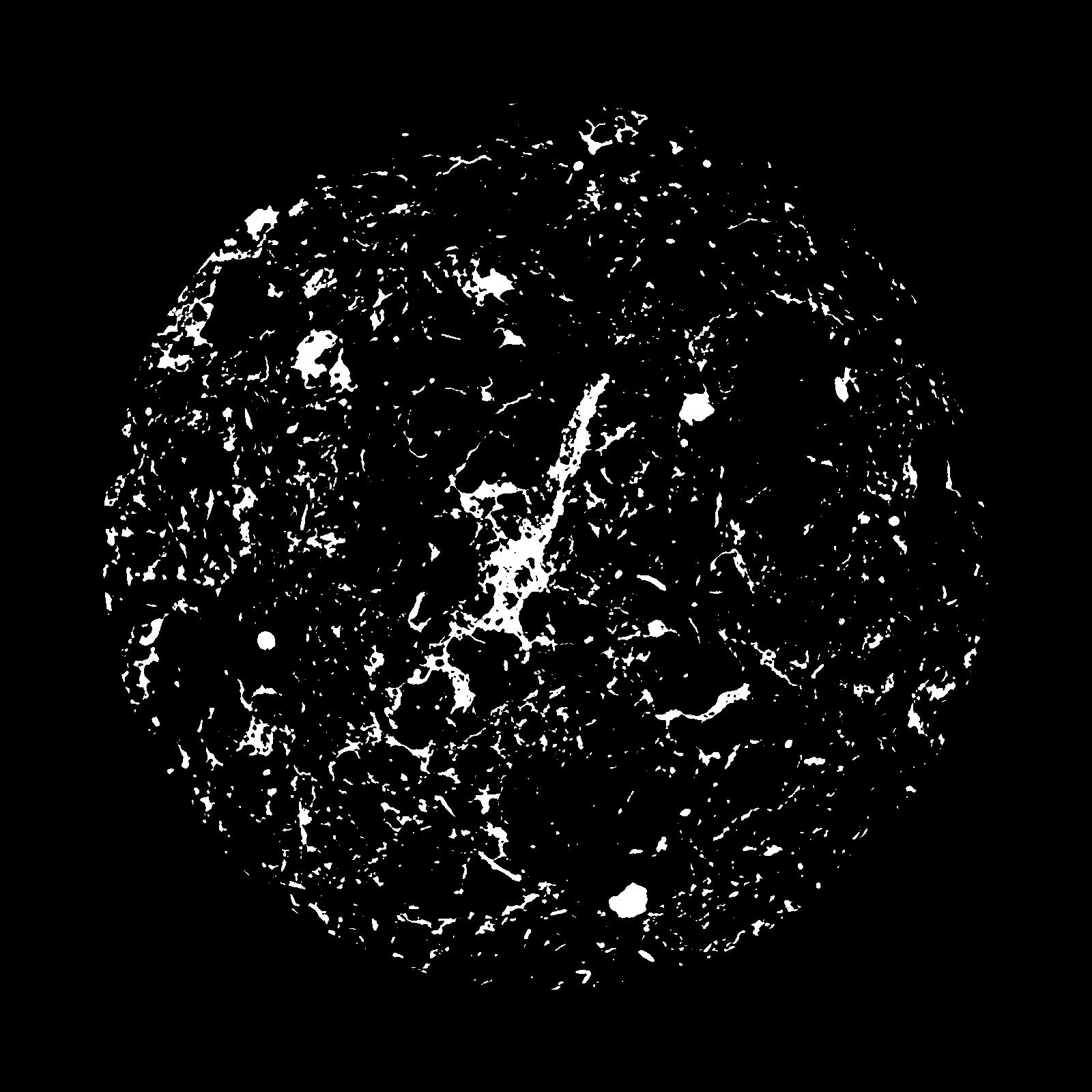
| Pores white? | True |
|---|
|
| XY Plane |

|
|---|
|
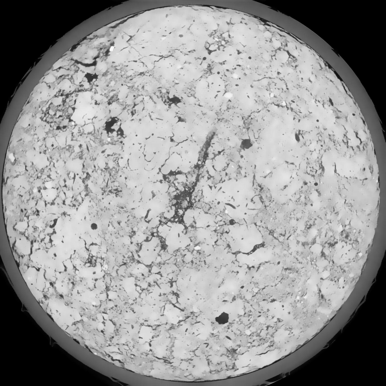
| XY Plane Grey |

|
|---|
|
| Texture | silt loam |
|---|
| Sand | 8.0 |
|---|
| Silt | 79.0 |
|---|
| Clay | 13.0 |
|---|
|
|
Results
| Porosity | Surface | Mean Curvature | Euler | MeanPoreSize | Gamma | PoreDist |
| 0.1021 | 0.860166667 | 0.434166667 | 0.585648148 | 0.0 | 0.7757 | 0.311394782 |
| Opening size | Volume | Surface | MeanCurvature | Euler number |
|---|
| 0.12 | 0.1021 | 0.860166667 | 0.434166667 | 0.585648148 |
| 0.15 | 0.09876 | 0.772666667 | 0.335277778 | 0.237824074 |
| 0.18 | 0.09617 | 0.717333333 | 0.281944444 | 0.14537037 |
| 0.21 | 0.09356 | 0.6715 | 0.248333333 | 0.130138889 |
| 0.24 | 0.0923 | 0.652333333 | 0.241666667 | 0.171944444 |
| 0.27 | 0.08366 | 0.533333333 | 0.170805556 | 0.096388889 |
| 0.3 | 0.07953 | 0.485166667 | 0.148388889 | 0.089583333 |
| 0.36 | 0.07324 | 0.416 | 0.119805556 | 0.077037037 |
| 0.42 | 0.06247 | 0.314333333 | 0.078861111 | 0.044376389 |
| 0.48 | 0.05615 | 0.263 | 0.061527778 | 0.031809259 |
| 0.54 | 0.04745 | 0.201666667 | 0.042944444 | 0.022263889 |
| 0.6000000000000001 | 0.04286 | 0.172 | 0.035083333 | 0.016291204 |
| 0.6599999999999999 | 0.03539 | 0.129533333 | 0.02475 | 0.014060185 |
| 0.72 | 0.03132 | 0.106633333 | 0.019441667 | 0.009589815 |
| 0.78 | 0.02621 | 0.080933333 | 0.013694444 | 0.007056944 |
| 0.8400000000000001 | 0.02389 | 0.069116667 | 0.011113889 | 0.005003704 |
| 0.8999999999999999 | 0.02036 | 0.053233333 | 0.007797222 | 0.003457315 |
| 1.2 | 0.01323 | 0.025083333 | 0.002571917 | 0.000719907 |
| 1.5 | 0.009926 | 0.015701667 | 0.001415278 | 0.000426611 |
| 1.8 | 0.007548 | 0.009561667 | 0.000663389 | 0.000177755 |
| 2.1 | 0.006087 | 0.006615 | 0.000403139 | 0.000151093 |
| 2.7 | 0.005041 | 0.004426667 | 0.000163711 | 0.000026663 |
| 3.3000000000000003 | 0.004726 | 0.003921667 | 0.000123183 | 0.000008887 |
| 3.9 | 0.004428 | 0.003686667 | 0.000119983 | 0.000008887 |
| 4.5 | 0.002196 | 0.001956667 | 0.000078922 | 0.000005872 |
| 5.1 | 0.000742 | 0.000724167 | 0.000037328 | 0.000005872 |
Reference: An open Soil Structure Library based on X-ray CT data


