General Information
Internal Identifier CG_G2_O_a_3cm_a
| Soil Type | Chernozem |
|---|
| Classification | WRB |
|---|
|
| Location | Bernburg (Westerfeld) |
|---|
| Latitude | 51.820 |
|---|
| Longitude | 11.700 |
|---|
|
| Landuse | agricultural crop rotation |
|---|
| Tillage | reduced tillage |
|---|
| Crop | winter wheat, maize, winter wheat, winter rape, winter barley |
|---|
|
| Sampling Depth | 16.0 |
|---|
| Sample Height | 3.0 |
|---|
| Sampling Date | March 28, 2017 |
|---|
| Voxel size | 0.02 |
|---|
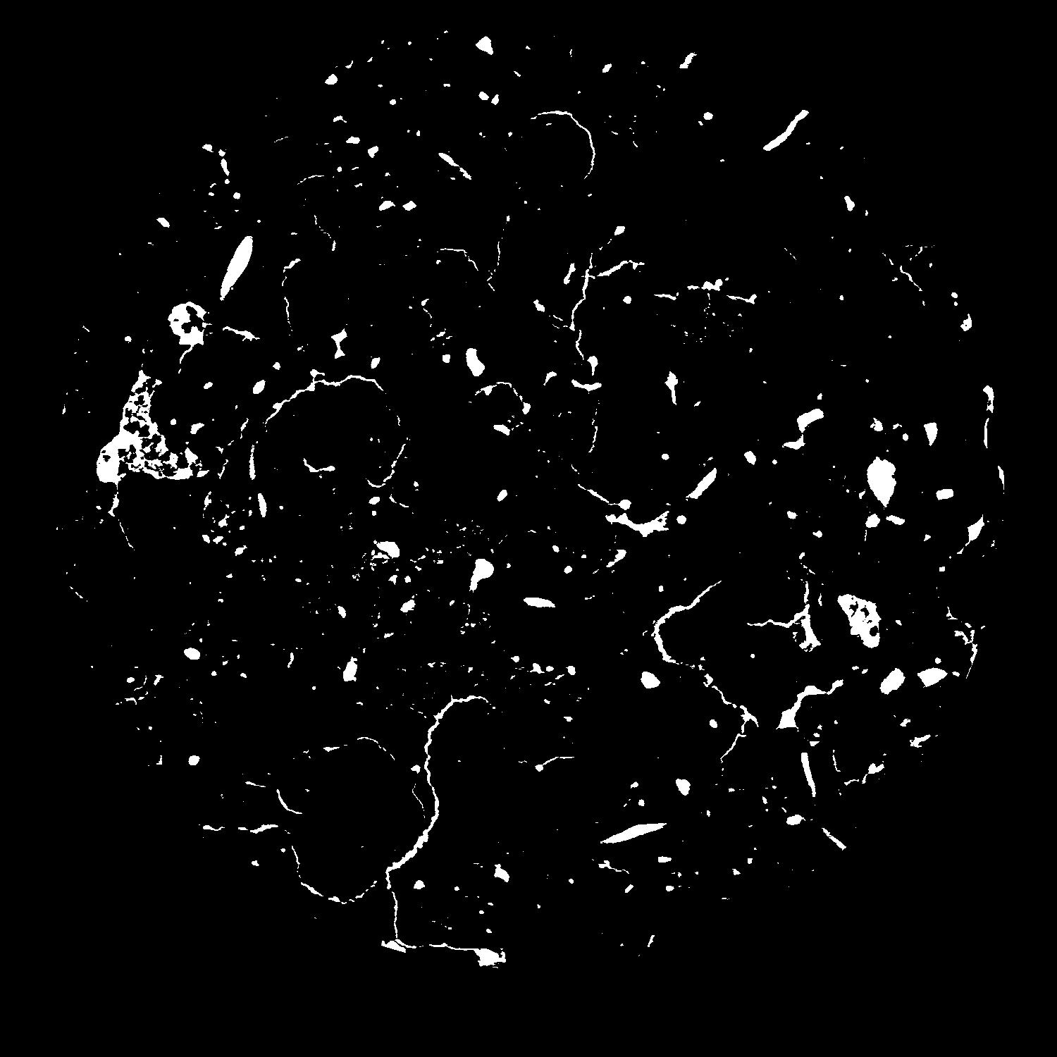
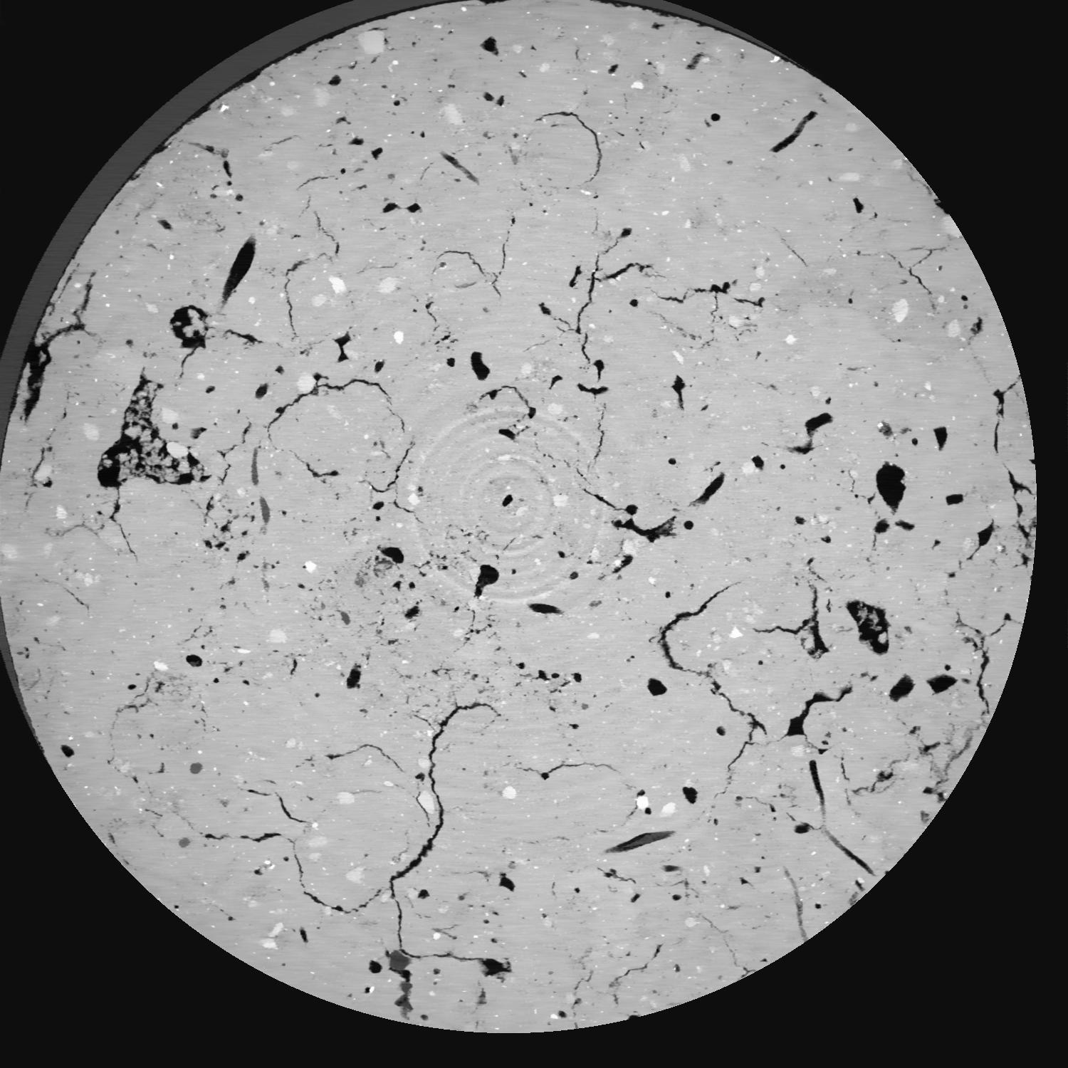
| Pores white? | True |
|---|
|
| XY Plane |

|
|---|
|
| XY Plane Grey |

|
|---|
|
| Texture | silt loam |
|---|
| Sand | 8.0 |
|---|
| Silt | 79.0 |
|---|
| Clay | 13.0 |
|---|
|
|
Results
| Porosity | Surface | Mean Curvature | Euler | MeanPoreSize | Gamma | PoreDist |
| 0.04137 | 1.237 | 2.0335 | 13.775 | 0.0 | 0.3925 | 0.178900509 |
| Opening size | Volume | Surface | MeanCurvature | Euler number |
|---|
| 0.04 | 0.04137 | 1.237 | 2.0335 | 13.775 |
| 0.05 | 0.03847 | 0.989 | 1.208 | 3.84 |
| 0.06 | 0.03613 | 0.8605 | 0.9635 | 2.4375 |
| 0.07 | 0.03459 | 0.7885 | 0.84825 | 2.22625 |
| 0.08 | 0.03388 | 0.759 | 0.831 | 2.60625 |
| 0.09000000000000001 | 0.02966 | 0.5975 | 0.5795 | 1.44875 |
| 0.1 | 0.02801 | 0.544 | 0.51375 | 1.3125 |
| 0.12000000000000001 | 0.02585 | 0.4758 | 0.4345 | 1.0487125 |
| 0.13999999999999999 | 0.02181 | 0.36345 | 0.30075 | 0.6566 |
| 0.16 | 0.01929 | 0.3016 | 0.236625 | 0.49465 |
| 0.18 | 0.01575 | 0.2233 | 0.1579 | 0.3364375 |
| 0.19999999999999998 | 0.01406 | 0.18855 | 0.1265 | 0.237225 |
| 0.22 | 0.01135 | 0.1391 | 0.084275 | 0.17155 |
| 0.24 | 0.01001 | 0.11585 | 0.066825 | 0.10998875 |
| 0.26 | 0.008395 | 0.09075 | 0.04845 | 0.0796 |
| 0.28 | 0.00758 | 0.07825 | 0.040175 | 0.0550925 |
| 0.30000000000000004 | 0.006174 | 0.05915 | 0.02815 | 0.0398 |
| 0.4 | 0.003232 | 0.02409 | 0.00868525 | 0.010391125 |
| 0.5 | 0.001958 | 0.012805 | 0.00408575 | 0.004705375 |
| 0.6 | 0.001238 | 0.007555 | 0.002321325 | 0.002156625 |
| 0.7000000000000001 | 0.0006384 | 0.003562 | 0.00102735 | 0.000980287 |
| 0.9 | 0.000193 | 0.001014 | 0.000274475 | 0.000196062 |
Reference: An open Soil Structure Library based on X-ray CT data


