General Information
Internal Identifier CG_G3_O_a_3cm_a
| Soil Type | Chernozem |
|---|
| Classification | WRB |
|---|
|
| Location | Bernburg (Westerfeld) |
|---|
| Latitude | 51.820 |
|---|
| Longitude | 11.700 |
|---|
|
| Landuse | agricultural crop rotation |
|---|
| Tillage | reduced tillage |
|---|
| Crop | winter wheat, maize, winter wheat, winter rape, winter barley |
|---|
|
| Sampling Depth | 16.0 |
|---|
| Sample Height | 3.0 |
|---|
| Sampling Date | March 28, 2017 |
|---|
| Voxel size | 0.02 |
|---|
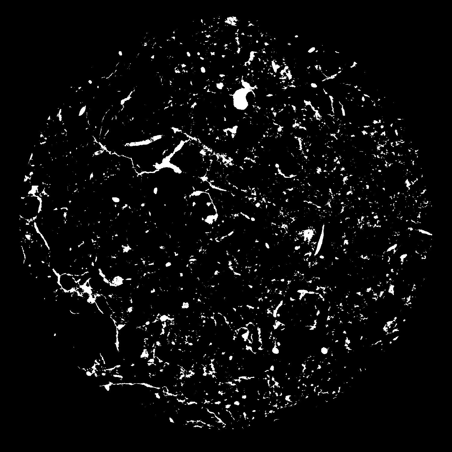
| Pores white? | True |
|---|
|
| XY Plane |

|
|---|
|
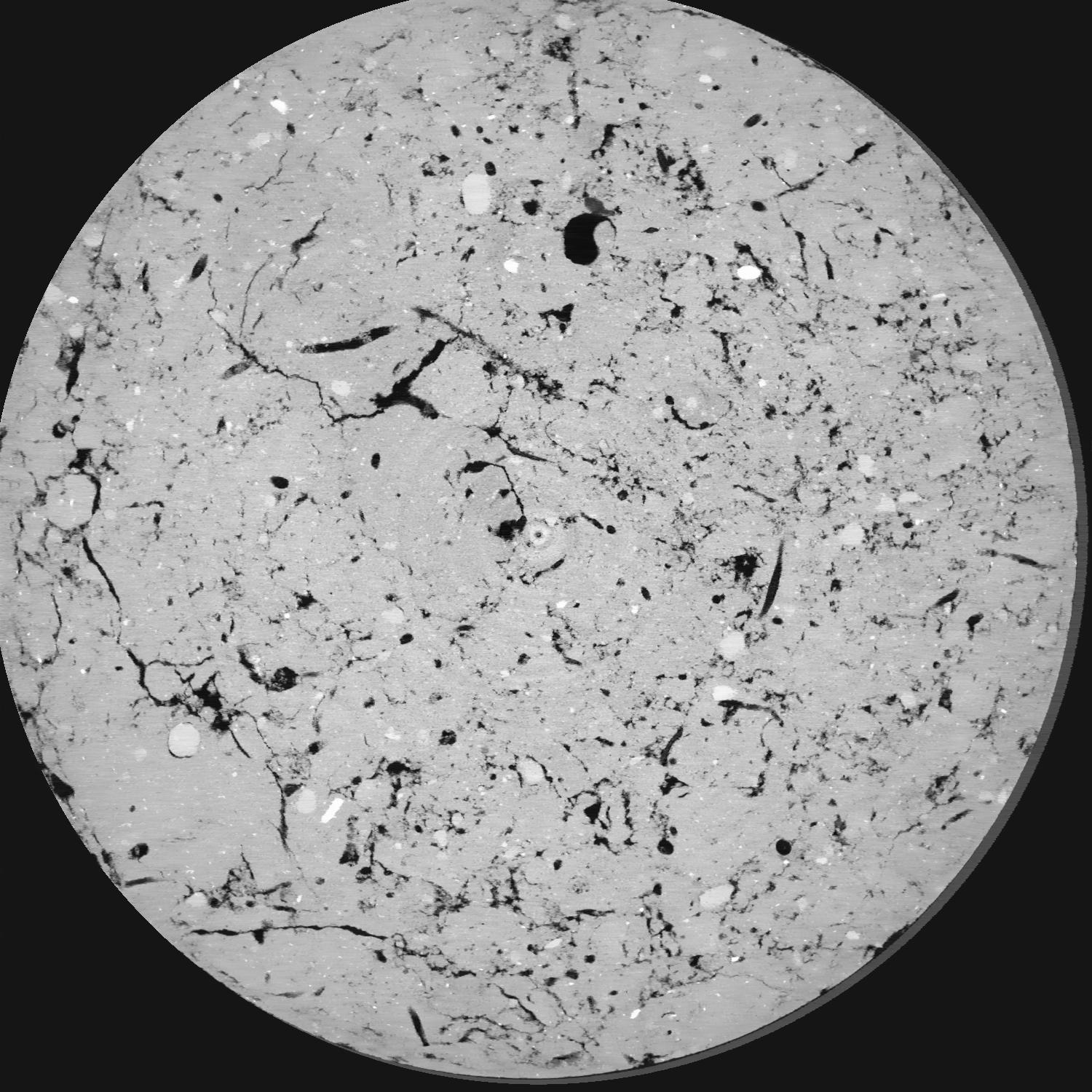
| XY Plane Grey |

|
|---|
|
| Texture | silt loam |
|---|
| Sand | 8.0 |
|---|
| Silt | 79.0 |
|---|
| Clay | 13.0 |
|---|
|
|
Results
| Porosity | Surface | Mean Curvature | Euler | MeanPoreSize | Gamma | PoreDist |
| 0.06726 | 1.999 | 3.11 | 17.025 | 0.0 | 0.6057 | 0.147533558 |
| Opening size | Volume | Surface | MeanCurvature | Euler number |
|---|
| 0.04 | 0.06726 | 1.999 | 3.11 | 17.025 |
| 0.05 | 0.06326 | 1.638 | 1.923 | 3.75625 |
| 0.06 | 0.06009 | 1.4605 | 1.555 | 2.1225 |
| 0.07 | 0.05767 | 1.3455 | 1.3685 | 2.18125 |
| 0.08 | 0.05636 | 1.29 | 1.331 | 3.00375 |
| 0.09000000000000001 | 0.049 | 1.015 | 0.93725 | 1.79 |
| 0.1 | 0.04575 | 0.9115 | 0.82125 | 1.64375 |
| 0.12000000000000001 | 0.04155 | 0.781 | 0.687 | 1.42625 |
| 0.13999999999999999 | 0.03347 | 0.5645 | 0.45425 | 0.9075625 |
| 0.16 | 0.02888 | 0.4552 | 0.34825 | 0.662975 |
| 0.18 | 0.02264 | 0.3215 | 0.223925 | 0.43855 |
| 0.19999999999999998 | 0.01973 | 0.2636 | 0.1744 | 0.3062625 |
| 0.22 | 0.01526 | 0.1837 | 0.109775 | 0.2061375 |
| 0.24 | 0.01314 | 0.1472 | 0.082625 | 0.1319125 |
| 0.26 | 0.01077 | 0.11115 | 0.057375 | 0.09022375 |
| 0.28 | 0.009709 | 0.09525 | 0.047325 | 0.06414625 |
| 0.30000000000000004 | 0.007981 | 0.0721 | 0.032875 | 0.04511125 |
| 0.4 | 0.004262 | 0.02844 | 0.00938775 | 0.011230375 |
| 0.5 | 0.002842 | 0.01597 | 0.00406575 | 0.00342625 |
| 0.6 | 0.001922 | 0.009675 | 0.0022651 | 0.0019035 |
| 0.7000000000000001 | 0.001374 | 0.006545 | 0.001469475 | 0.001332375 |
| 0.9 | 0.0006802 | 0.003289 | 0.000780425 | 0.000380687 |
Reference: An open Soil Structure Library based on X-ray CT data


