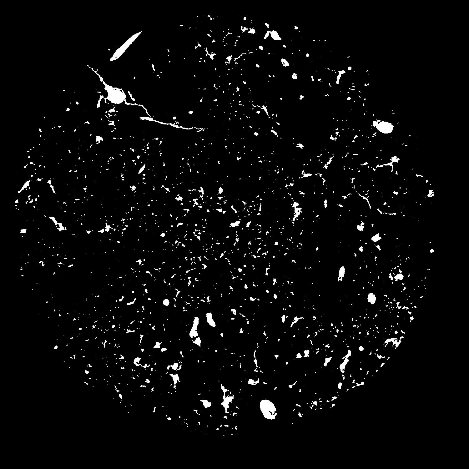
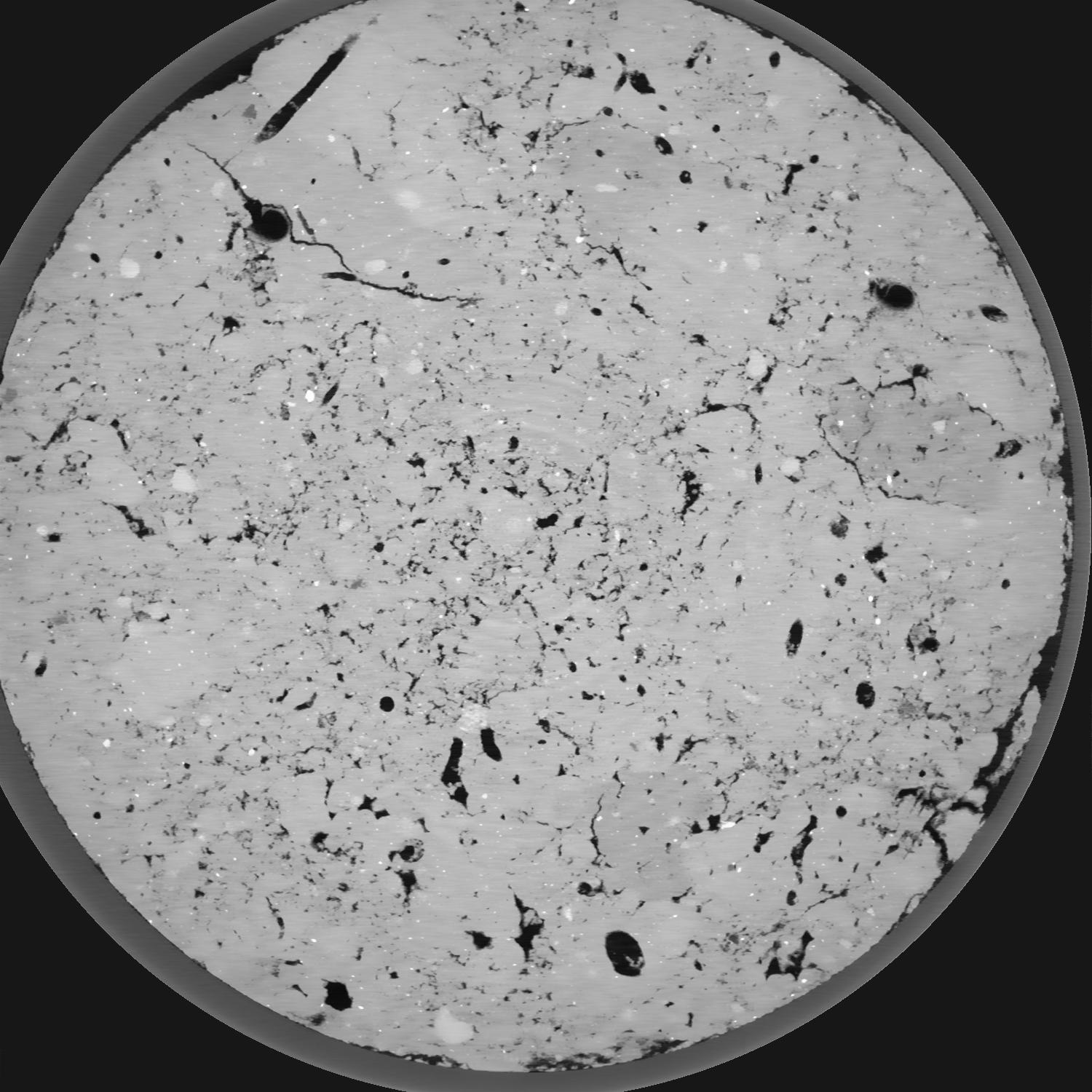
General Information
Internal Identifier CG_G4_O_b_3cm_a
| Soil Type | Chernozem |
|---|
| Classification | WRB |
|---|
|
| Location | Bernburg (Westerfeld) |
|---|
| Latitude | 51.820 |
|---|
| Longitude | 11.700 |
|---|
|
| Landuse | agricultural crop rotation |
|---|
| Tillage | reduced tillage |
|---|
| Crop | winter wheat, maize, winter wheat, winter rape, winter barley |
|---|
|
| Sampling Depth | 16.0 |
|---|
| Sample Height | 19.0 |
|---|
| Sampling Date | March 28, 2017 |
|---|
| Voxel size | 0.02 |
|---|
| Pores white? | True |
|---|
|
| XY Plane |

|
|---|
|
| XY Plane Grey |

|
|---|
|
| Texture | silt loam |
|---|
| Sand | 8.0 |
|---|
| Silt | 79.0 |
|---|
| Clay | 13.0 |
|---|
|
|
Results
| Porosity | Surface | Mean Curvature | Euler | MeanPoreSize | Gamma | PoreDist |
| 0.05883 | 1.7825 | 3.1675 | 21.55 | 0.0 | 0.4442 | 0.150229117 |
| Opening size | Volume | Surface | MeanCurvature | Euler number |
|---|
| 0.04 | 0.05883 | 1.7825 | 3.1675 | 21.55 |
| 0.05 | 0.05483 | 1.42 | 1.88075 | 5.82125 |
| 0.06 | 0.05178 | 1.2395 | 1.43775 | 3.23375 |
| 0.07 | 0.04944 | 1.123 | 1.2175 | 2.89 |
| 0.08 | 0.04822 | 1.07 | 1.1735 | 3.66125 |
| 0.09000000000000001 | 0.04155 | 0.8065 | 0.73825 | 1.775 |
| 0.1 | 0.03882 | 0.7165 | 0.626 | 1.4925 |
| 0.12000000000000001 | 0.03541 | 0.608 | 0.5035 | 1.18135 |
| 0.13999999999999999 | 0.02926 | 0.4427 | 0.32025 | 0.6322375 |
| 0.16 | 0.02583 | 0.36325 | 0.24605 | 0.4391375 |
| 0.18 | 0.02123 | 0.26755 | 0.16155 | 0.2876 |
| 0.19999999999999998 | 0.01915 | 0.22795 | 0.13055 | 0.2082 |
| 0.22 | 0.01578 | 0.17155 | 0.089475 | 0.1582125 |
| 0.24 | 0.01407 | 0.1437 | 0.070925 | 0.1009625 |
| 0.26 | 0.01195 | 0.11335 | 0.051975 | 0.07782875 |
| 0.28 | 0.01103 | 0.1001 | 0.044425 | 0.05606875 |
| 0.30000000000000004 | 0.00936 | 0.07855 | 0.0318 | 0.0409725 |
| 0.4 | 0.005674 | 0.03847 | 0.01237425 | 0.014115 |
| 0.5 | 0.003742 | 0.022465 | 0.0065205 | 0.0070575 |
| 0.6 | 0.002403 | 0.01327 | 0.0036385 | 0.00333275 |
| 0.7000000000000001 | 0.001412 | 0.00719 | 0.001827125 | 0.001764375 |
| 0.9 | 0.000494 | 0.0021865 | 0.000466575 | 0.000392088 |
| 1.1 | 0.00007361 | 0.00036762 | 0.000098022 | 0.000079378 |
Reference: An open Soil Structure Library based on X-ray CT data


