General Information
Internal Identifier CG_G4_O_b_3cm_c
| Soil Type | Chernozem |
|---|
| Classification | WRB |
|---|
|
| Location | Bernburg (Westerfeld) |
|---|
| Latitude | 51.820 |
|---|
| Longitude | 11.700 |
|---|
|
| Landuse | agricultural crop rotation |
|---|
| Tillage | reduced tillage |
|---|
| Crop | winter wheat, maize, winter wheat, winter rape, winter barley |
|---|
|
| Sampling Depth | 16.0 |
|---|
| Sample Height | 3.0 |
|---|
| Sampling Date | March 28, 2017 |
|---|
| Voxel size | 0.02 |
|---|
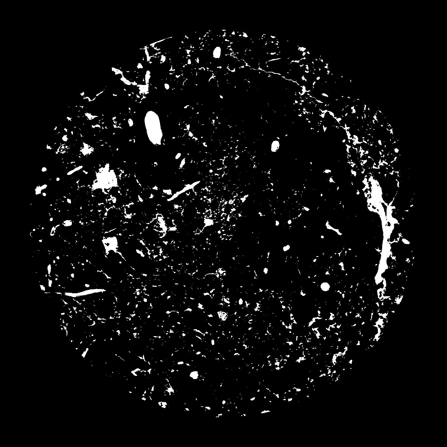
| Pores white? | True |
|---|
|
| XY Plane |

|
|---|
|
| XY Plane Grey |

|
|---|
|
| Texture | silt loam |
|---|
| Sand | 8.0 |
|---|
| Silt | 79.0 |
|---|
| Clay | 13.0 |
|---|
|
|
Results
| Porosity | Surface | Mean Curvature | Euler | MeanPoreSize | Gamma | PoreDist |
| 0.07685 | 2.127 | 3.2925 | 20.175 | 0.0 | 0.6523 | 0.141329811 |
| Opening size | Volume | Surface | MeanCurvature | Euler number |
|---|
| 0.04 | 0.07685 | 2.127 | 3.2925 | 20.175 |
| 0.05 | 0.07246 | 1.7215 | 1.95175 | 3.81875 |
| 0.06 | 0.06898 | 1.525 | 1.53425 | 1.975 |
| 0.07 | 0.06637 | 1.4 | 1.32925 | 2.0925 |
| 0.08 | 0.06496 | 1.34 | 1.289 | 3.0475 |
| 0.09000000000000001 | 0.0572 | 1.05 | 0.87275 | 1.66125 |
| 0.1 | 0.0539 | 0.945 | 0.757 | 1.5075 |
| 0.12000000000000001 | 0.04977 | 0.8175 | 0.6275 | 1.30375 |
| 0.13999999999999999 | 0.04195 | 0.613 | 0.417 | 0.7692 |
| 0.16 | 0.03752 | 0.5125 | 0.32825 | 0.546775 |
| 0.18 | 0.03137 | 0.39005 | 0.228875 | 0.3987625 |
| 0.19999999999999998 | 0.02835 | 0.3344 | 0.1883 | 0.2960125 |
| 0.22 | 0.02314 | 0.24865 | 0.128425 | 0.2327875 |
| 0.24 | 0.02064 | 0.2082 | 0.1015 | 0.144625 |
| 0.26 | 0.01749 | 0.163 | 0.07315 | 0.1057175 |
| 0.28 | 0.01616 | 0.1441 | 0.062075 | 0.0769625 |
| 0.30000000000000004 | 0.01386 | 0.1155 | 0.046225 | 0.05751 |
| 0.4 | 0.008472 | 0.05785 | 0.018784 | 0.018395 |
| 0.5 | 0.005348 | 0.03216 | 0.00954 | 0.009514625 |
| 0.6 | 0.00344 | 0.018425 | 0.0049475 | 0.004440125 |
| 0.7000000000000001 | 0.00224 | 0.010995 | 0.002753 | 0.002748625 |
| 0.9 | 0.0009969 | 0.004103 | 0.000807675 | 0.000422875 |
| 1.1 | 0.00016 | 0.0006295 | 0.00012686 | 0.000075334 |
Reference: An open Soil Structure Library based on X-ray CT data


